 Wend
Wend
Driving roads · Wisconsin
The best driving roads in Wisconsin
The five roads in Wisconsin with the most curve and climb on Wend's map, each one also recommended by people who have driven or ridden it.
-
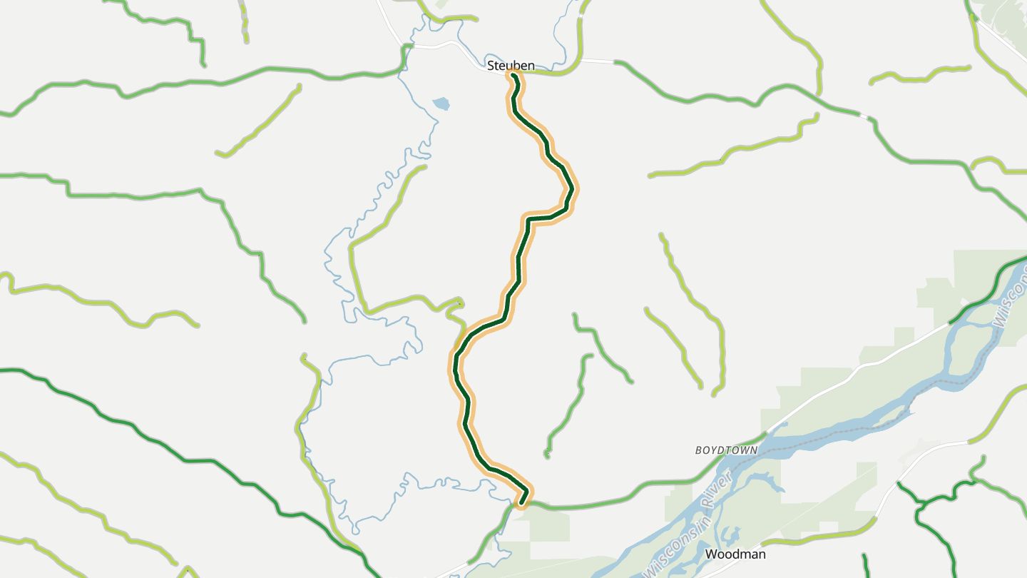
01Highway 131 (Kickapoo River)
Wisconsin Highway 131 along the Kickapoo River between Wauzeka and Steuben, southern end of the Kickapoo Valley route.
Follows the Kickapoo River, called the crookedest river in the world, crossing it again and again. Tight turns south of Steuben open onto ridge vistas, then the road drops back into wooded valleys.
7.1 miles · 850 ft of climbing · near Steuben
Open in WendRecommended by State Trunk Tour
-
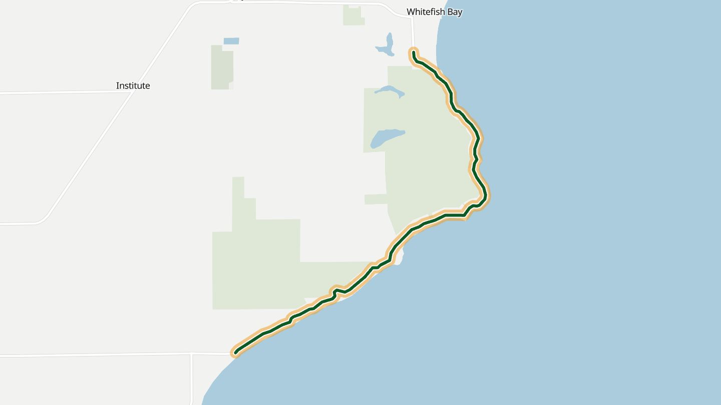
02Glidden Drive (Rustic Road 9)
Glidden Drive (Rustic Road 9), County T along Lake Michigan, Door County.
A Rustic Road on the Lake Michigan shore that runs through sand dunes, dense forest and trout streams, past an old sawmill and a log cabin, and ends at a sandy beach.
5.7 miles · 300 ft of climbing · near Sturgeon Bay
Open in WendRecommended by Wisconsin Department of Transportation, Rustic Roads
-
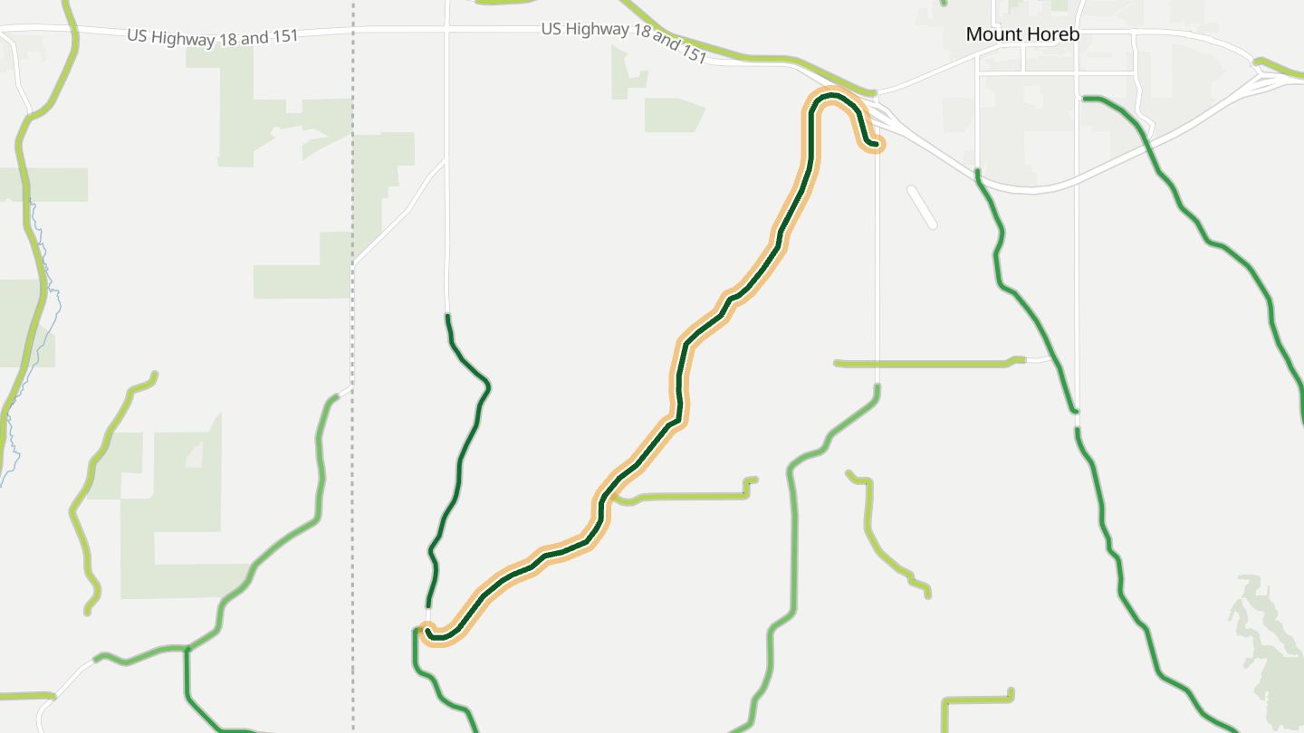
03County Road E
County Highway E southwest of Mount Horeb, part of the Mt. Horeb to New Glarus ride in the southeast Driftless.
Part of a ride through the southeast corner of the Driftless, where high speed sweepers alternate with tight s-curves, and streams, farms and forest line the way. Elevation change is better than most of the Midwest offers.
6.2 miles · 700 ft of climbing · near Mount Horeb
Open in WendRecommended by motorcycleroads.com
-
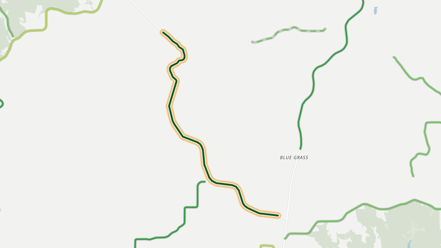
04Highway 130
Wisconsin Highway 130 near Clyde between Dodgeville and Spring Green, used on the Spring Green to Prairie du Chien ride.
Runs through hills, valleys and bluffs toward the Wisconsin River, on smooth, well-paved tarmac. Riders pair it with County C from Spring Green and finish with breakfast in Boscobel.
5.3 miles · 950 ft of climbing · near Clyde
Open in WendRecommended by motorcycleroads.com
-
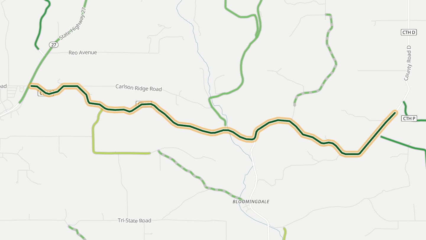
05County Road P
County Road P east of Westby, Vernon County (Driftless), the eastern part of the Vernon City P ride toward Hillsboro.
Sweeping curves give way to tighter twisties further east, through bluffs and coulees of the Driftless. The surface improves the farther east the road goes.
6.5 miles · 1,050 ft of climbing · near Westby
Open in WendRecommended by motorcycleroads.com
More regions
ArizonaAustraliaCaliforniaColoradoGeorgiaGreat BritainMissouriNew JerseyNew YorkNorth CarolinaOhioTennesseeVirginiaWashington