 Wend
Wend
Driving roads · Washington
The best driving roads in Washington
The ten roads in Washington with the most curve and climb on Wend's map, each one also recommended by people who have driven or ridden it.
-
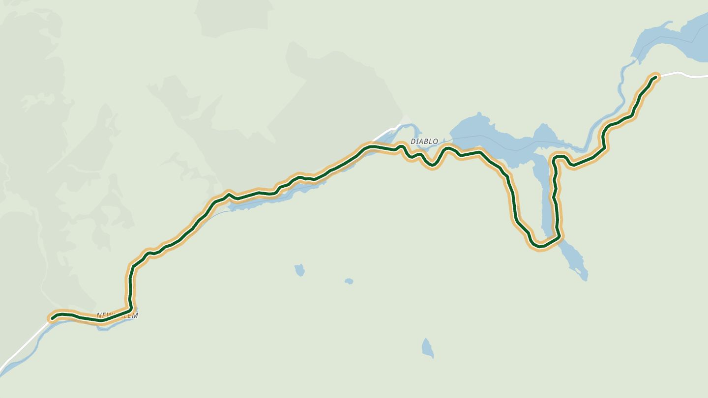
01North Cascades Highway (SR 20)
SR 20, the North Cascades Highway, through North Cascades National Park near Newhalem and Ross Lake.
Curves follow the Skagit River through North Cascades National Park, with waterfalls dropping off the mountainsides and very little traffic or development.
14.6 miles · 3,050 ft of climbing · near Newhalem
Good to know Closed in winter; reopens in spring.
Open in WendRecommended by Rider Magazine
-
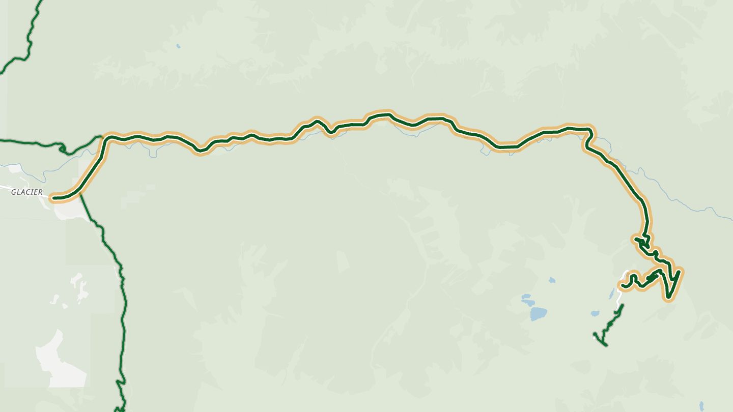
02Mount Baker Highway (SR 542)
Mount Baker Highway (SR 542) from Glacier up to Artist Point in Mount Baker-Snoqualmie National Forest.
Follows the Nooksack River past old-growth forest and waterfalls, then climbs toward Mount Baker, with Picture Lake, Twin Lake and Artist Point at the top.
20.5 miles · 4,300 ft of climbing · near Glacier
Good to know The last 2.7 miles to Artist Point close for winter, roughly mid-October or early November to mid or late June.
Open in WendRecommended by Washington State Tourism
-
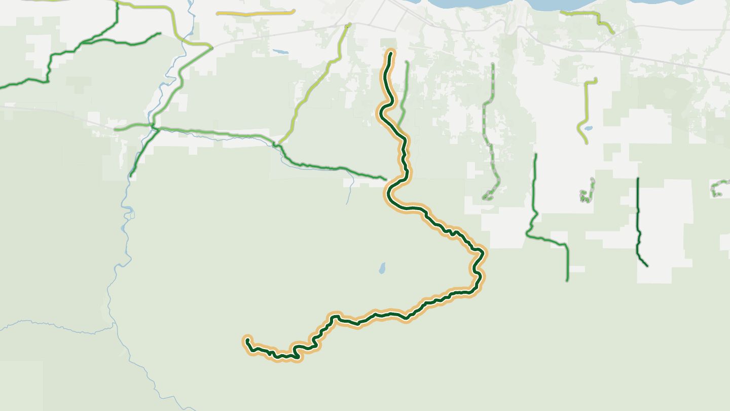
03Hurricane Ridge Road
Hurricane Ridge Road from Port Angeles into Olympic National Park.
A 17-mile climb from Port Angeles to 5,242 feet, with turnouts looking over the Strait of Juan de Fuca and across the Olympic Mountains.
18.8 miles · 5,500 ft of climbing · near Port Angeles
Good to know Closes on some winter days, often at short notice; tire chains must be carried in winter.
Open in WendRecommended by National Park Service
-
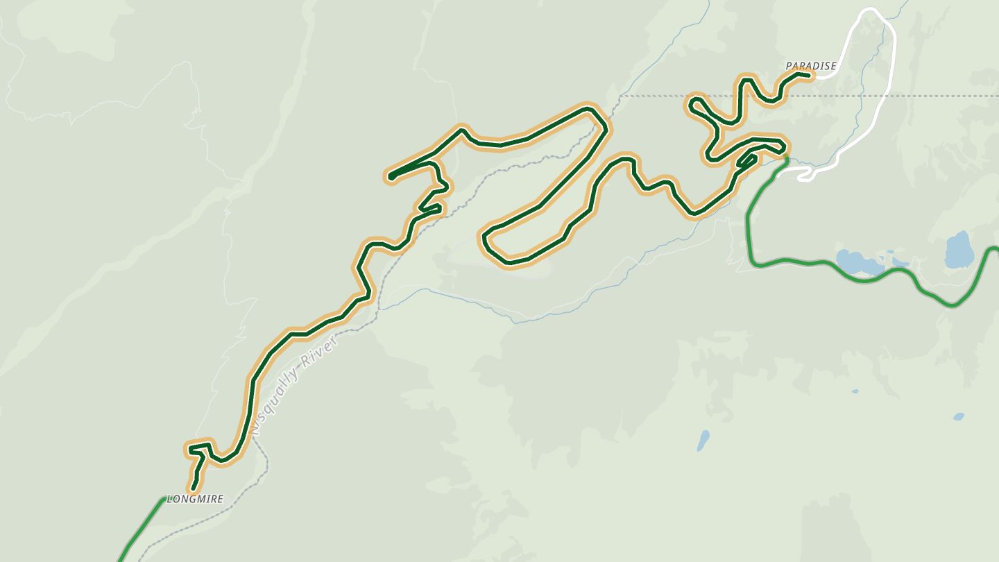
04Longmire-to-Paradise Road
Mount Rainier National Park road from Longmire up to Paradise.
The park road climbs from Longmire to Paradise on the flank of Mount Rainier and stays open all year.
11.1 miles · 4,150 ft of climbing · near Mount Rainier National Park
Good to know Tire chains must be carried by all vehicles Nov 1 to May 1.
Open in WendRecommended by Visit Rainier
-
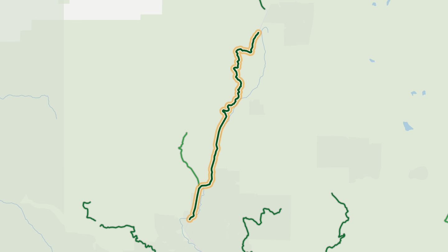
05Wind River Highway
Wind River Highway (Forest Road 30) north from Carson through Gifford Pinchot National Forest.
Smooth pavement, twisties and sweepers wind through Gifford Pinchot National Forest, with a side trip for a look at Mount St. Helens from its quieter side.
11.4 miles · 1,700 ft of climbing · near Carson
Good to know Northern end (Randle side) typically closes in winter with snow. Few services along the road.
Open in WendRecommended by MotorcycleRoads.com
-
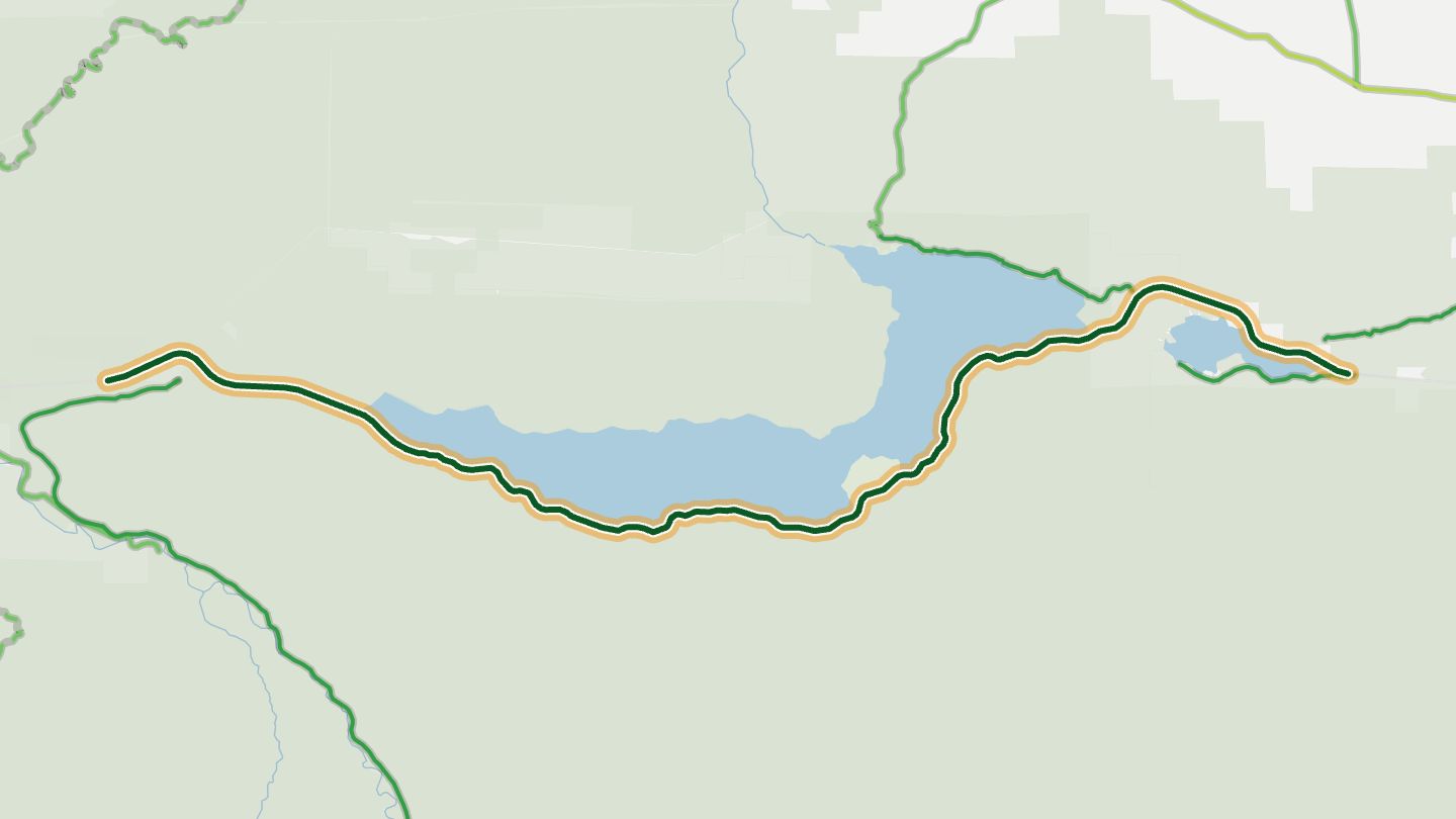
06US 101 along Lake Crescent
US 101 along the south shore of Lake Crescent in Olympic National Park.
Smooth, recently paved curves skirt the glacier-carved lake, with a second mountain range rising across the water.
16.4 miles · 1,900 ft of climbing · near Lake Crescent
Open in WendRecommended by Olympic Peninsula tourism (olympicpeninsula.org)
-
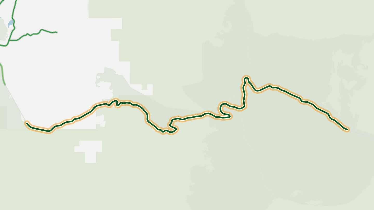
07Sherman Pass Highway (SR 20)
SR 20 over Sherman Pass, the Sherman Pass Scenic Byway, near Republic in Colville National Forest.
Crosses the highest maintained pass in the state through pine, fir and larch forest, past waterfalls and old logging sites.
20.1 miles · 4,150 ft of climbing · near Republic
Open in WendRecommended by Washington State Tourism
-
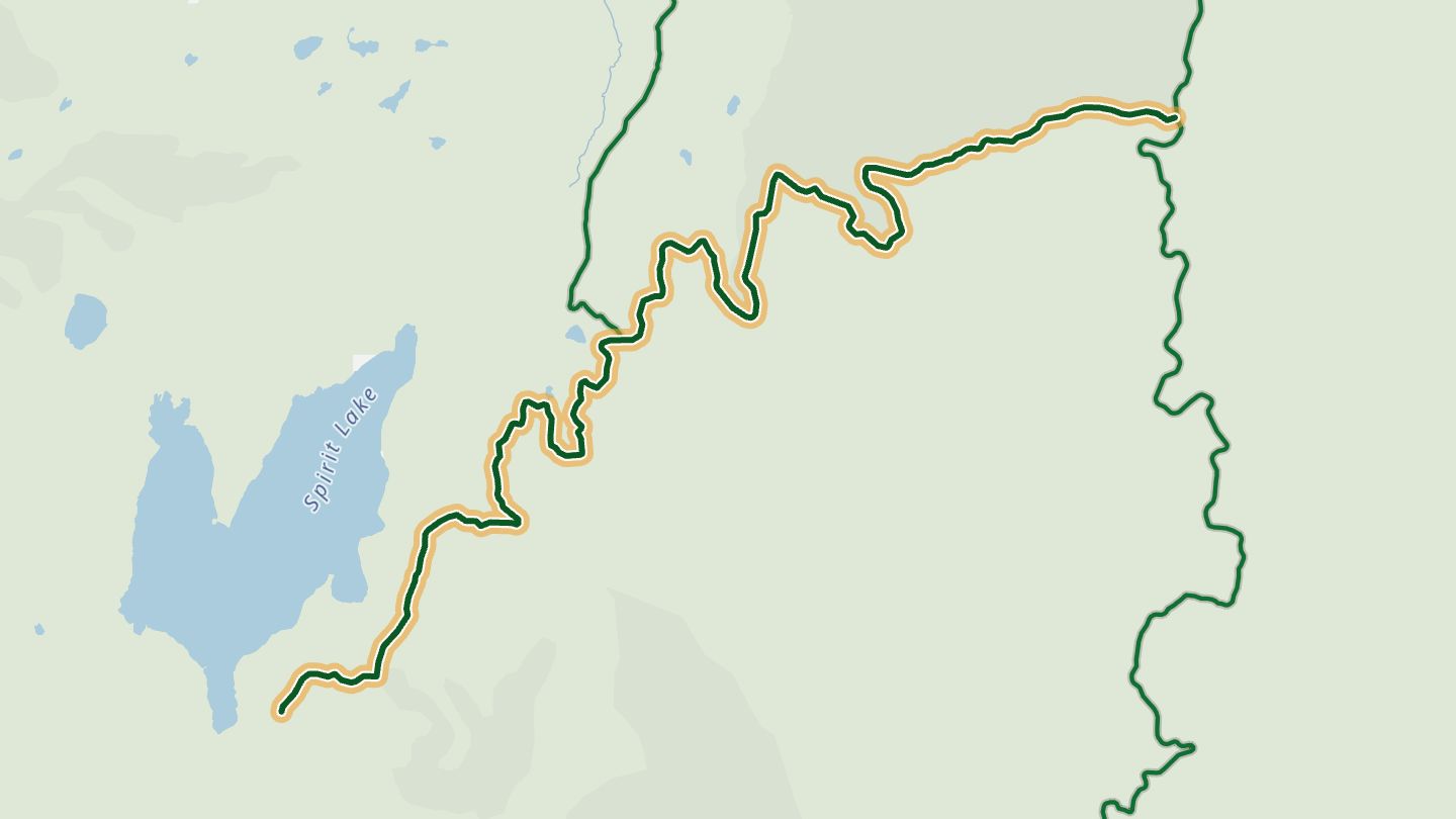
08Windy Ridge Road (Forest Road 99)
Forest Road 99, Windy Ridge Road, from Forest Road 25 to the Windy Ridge viewpoint facing Mount St. Helens.
Winding road runs from forest into the blast zone, with ten interpretive stops and a final viewpoint over the crater, Spirit Lake and the 1980 eruption landscape.
16.0 miles · 3,650 ft of climbing · near Mount St. Helens
Good to know Open about July 1 to Nov 30. $5 per vehicle day-use fee or recreation pass. Narrow, with gravel stretches; no trailers.
Open in WendRecommended by USDA Forest Service, Gifford Pinchot National Forest
-
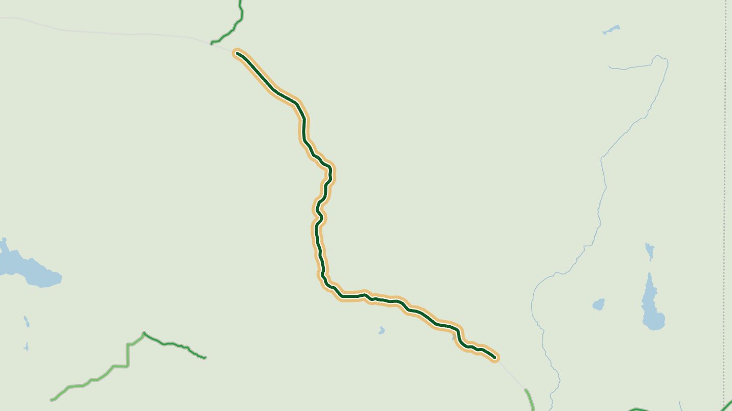
09Coulee Corridor (SR 155)
Coulee Corridor National Scenic Byway, SR 155 near Grand Coulee.
Follows landscapes shaped by Ice Age floods, with lakes, gorges and canyons and good birdwatching along the way.
16.2 miles · 2,450 ft of climbing · near Grand Coulee
Open in WendRecommended by Washington State Tourism
-
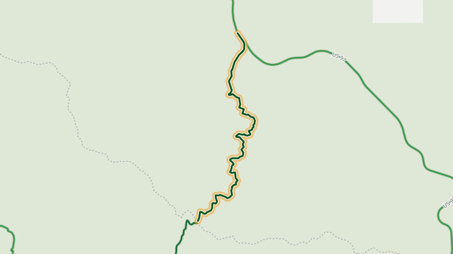
10Old Blewett Pass Highway
Old Blewett Pass Highway, the paved 1930s alignment west of US 97 above Cashmere.
The 1930s alignment of Blewett Pass twists through forest on a one-lane road, a look at how mountain highways used to be, with a summit for picnics.
6.0 miles · 2,000 ft of climbing · near Cashmere
Good to know Not kept open in winter. Mostly one lane wide with pullouts.
Open in WendRecommended by The Seattle Times
More regions
ArizonaAustraliaCaliforniaColoradoGeorgiaGreat BritainMissouriNew JerseyNew YorkNorth CarolinaOhioTennesseeVirginiaWisconsin