 Wend
Wend
Driving roads · Tennessee
The best driving roads in Tennessee
The ten roads in Tennessee with the most curve and climb on Wend's map, each one also recommended by people who have driven or ridden it.
-
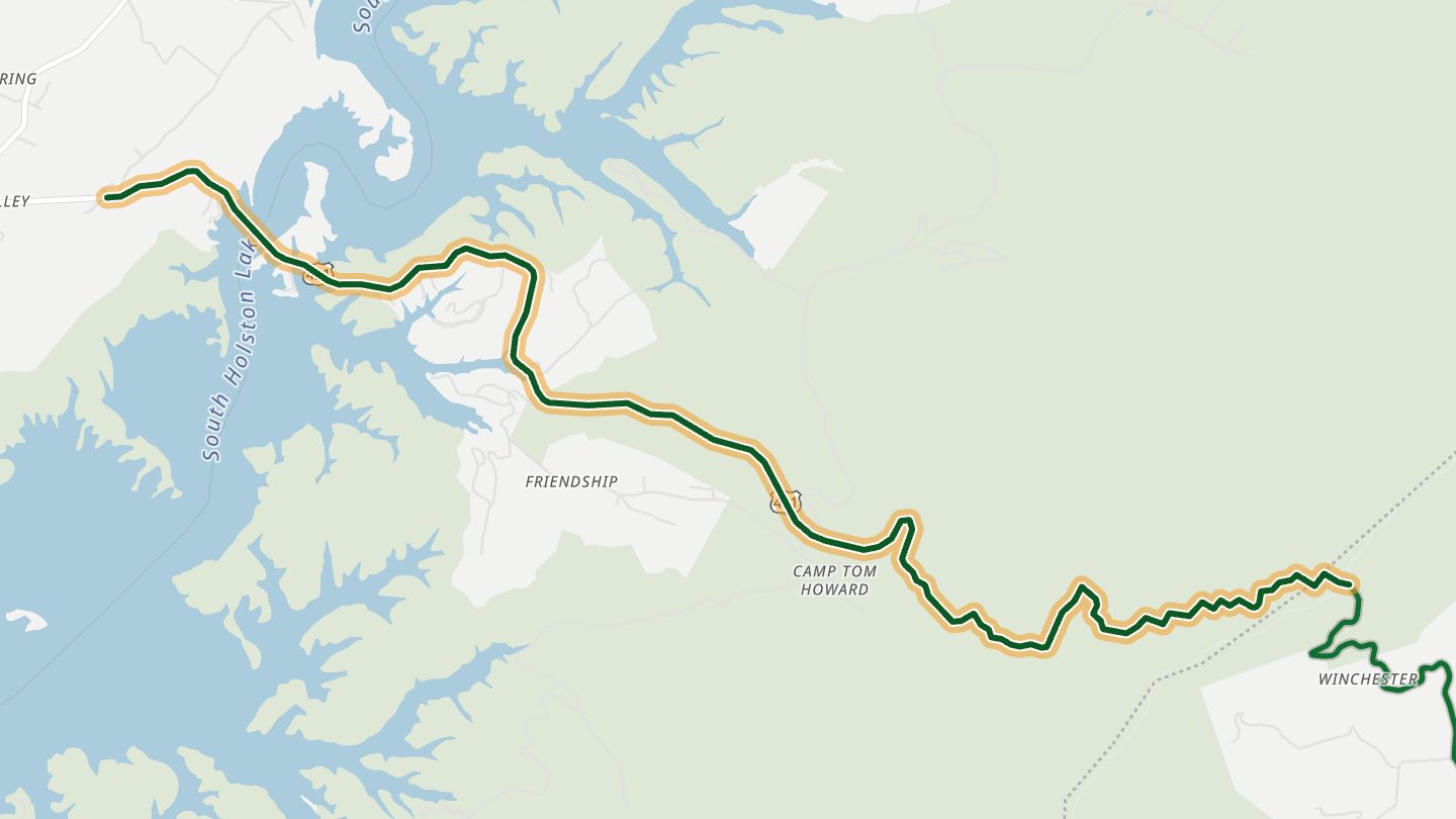
01US 421 (The Snake)
US 421 'The Snake' between Mountain City, Shady Valley and Holston Valley, Johnson/Sullivan County.
Crosses three ridges and a valley through the Cherokee National Forest, with good pavement and long runs of curves between Mountain City and Holston Valley.
8.6 miles · 2,700 ft of climbing · near Shady Valley
Open in WendRecommended by motorcycleroads.com
-
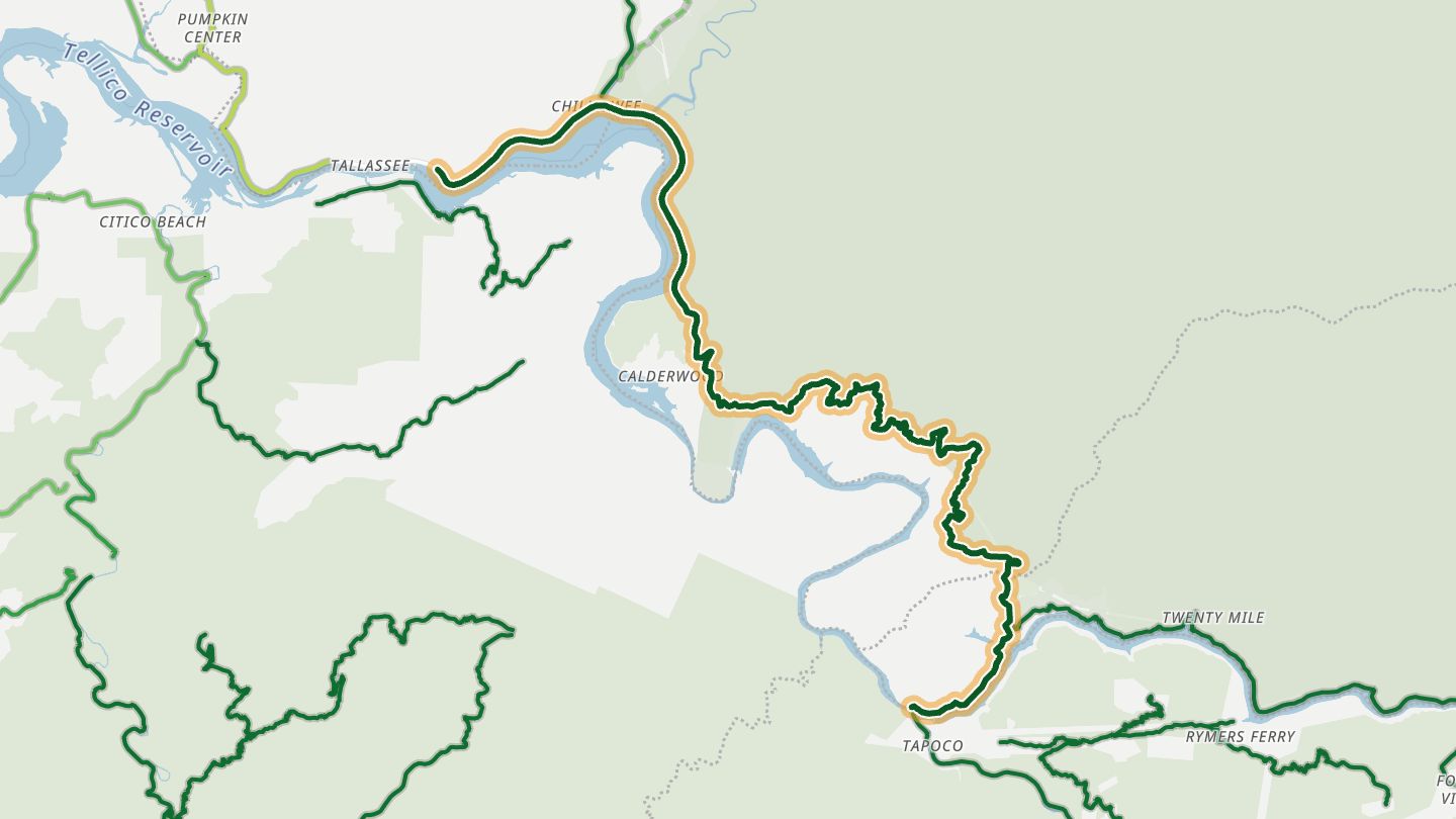
02US 129 (Tail of the Dragon)
US 129 Tail of the Dragon, Tennessee side (Calderwood Highway), Blount County. Tapoco is in Graham County, NC, just south of the road's bbox, so near changed to Tallassee, TN (on US 129 near Chilhowee Dam)..
The Tennessee half of the Tail of the Dragon, a run of tight, closely spaced curves along the edge of Great Smoky Mountains National Park, with little roadside development.
19.6 miles · 2,500 ft of climbing · near Tallassee
Good to know 30 mph limit with active enforcement.
Open in WendRecommended by motorcycleroads.com
-
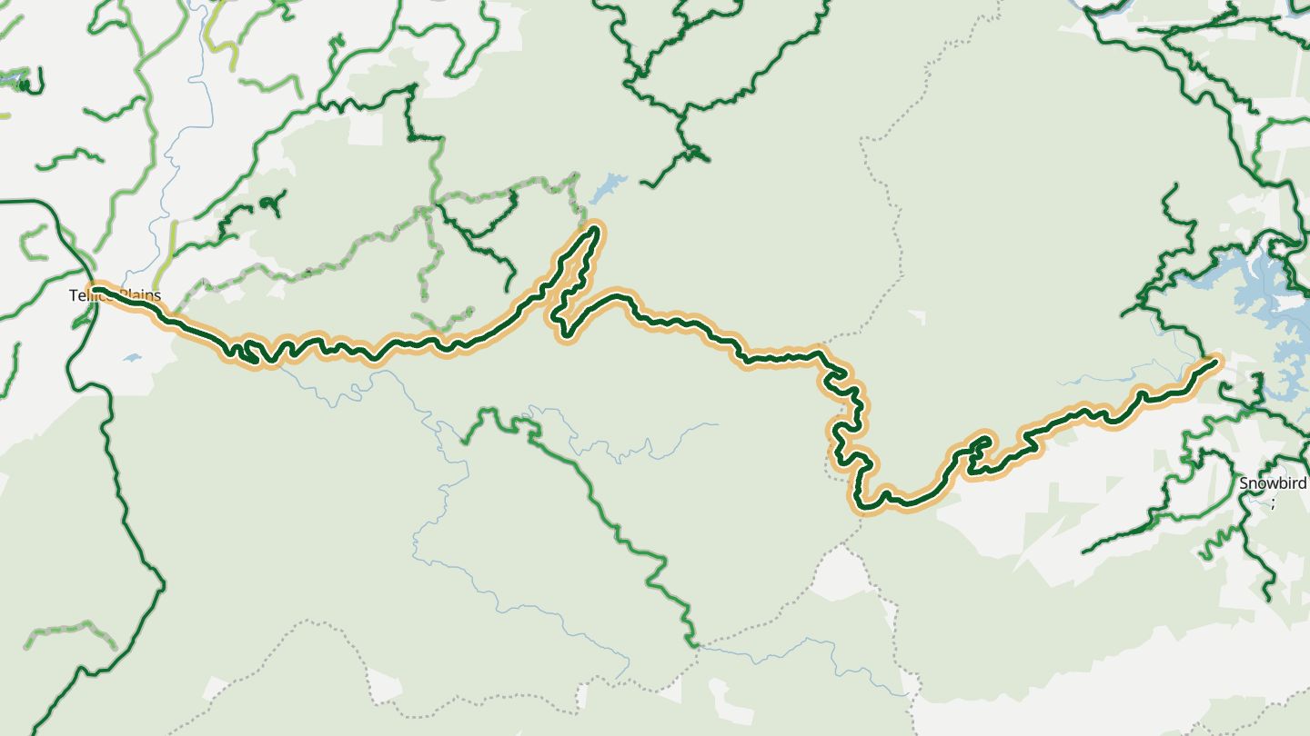
03Cherohala Skyway
Cherohala Skyway (TN-165) from Tellico Plains toward Robbinsville NC, National Scenic Byway.
A National Scenic Byway that climbs through the Cherokee and Nantahala forests to nearly 5,400 feet, with 15 overlooks and long smooth sweepers on the way.
41.6 miles · 5,650 ft of climbing · near Tellico Plains
Good to know No gas or stores along the route.
Open in WendRecommended by Visit Smokies
-
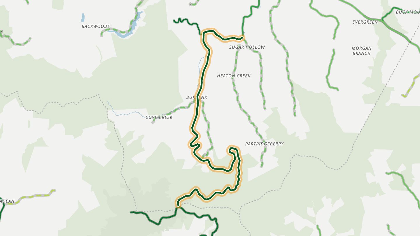
04TN 143 (Roan Mountain)
TN-143 up Roan Mountain to Carvers Gap, Carter County.
A steady, curvy climb to Carvers Gap on the Tennessee side of Roan Mountain, with switchbacks and forest views, and a steep descent that riders call one thrilling turn after another.
10.3 miles · 4,100 ft of climbing · near Roan Mountain
Open in WendRecommended by Rider Magazine
-
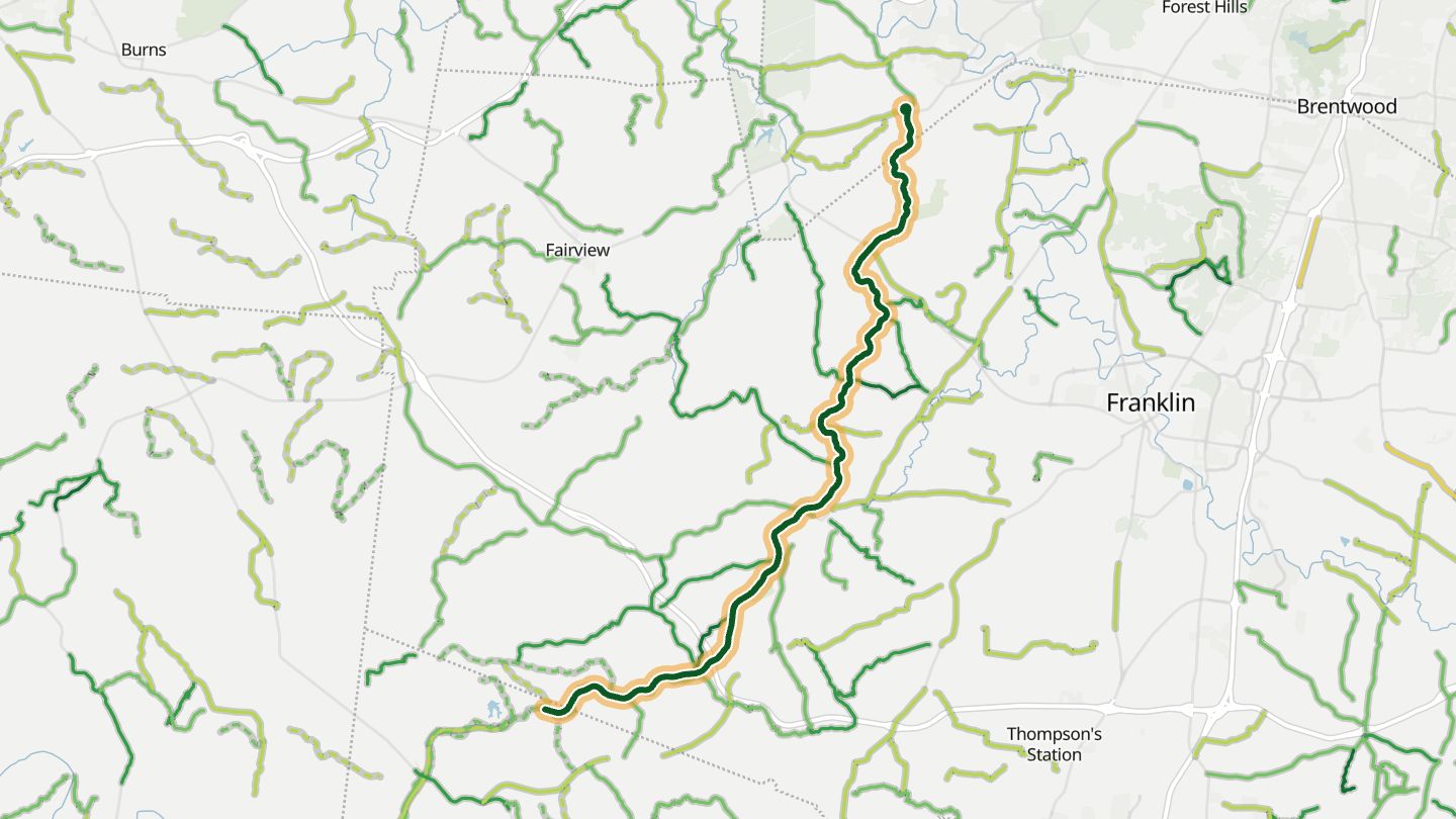
05Natchez Trace Parkway
Natchez Trace Parkway, Tennessee end near Franklin, Williamson County (National Scenic Byway).
A smooth, uncrowded parkway with a steady 50 mph pace, no commercial traffic and no billboards, winding through hardwood forest and rolling hills.
23.2 miles · 1,650 ft of climbing · near Franklin
Good to know 50 mph limit; no commercial traffic; no fuel on the parkway.
Open in WendRecommended by Rider Magazine
-
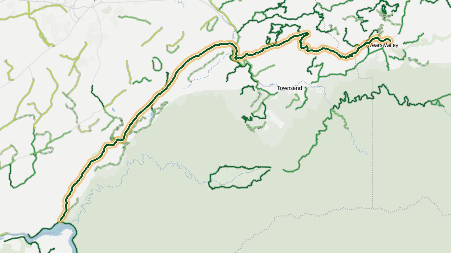
06Foothills Parkway
Foothills Parkway, western section Walland to Wears Valley and onward, Blount/Sevier County.
A national parkway along the edge of the Smokies with overlooks, little traffic, a slow speed limit and no buildings or billboards. Riders treat it as a scenic cruise more than a twisty road.
31.5 miles · 4,300 ft of climbing · near Walland
Good to know Weather closures are posted by NPS; no services along it.
Open in WendRecommended by Tail of the Dragon
-
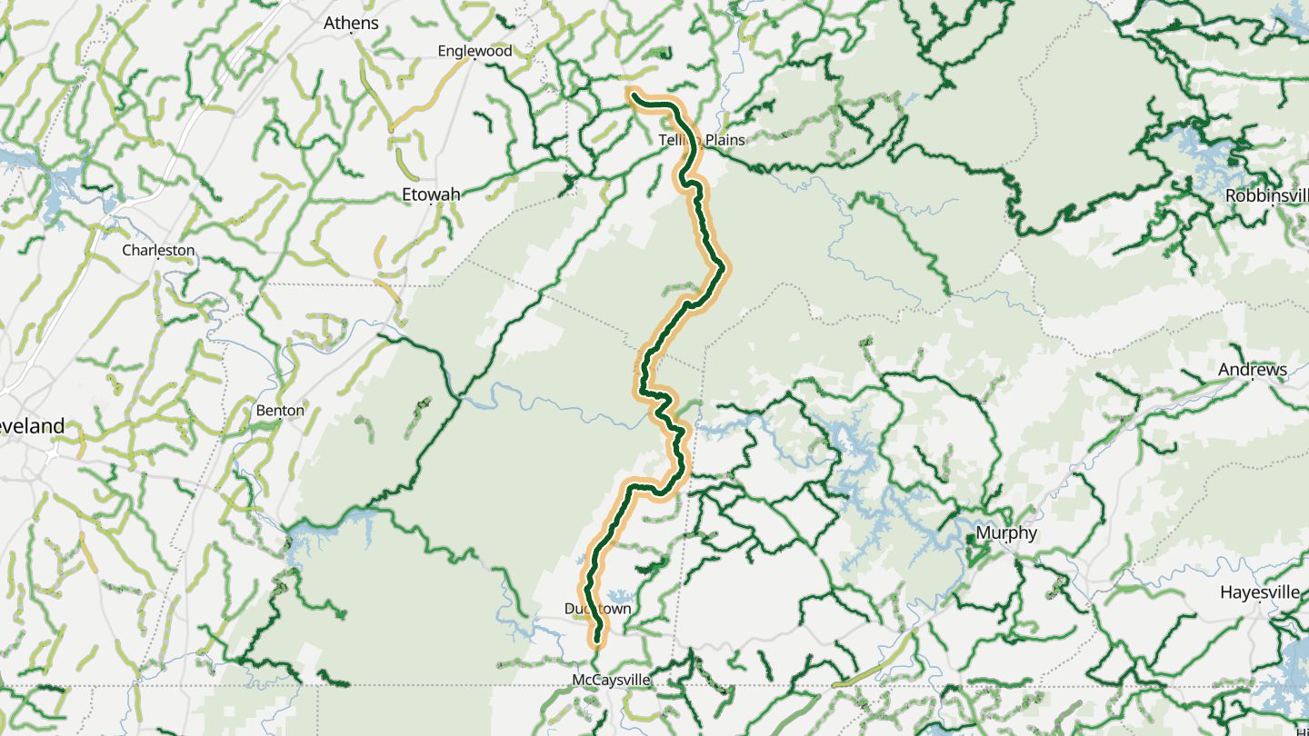
07TN 68
TN-68 between Ducktown and Tellico Plains through the Cherokee National Forest, Polk/Monroe County.
Tight curves and quick bends through mountains and creeks in the Cherokee National Forest, with very few buildings along the way.
37.8 miles · 3,250 ft of climbing · near Ducktown
Good to know Fuel is scarce along it; fill up before.
Open in WendRecommended by motorcycleroads.com
-
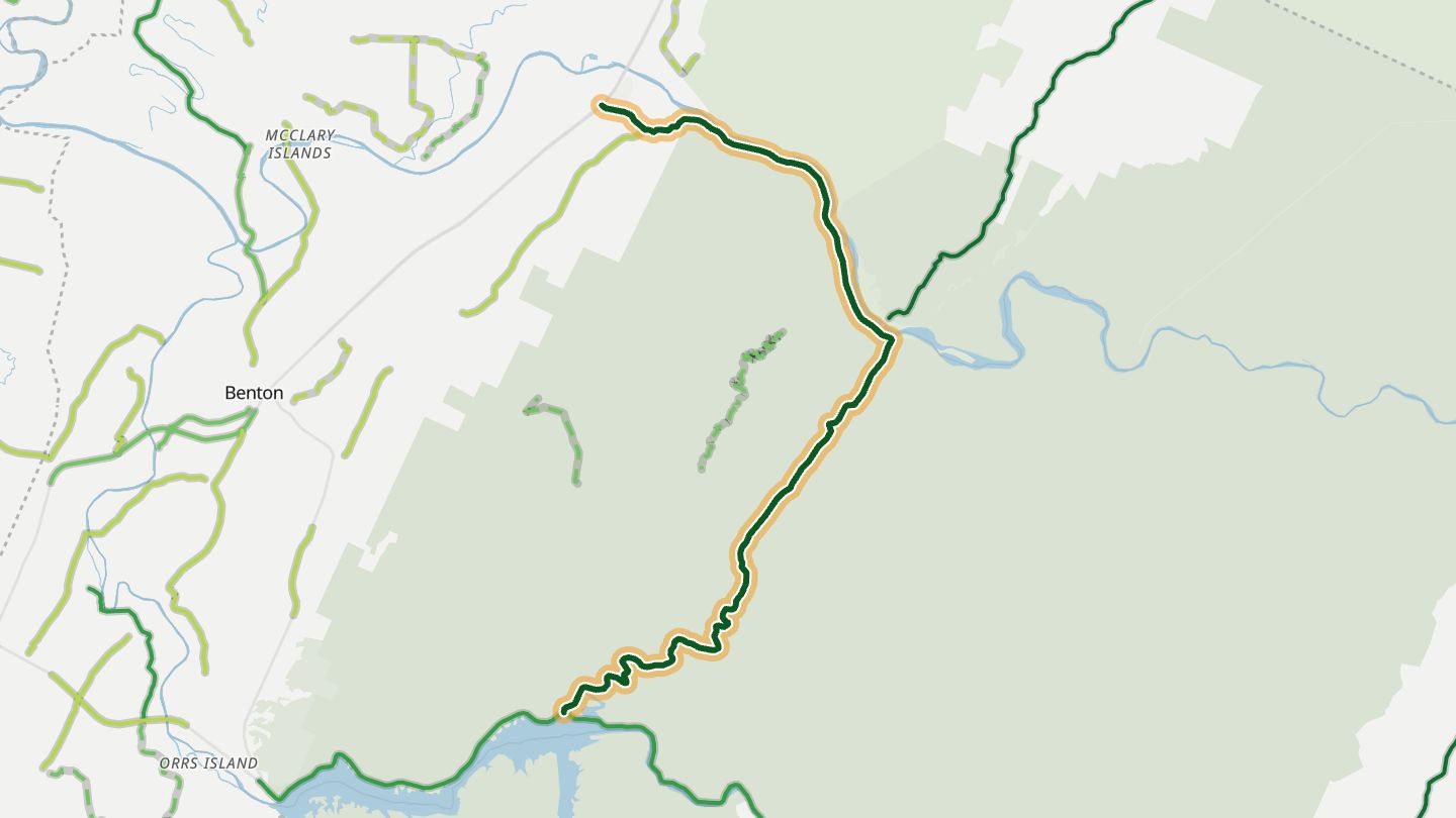
08TN 30
TN-30 from Reliance toward Parksville Lake and the Ocoee area, Polk County (Backroads of Ocoee).
Tight sweepers and switchbacks follow Greasy Creek and the Hiwassee River, much of it under a canopy of trees in the Cherokee National Forest.
14.7 miles · 1,450 ft of climbing · near Reliance
Open in WendRecommended by motorcycleroads.com
-
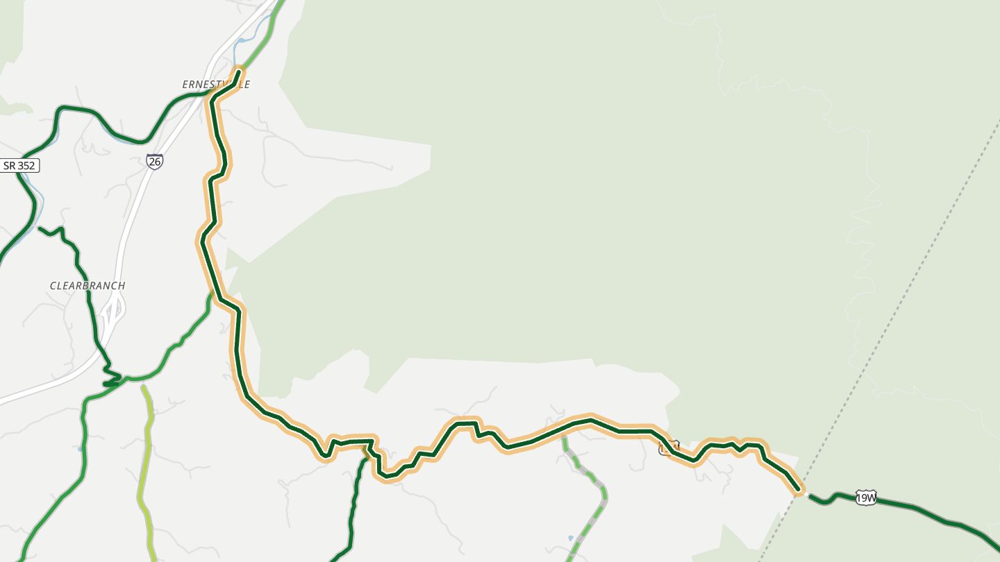
09Spivey Mountain Road
Spivey Mountain Road from US 19W in Erwin, Unicoi County, the Tennessee leg of the Spivey Loop.
The Tennessee leg of the Spivey Loop out of Erwin, with mountain views, twisties and sweepers, and a link toward the Nolichucky River and Rock Creek on the wider loop.
6.4 miles · 2,150 ft of climbing · near Erwin
Open in WendRecommended by motorcycleroads.com
-
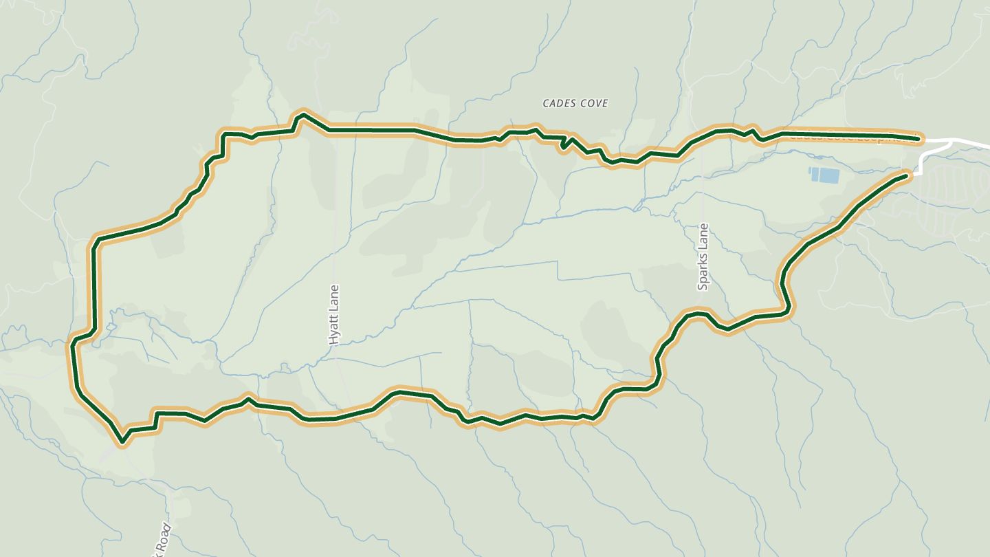
10Cades Cove Loop Road
Cades Cove Loop Road, Great Smoky Mountains National Park, Blount County.
An 11-mile loop around a mountain-ringed valley, passing log houses, barns, three churches and a working gristmill, with trails and wildlife viewing along the way.
10.0 miles · 1,350 ft of climbing · near Townsend
Good to know One-way, sunrise to sunset; closed to vehicles on Wednesdays, typically May to September.
Open in WendRecommended by National Park Service
More regions
ArizonaAustraliaCaliforniaColoradoGeorgiaGreat BritainMissouriNew JerseyNew YorkNorth CarolinaOhioVirginiaWashingtonWisconsin