 Wend
Wend
Driving roads · Arizona
The best driving roads in Arizona
The ten roads in Arizona with the most curve and climb on Wend's map, each one also recommended by people who have driven or ridden it.
-
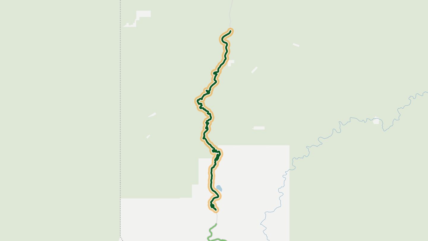
01Coronado Trail (US 191)
US 191 Coronado Trail National Scenic Byway, Morenci to Alpine.
Climbs from copper-mining country at Clifton past an overlook of the Morenci open-pit mine to over 9,000 feet. Tight and sweeping curves, pink rock and dark green forest keep changing.
22.1 miles · 5,450 ft of climbing · near Morenci
Open in WendRecommended by Rider Magazine
-
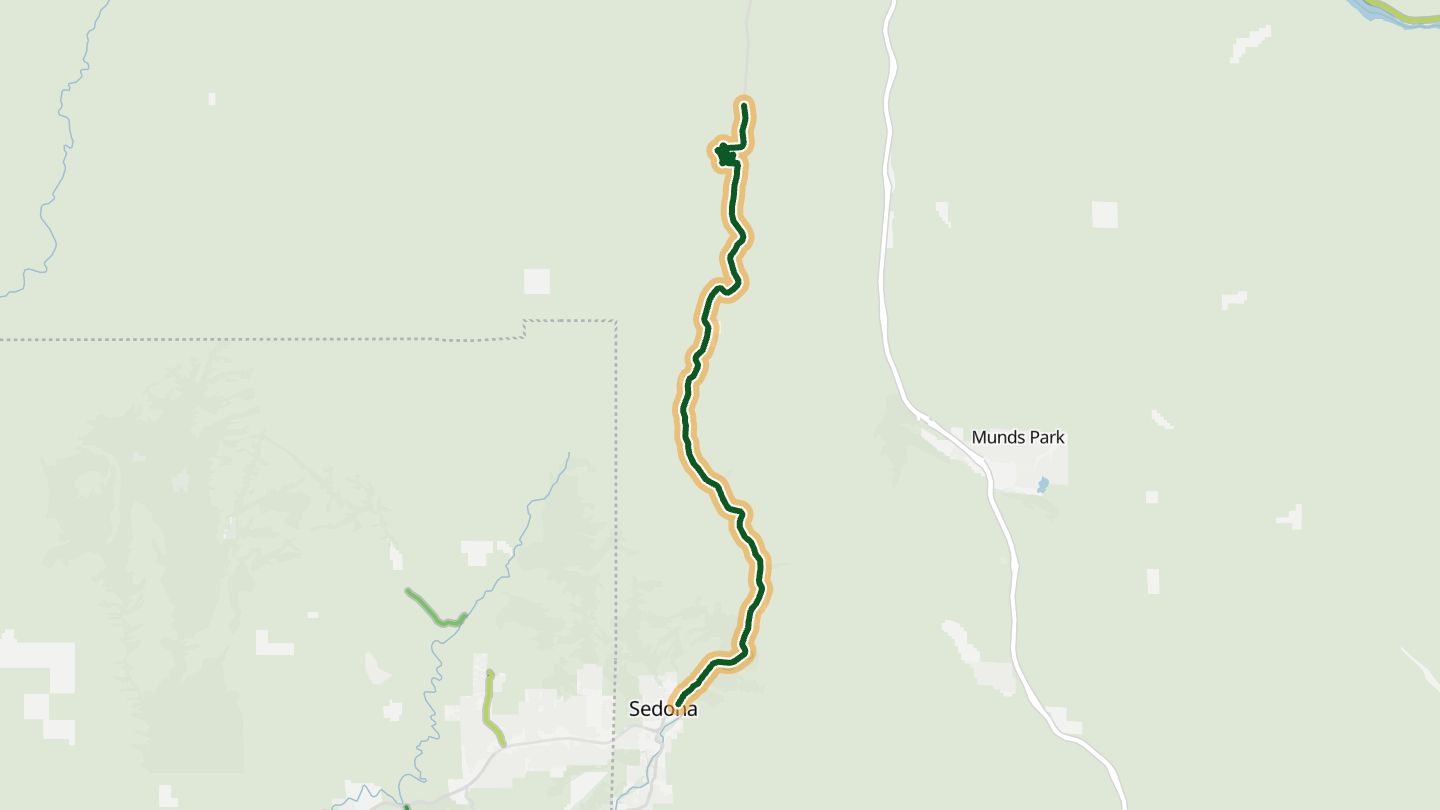
02Oak Creek Canyon Scenic Drive
AZ 89A Oak Creek Canyon Scenic Drive between Sedona and Flagstaff, with the switchbacks up the canyon wall.
Red rock walls give way to a narrow, forested canyon beside Oak Creek, then hairpins climb about 2,200 feet to the pine country near Flagstaff, with an overlook back into the canyon.
15.8 miles · 6,550 ft of climbing · near Sedona
Open in WendRecommended by Coconino National Forest (USFS)
-
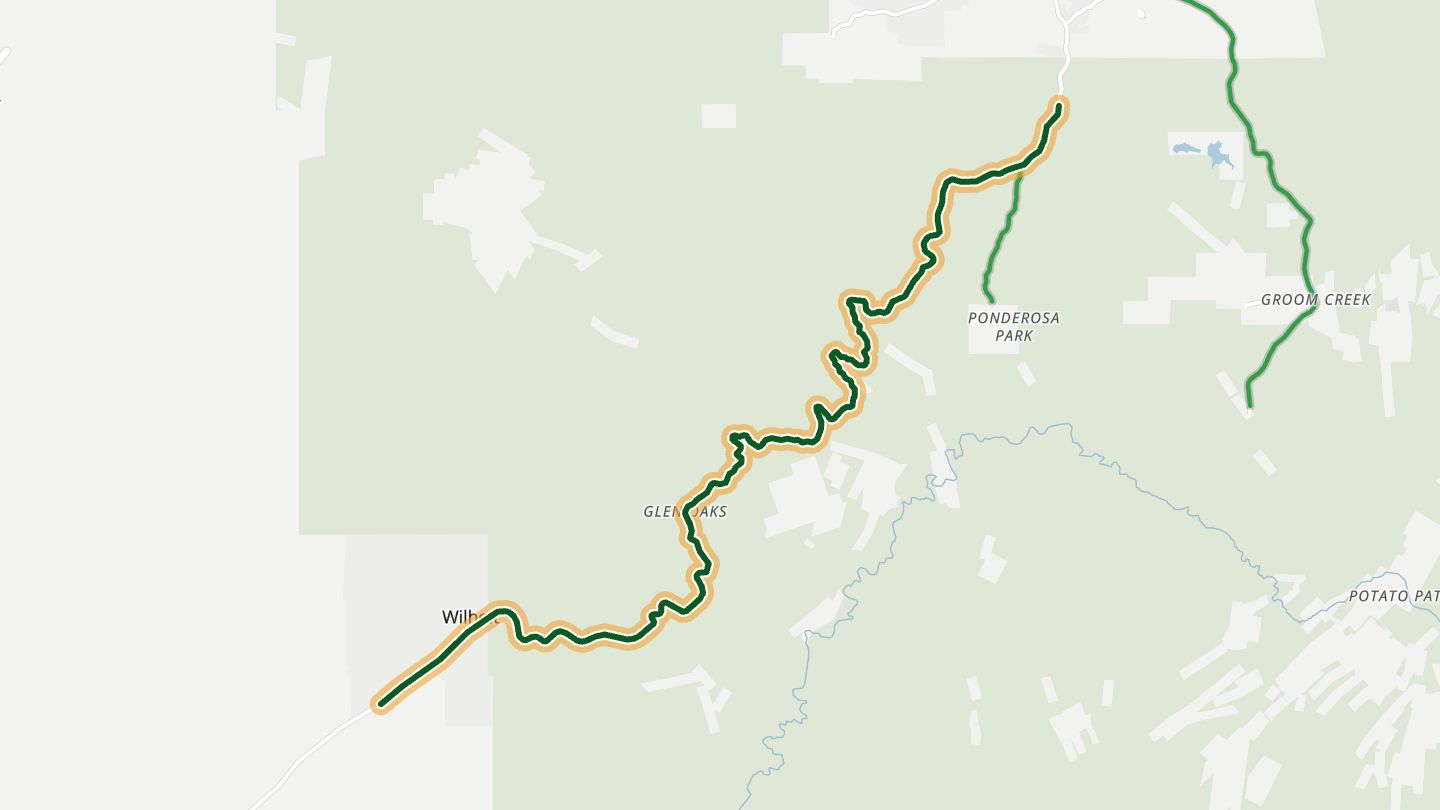
03Wickenburg-Prescott Highway
AZ 89 between Yarnell and Prescott, northern part of the Wickenburg-Prescott road.
Winding curves run from the desert at Wickenburg up through Yarnell toward Prescott, a route riders in Rider and on motorcycleroads.com describe as fantastic southwest of town.
14.5 miles · 4,000 ft of climbing · near Peeples Valley
Open in WendRecommended by motorcycleroads.com
-
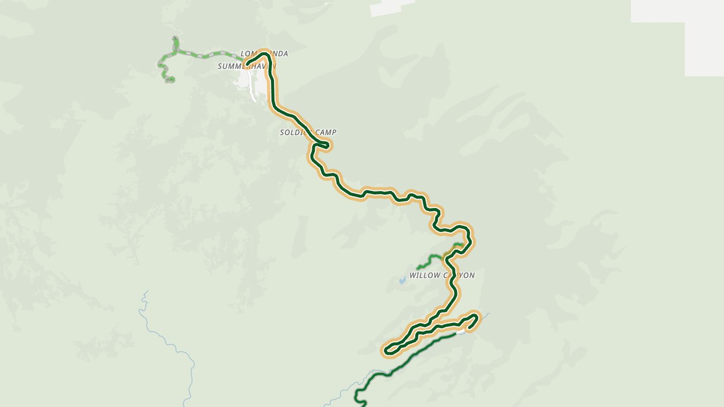
04Catalina Highway
Catalina Highway to Mount Lemmon, upper part.
A long climb on the Catalina Highway rises from saguaro desert toward Mount Lemmon in the Santa Catalina range.
13.1 miles · 4,800 ft of climbing · near Summerhaven
Open in WendRecommended by Arizona Highways
-
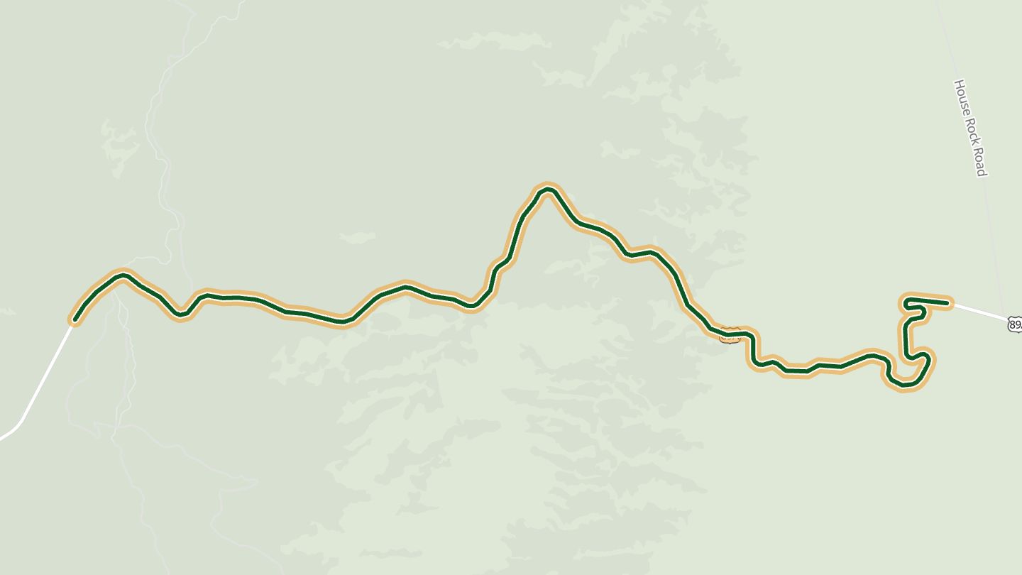
05Fredonia-Vermilion Cliffs Scenic Road (US 89A)
US 89A along the Vermilion Cliffs and House Rock Valley toward the Kaibab Plateau.
Runs along the base of the Vermilion Cliffs and across House Rock Valley, then climbs the Kaibab Plateau from grassland through piñon to tall ponderosa, with several scenic turnoffs.
11.3 miles · 5,000 ft of climbing · near Marble Canyon
Good to know Snow on the Kaibab Plateau in winter.
Open in WendRecommended by AAA Via
-
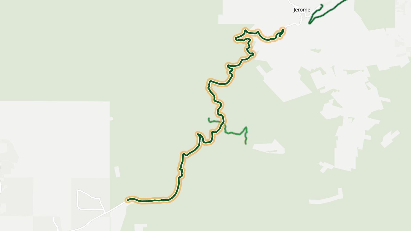
06Mingus Mountain (AZ 89A)
AZ 89A over Mingus Mountain between Cottonwood and Jerome.
A serpentine climb over Mingus Mountain to the old mining town of Jerome, with hairpins, pine forest near the top and red-rock views to the north.
10.7 miles · 4,650 ft of climbing · near Jerome
Open in WendRecommended by motorcycleroads.com
-
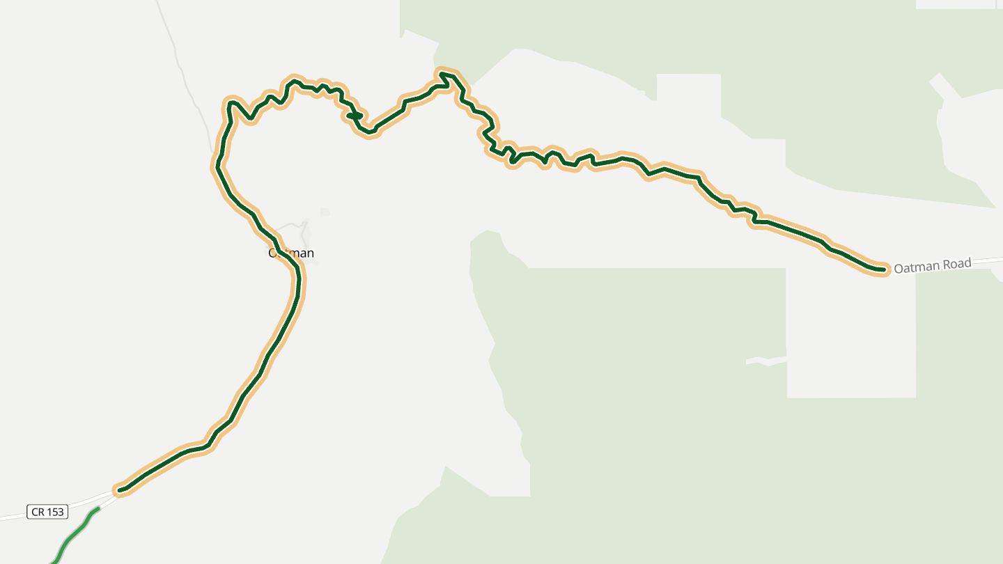
07Oatman Highway
Oatman Highway, historic Route 66 over Sitgreaves Pass between Kingman and Oatman.
A first-gear slalom of hairpins over Sitgreaves Pass, an old Route 66 alignment, ending in Oatman, where descendants of the miners' burros wander the street.
11.3 miles · 2,400 ft of climbing · near Oatman
Open in WendRecommended by Rider Magazine
-
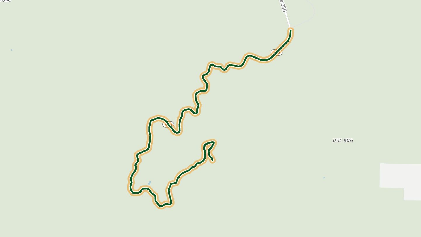
08Kitt Peak Highway (AZ 386)
Kitt Peak Highway, AZ 386, up to Kitt Peak National Observatory.
Hairpins run all the way up to the observatory on the summit, with panoramic views over the valley and desert below and pullouts on the way back down.
10.1 miles · 5,250 ft of climbing · near Sells
Good to know On Tohono O'odham Nation land; observatory closed 4 pm to 9 am.
Open in WendRecommended by motorcycleroads.com
-
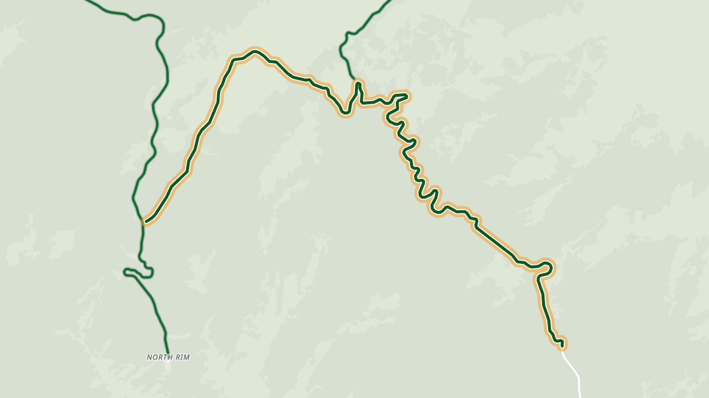
09Cape Royal Road
Cape Royal Road, Grand Canyon North Rim scenic drive.
The North Rim's scenic drive runs through forest to Point Imperial, the rim's highest point, and Cape Royal, which has a nearly 270-degree panorama taking in the Colorado River and Angels Window.
13.0 miles · 5,150 ft of climbing · near North Rim
Good to know Open about May 15 to Nov 30, weather permitting. Vehicles over 22 ft not allowed. National Park entry applies.
Open in WendRecommended by National Park Service
-
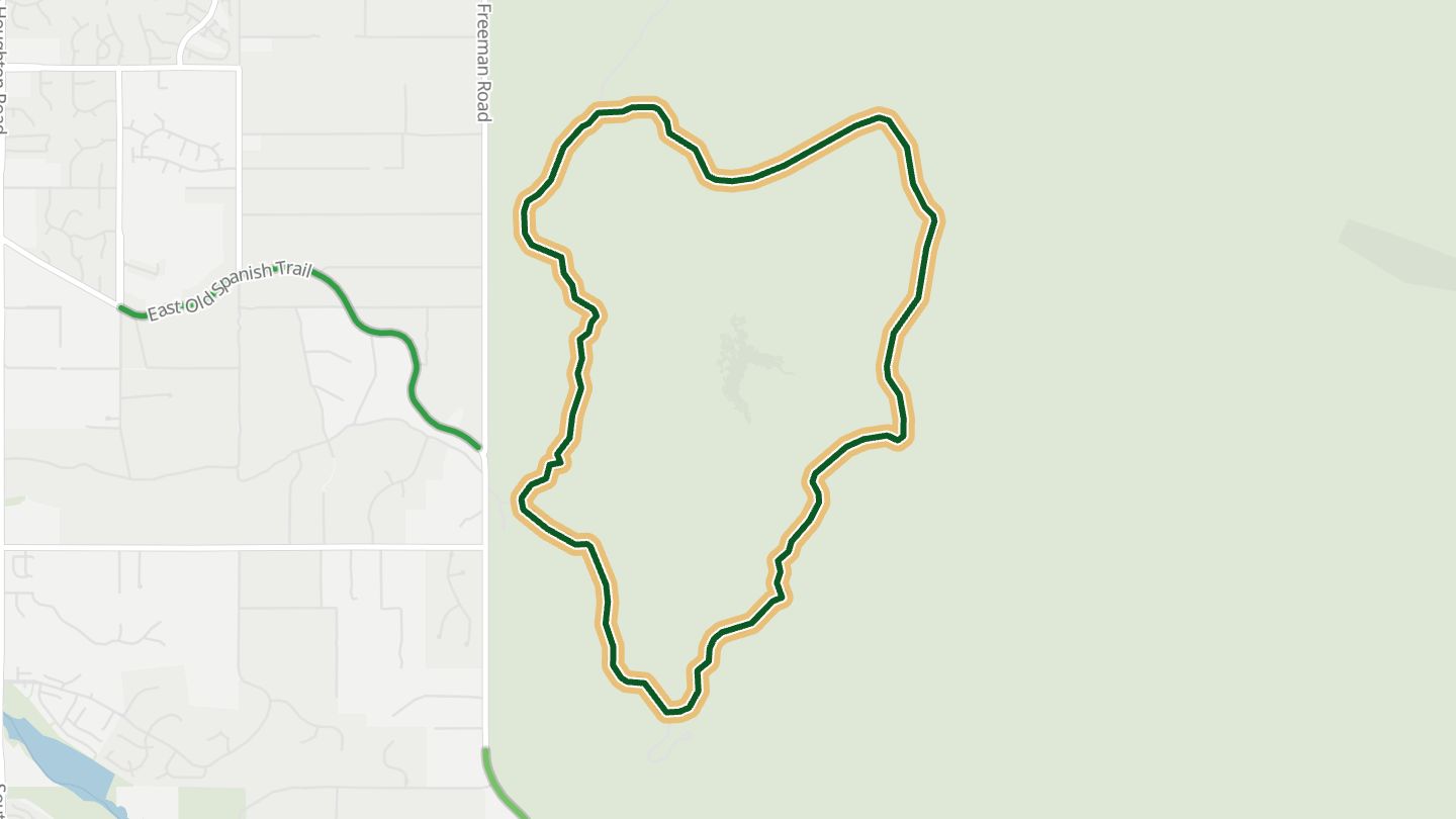
10Cactus Forest Loop Drive
Cactus Forest Loop Drive, Saguaro National Park East.
A paved loop through the saguaro forest on the east side of Saguaro National Park, with vistas and pullouts along the way.
8.0 miles · 1,950 ft of climbing · near Saguaro National Park
Good to know Park entrance fee. No RVs or large vehicles over 40 ft.
Open in WendRecommended by National Park Service
More regions
AustraliaCaliforniaColoradoGeorgiaGreat BritainMissouriNew JerseyNew YorkNorth CarolinaOhioTennesseeVirginiaWashingtonWisconsin