 Wend
Wend
Driving roads · California
The best driving roads in California
The ten roads in California with the most curve and climb on Wend's map, each one also recommended by people who have driven or ridden it.
-
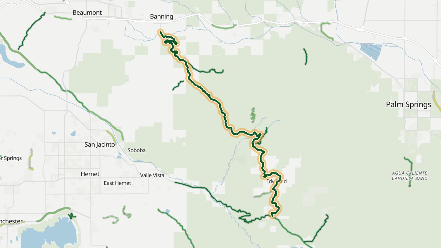
01CA 243 (Banning-Idyllwild)
CA 243 from Banning up through Pine Cove and Idyllwild in the San Jacinto Mountains, part of the Palms to Pines Scenic Byway..
The road climbs from the desert floor at Banning into the pines of the San Jacinto Mountains, with lookouts along the way and Idyllwild as a stop.
27.8 miles · 11,600 ft of climbing · near Idyllwild
Good to know Snow and ice possible in winter at elevation.
Open in WendRecommended by Bureau of Land Management
-
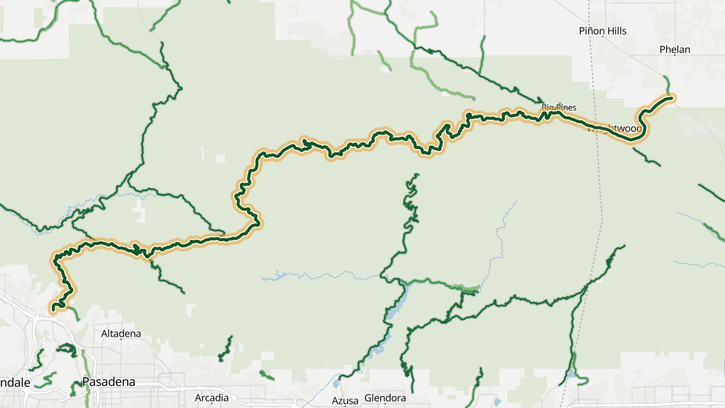
02Angeles Crest Highway
CA 2 Angeles Crest Highway through the San Gabriel Mountains from La Canada toward Wrightwood..
Switchbacks and sweeping curves climb through the San Gabriel Mountains to about 7,000 feet, with pine forest and ridgeline views just outside Los Angeles.
63.8 miles · 13,750 ft of climbing · near La Canada Flintridge
Good to know Closed Islip Saddle to Vincent Gap roughly mid-December to mid-May for snow and rockfall.
Open in WendRecommended by motorcycleroads.com
-
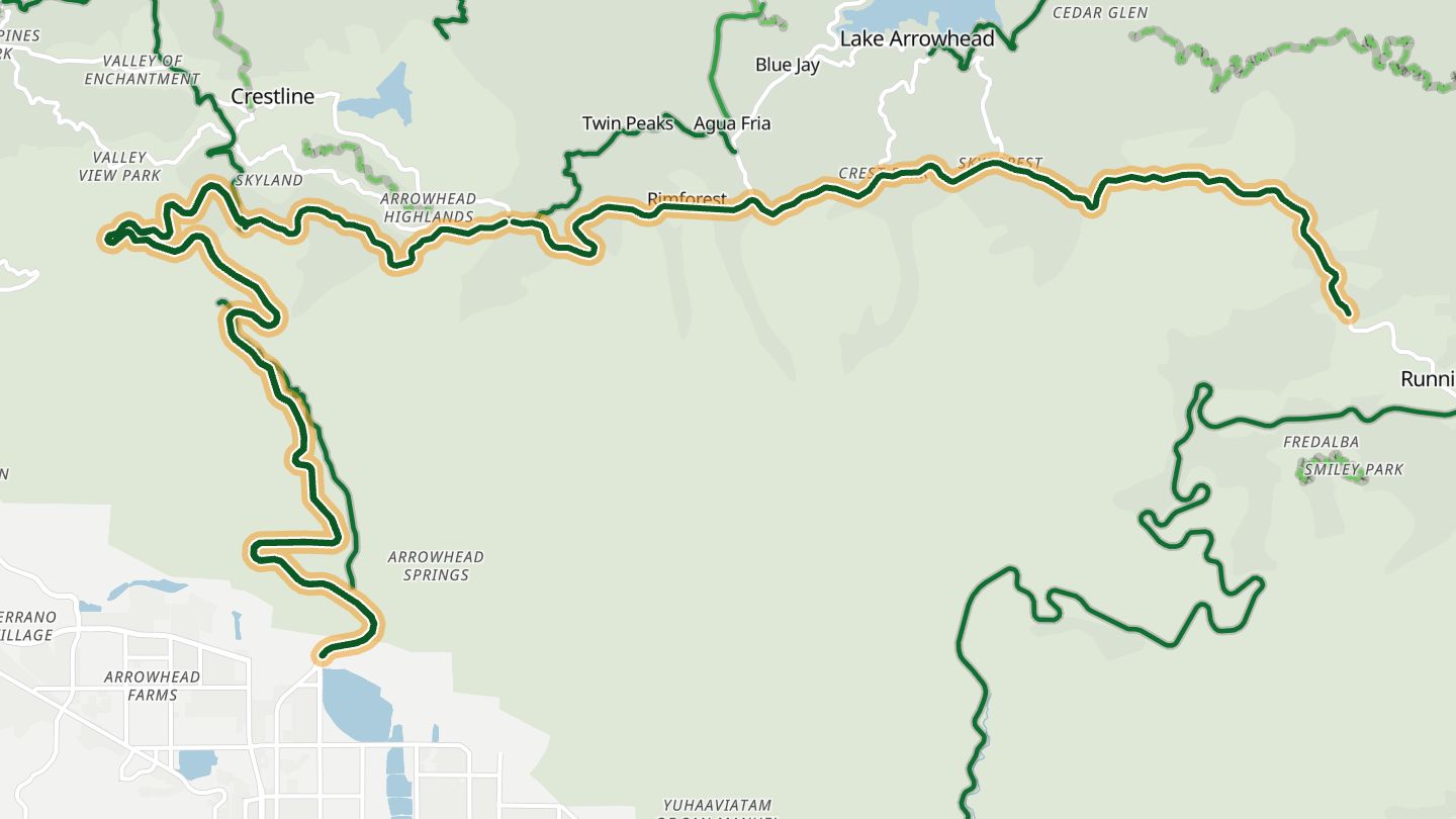
03Rim of the World Highway
CA 18 Rim of the World Highway, Crestline toward Running Springs and Big Bear, part of the Rim of the World Scenic Byway..
The route follows the spine of the San Bernardino Mountains, with turnouts such as Red Rock Scenic Overlook. Tight forest hairpins give way to big sweepers, with views down to the desert valleys and Silverwood Lake.
30.6 miles · 14,100 ft of climbing · near Crestline
Good to know Most of the byway is above 5,000 ft; snow and ice common in winter and early spring.
Open in WendRecommended by Rider Magazine
-
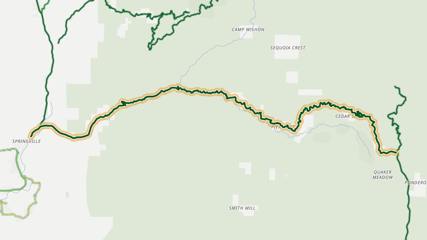
04Western Divide Highway (CA 190), Camp Nelson
CA 190 Western Divide Highway around Camp Nelson toward Johnsondale, Sequoia National Forest..
The road drops about 7,000 feet toward the valley floor through constant switchbacks. Near Camp Nelson it runs among huge old trees of the Sequoia National Forest, with scenic overlooks on the descent.
24.1 miles · 4,700 ft of climbing · near Camp Nelson
Good to know Closed in winter. Limited fuel; fill up in Kernville first.
Open in WendRecommended by motorcycleroads.com
-
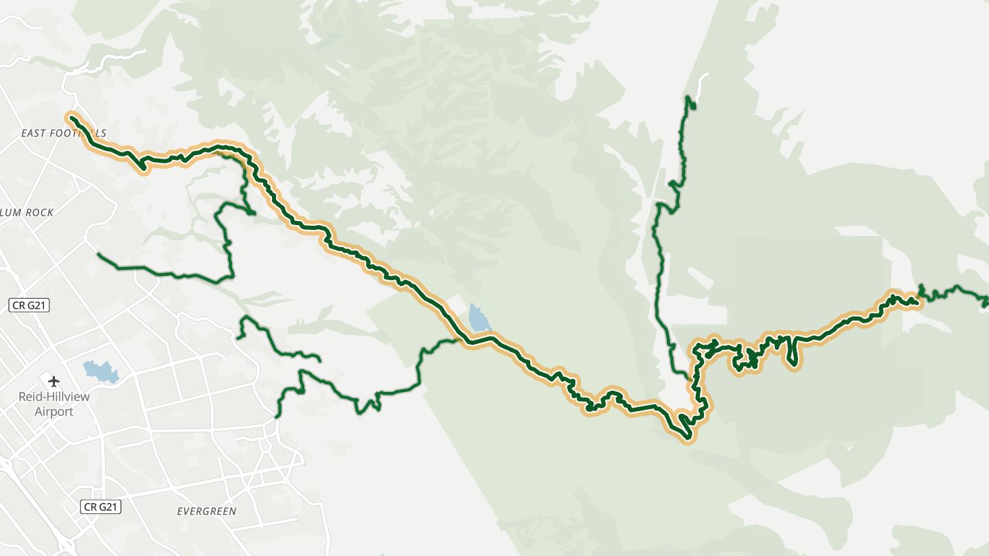
05Mount Hamilton Road (CA 130)
CA 130 Mount Hamilton Road from San Jose up to Lick Observatory..
A climb of about 365 turns over 19 miles runs from San Jose up to Lick Observatory at 4,209 feet. On clear days the summit views reach the Sierra Nevada, and spring brings wildflowers.
20.3 miles · 3,350 ft of climbing · near San Jose
Open in WendRecommended by Sunset
-
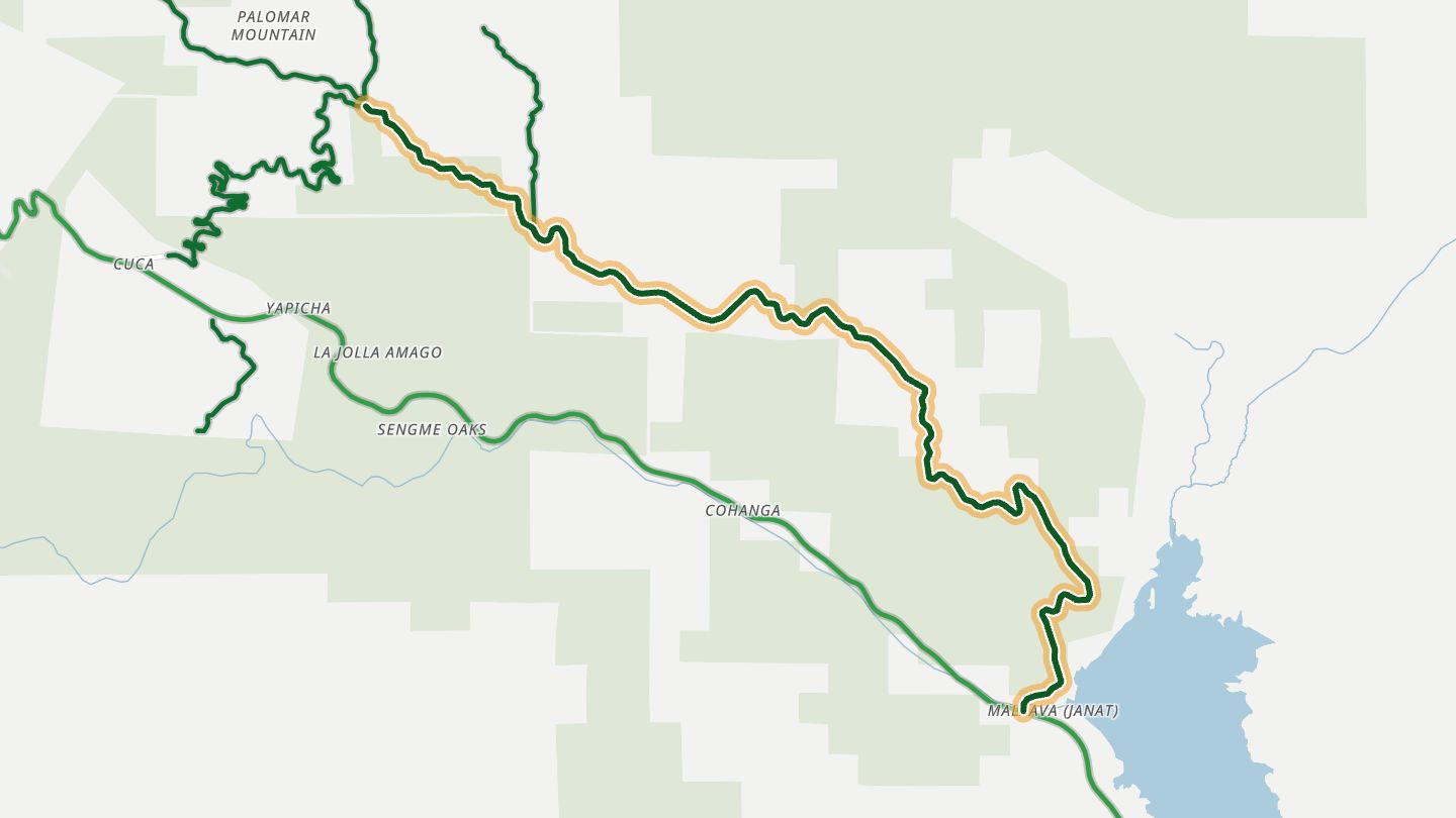
06East Grade Road
East Grade Road up Palomar Mountain from Lake Henshaw toward Palomar Observatory..
A long climb from Lake Henshaw to Palomar Mountain on steady, sweeping curves, with wide views of the San Luis Rey valley and the observatory dome at the top.
11.3 miles · 4,400 ft of climbing · near Palomar Mountain
Good to know Observatory gate closes mid-afternoon; ice possible in early spring.
Open in WendRecommended by Pashnit Motorcycle Routes
-
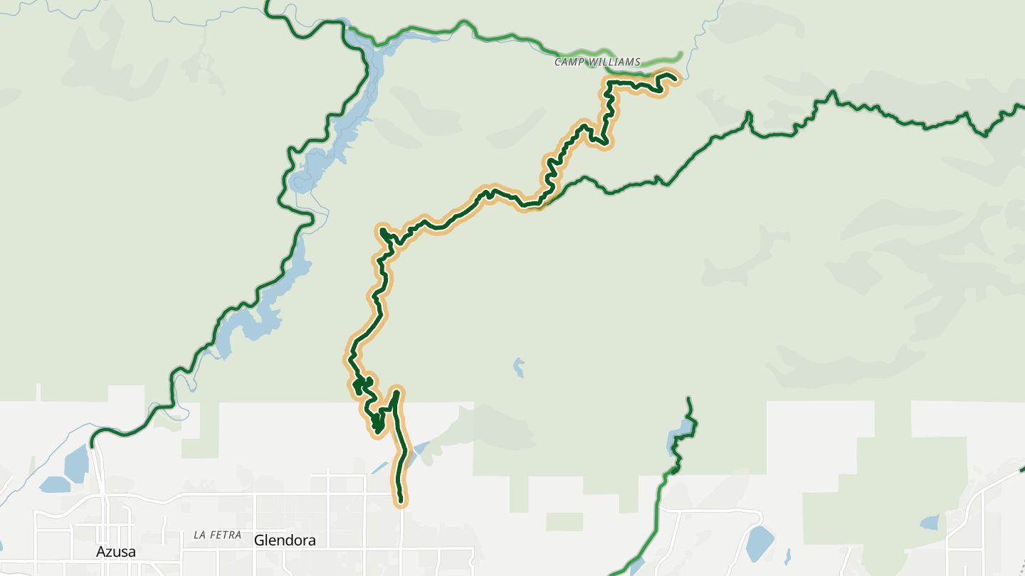
07Glendora Mountain Road
Glendora Mountain Road and Glendora Ridge Road from Glendora up to Mt. Baldy Village in the Angeles National Forest..
A twisty climb from Glendora into the Angeles National Forest, with canyon views, snow-capped peaks in season and a country store and restaurants at Mt. Baldy Village.
14.7 miles · 3,700 ft of climbing · near Glendora
Open in WendRecommended by motorcycleroads.com
-
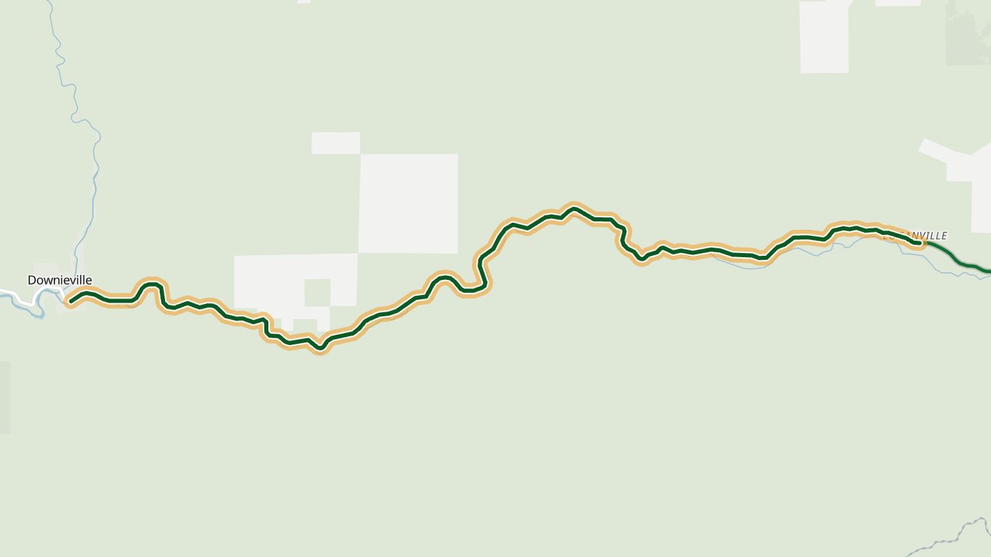
08CA 49 (Sierra City to Downieville)
CA 49 between Sierra City and Downieville along the North Yuba River..
Twenty miles of curves follow the North Yuba River down to Downieville, a Gold Rush town in the quiet northern Sierra with a Sierra Buttes viewpoint on the way.
10.5 miles · 3,650 ft of climbing · near Downieville
Open in WendRecommended by Rider Magazine
-
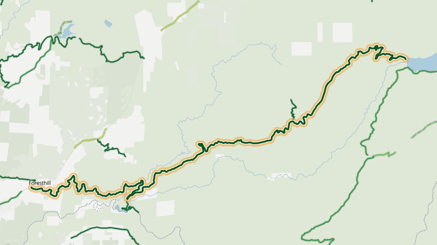
09Mosquito Ridge Road
Mosquito Ridge Road from Foresthill along the ridge toward French Meadows Reservoir..
A wide road built to haul turbine parts for a hydro project, it twists along a ridge above deep Sierra canyons for about 30 miles. It ends at French Meadows Reservoir, with views across the range.
34.4 miles · 8,500 ft of climbing · near Foresthill
Good to know Dead end at French Meadows; no services; snow can close upper sections.
Open in WendRecommended by motorcycleroads.com
-
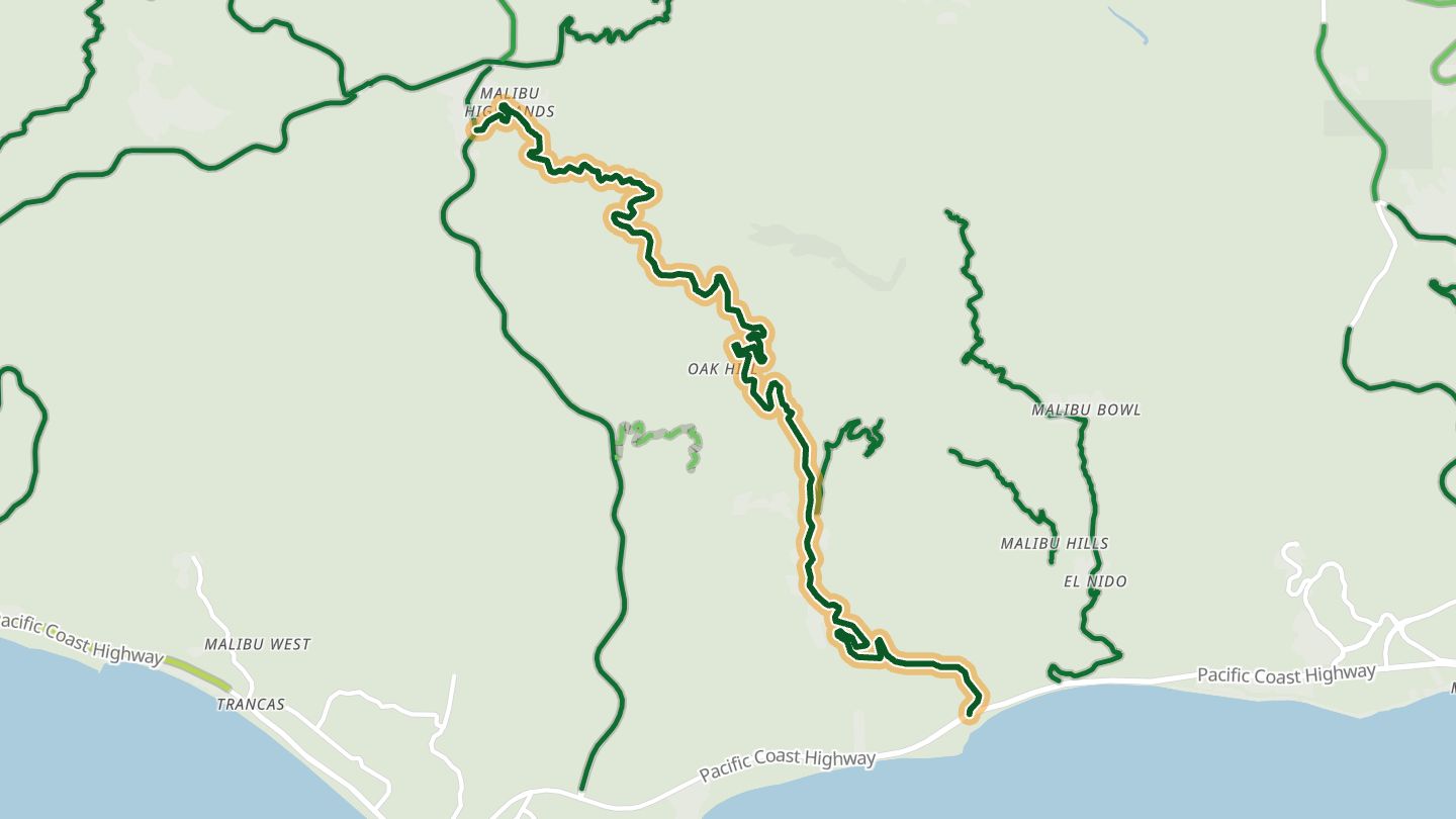
10Latigo Canyon Road
Latigo Canyon Road from Mulholland-Kanan country down to Pacific Coast Highway in Malibu..
A twisting canyon road with technical sections that runs from the Santa Monica Mountains to the Pacific, with a coastal turnout not far from the highway.
10.2 miles · 1,900 ft of climbing · near Malibu
Open in WendRecommended by The Drive
More regions
ArizonaAustraliaColoradoGeorgiaGreat BritainMissouriNew JerseyNew YorkNorth CarolinaOhioTennesseeVirginiaWashingtonWisconsin