 Wend
Wend
Driving roads · Ohio
The best driving roads in Ohio
The ten roads in Ohio with the most curve and climb on Wend's map, each one also recommended by people who have driven or ridden it.
-
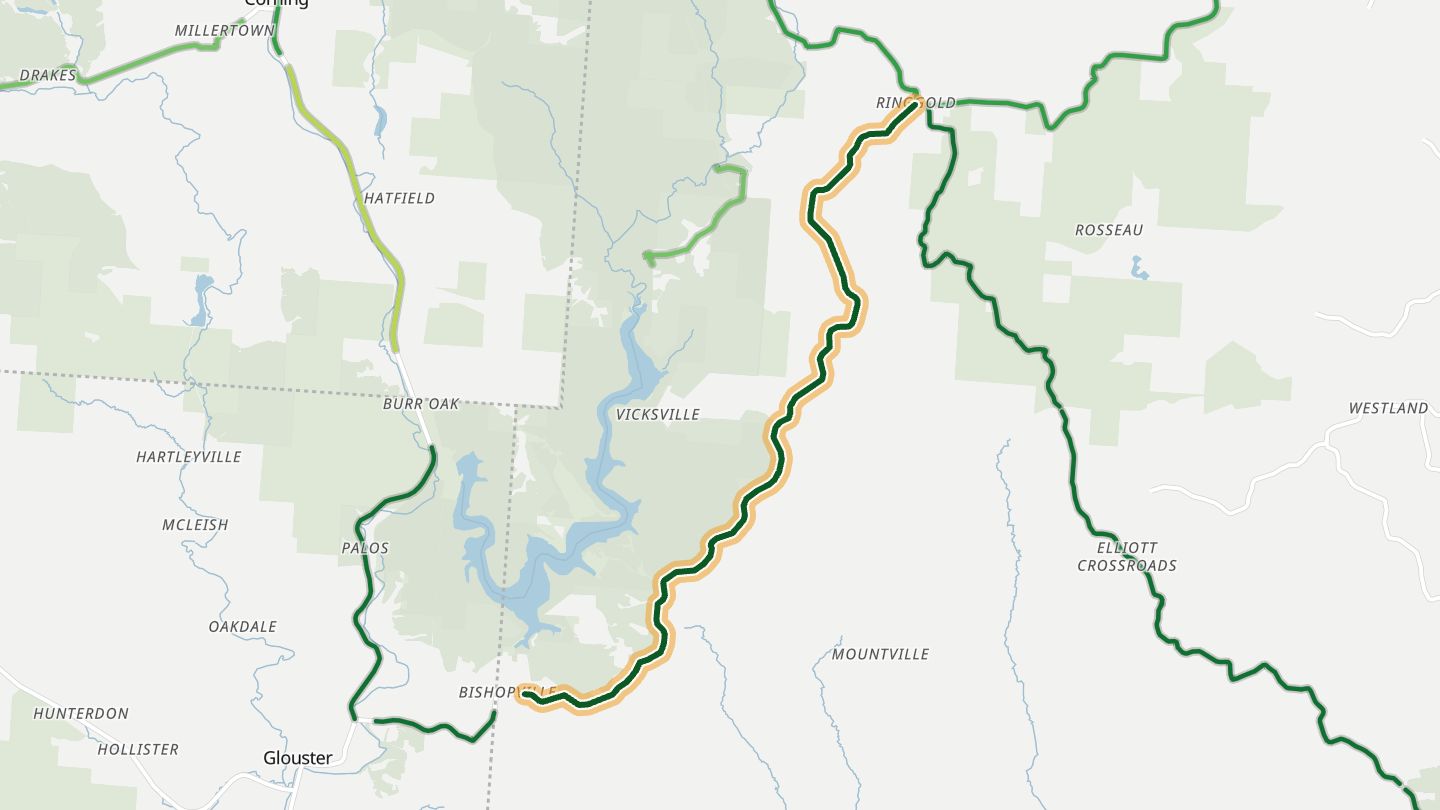
01SR 78 (Rim of the World)
Ohio SR 78 between Glouster and McConnelsville along Burr Oak State Park, Morgan County (the Rim of the World stretch).
Tight twisties with constant climbing and dropping along the ridgeline south of Burr Oak State Park, then faster sweepers toward McConnelsville. Riders call it southern Ohio at its finest.
8.2 miles · 850 ft of climbing · near Glouster
Open in WendRecommended by motorcycleroads.com
-
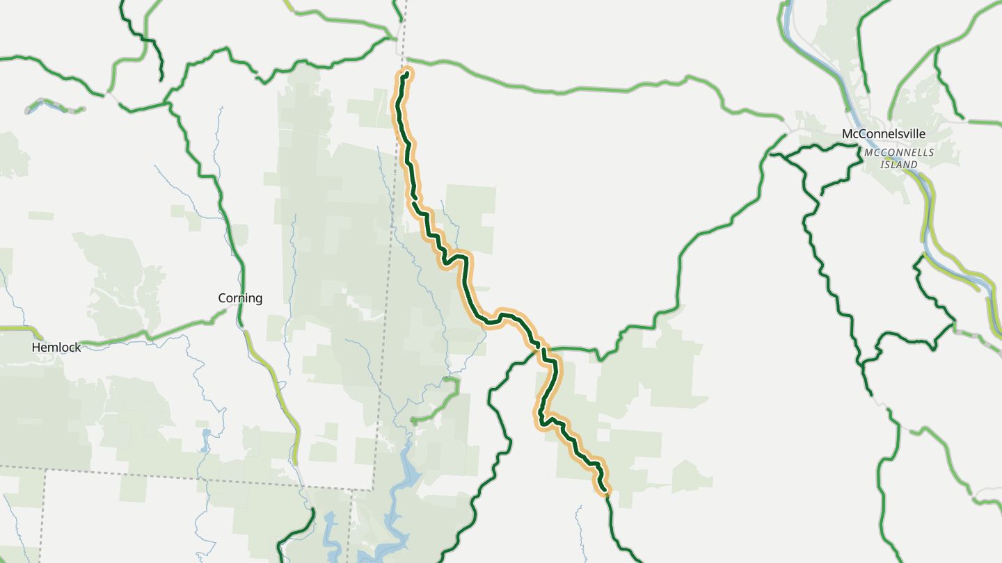
02SR 555 (Triple Nickel)
Ohio SR 555, the Triple Nickel, Morgan County between Chesterhill and Ringgold.
Nicknamed the Triple Nickel, it follows the crests of rolling hills past isolated farms. Riders describe it as an amusement park for sport bikes, with challenging corners and almost no traffic.
11.5 miles · 2,200 ft of climbing · near Chesterhill
Open in WendRecommended by motorcycleroads.com
-
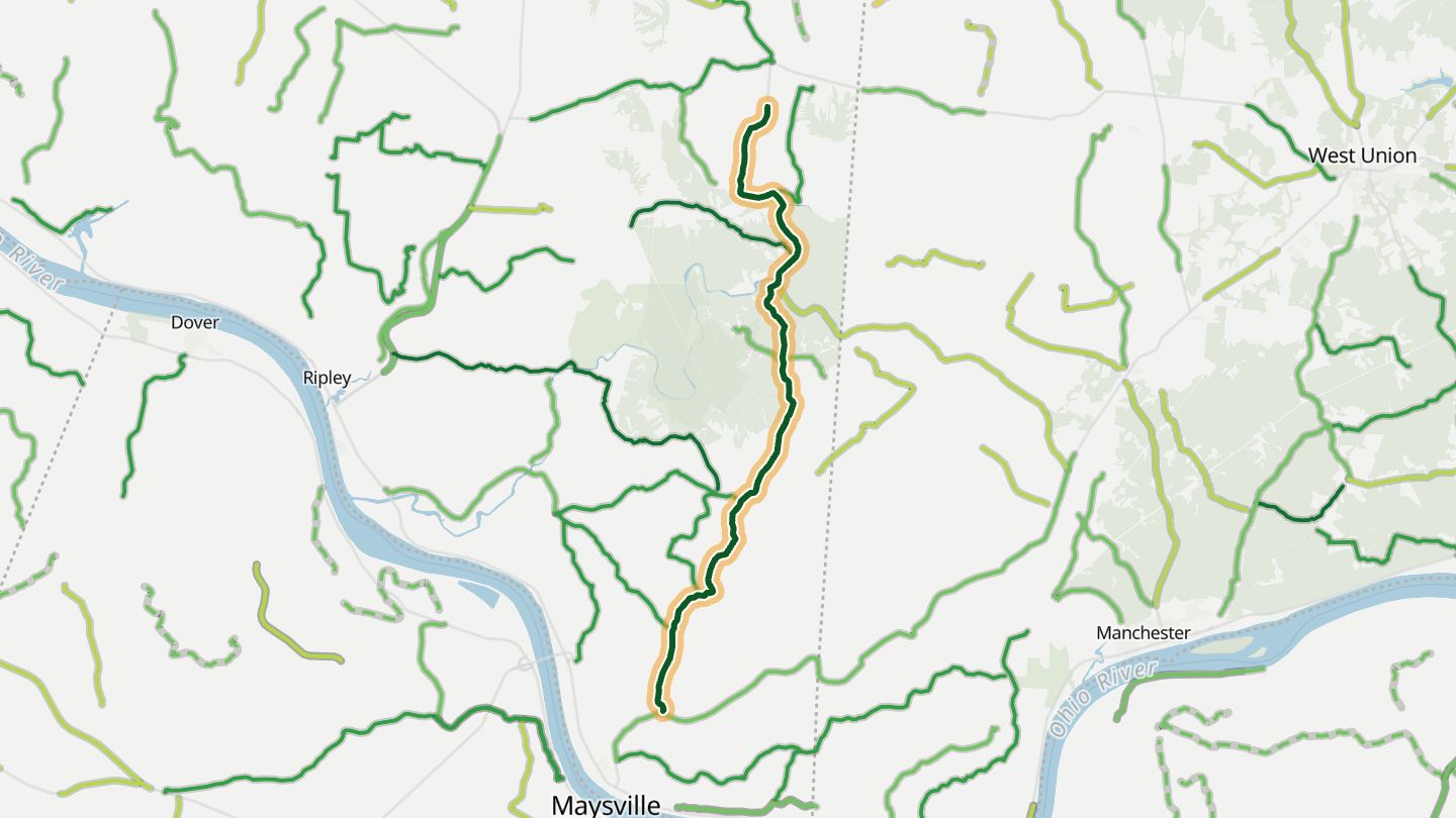
03SR 763
Ohio SR 763 from SR 41 near Aberdeen north toward SR 125, Brown County.
Tight blind turns up and down hills, tree tunnels, tobacco and soy farms, and stretches alongside creeks and cliff edges make a roller-coaster 13 miles in Brown County.
11.8 miles · 1,000 ft of climbing · near Aberdeen
Open in WendRecommended by motorcycleroads.com
-
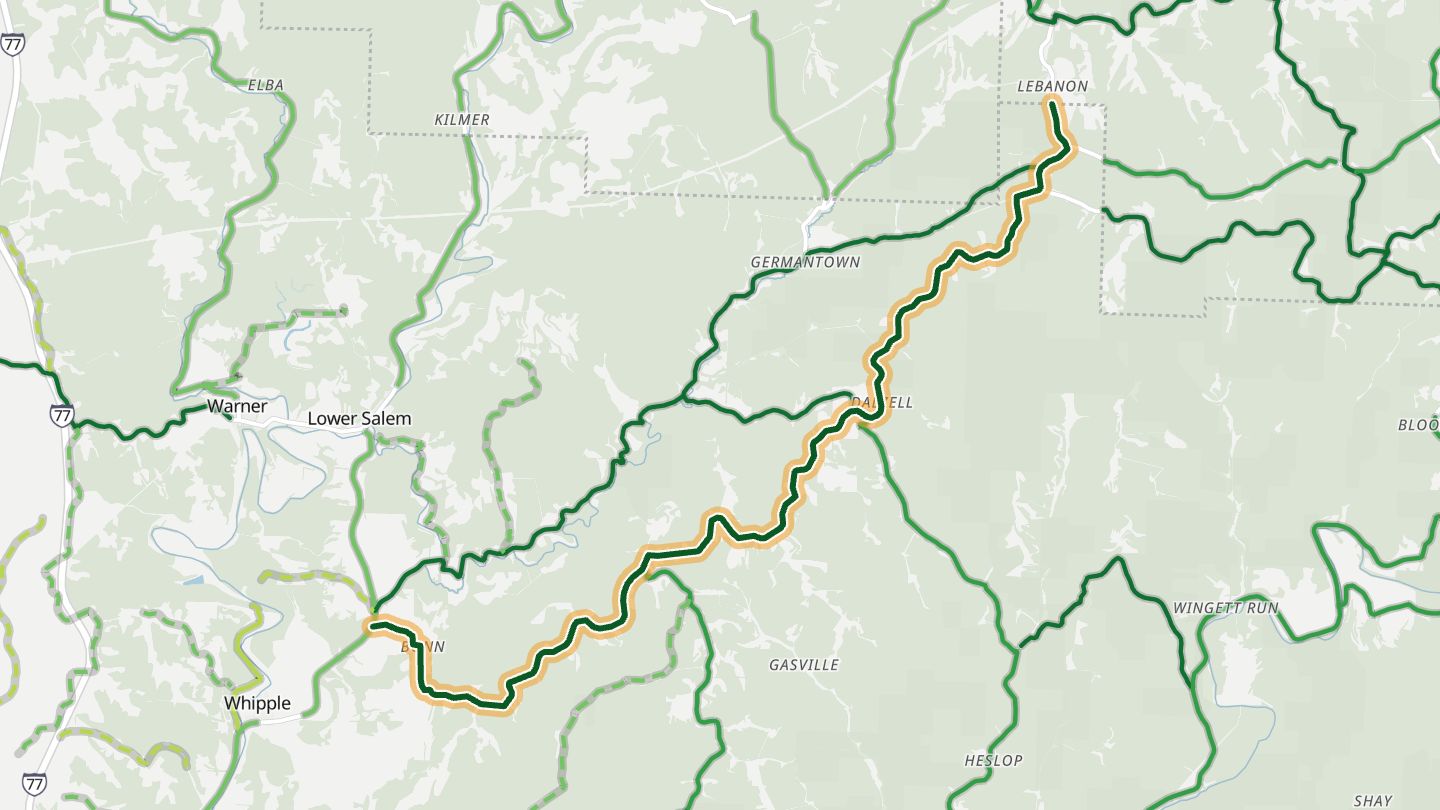
04Dalzell Road
Dalzell Road (CR 11) from Whipple toward SR 556, Washington County.
Beyond Whipple the road winds through forested hills and small towns with constant elevation change, and riders say its pavement is cleaner than similar regional roads.
11.9 miles · 1,150 ft of climbing · near Whipple
Open in WendRecommended by motorcycleroads.com
-
05SR 556
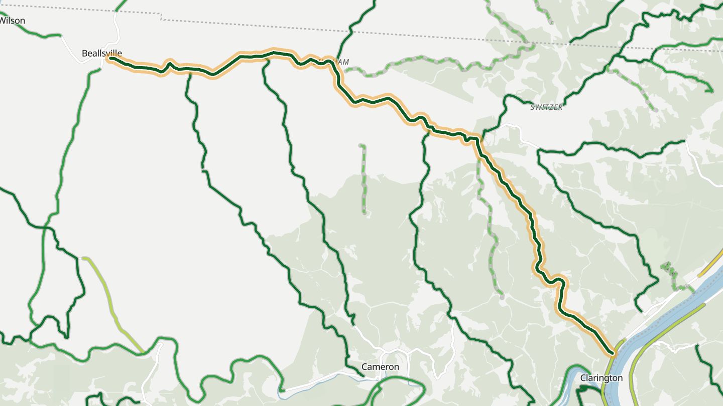
Ohio SR 556 from the Ohio River hills near Powhatan Point and Beallsville, Monroe County.
Sweeping turns run through scenic Monroe County hill country toward Clarington on the Ohio River, and the county's own motorcycle route guide includes it.
12.9 miles · 1,250 ft of climbing · near Beallsville
Open in WendRecommended by Monroe County Tourism
-
06State Route 255
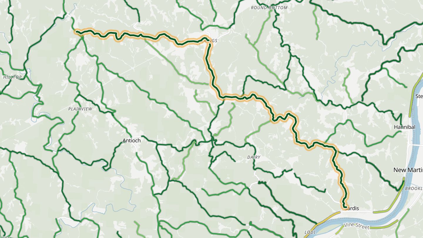
Ohio SR 255 through the Ohio River hills of Monroe County from Paden City, WV side toward Woodsfield.
A run of continuous curves through forested hills in the Ohio River country of Monroe County, picked out by Rider as one of the standout stretches of its southeast Ohio tour.
17.6 miles · 2,250 ft of climbing · near Paden City
Open in WendRecommended by Rider Magazine
-
07SR 536
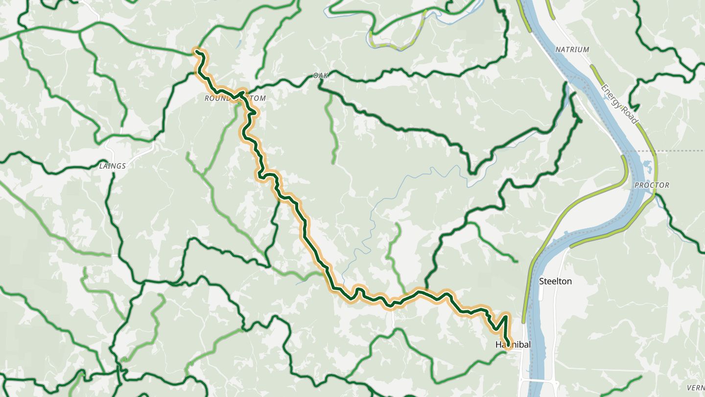
Ohio SR 536 from the Ohio River bridge at Hannibal up into the hills toward SR 78, Monroe County.
Curves come without a break as the road climbs from the Ohio River at Hannibal into the hills, with elevation changes and a nearby overlook at Kiedaisch Point Park.
11.6 miles · 2,200 ft of climbing · near Hannibal
Open in WendRecommended by Rider Magazine
-
08SR 260
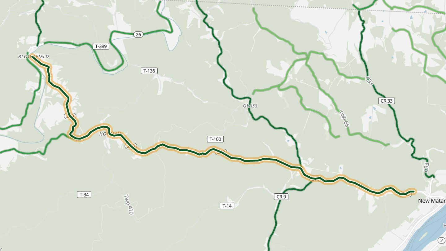
Ohio SR 260 through Quarry and New Matamoras, Washington County.
Curves and steady elevation changes carry the road through Quarry and New Matamoras in the hills of Washington County, a highlight of Rider's loop out of Marietta.
9.1 miles · 1,100 ft of climbing · near New Matamoras
Open in WendRecommended by Rider Magazine
-
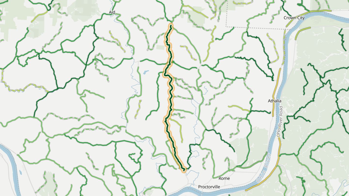
09Greasy Ridge Road
Greasy Ridge Road (County Road 2), Windsor Township, Lawrence County.
Rolling hills, tidy farms and horses, and hairpin curves above the Ohio River in Lawrence County, with the best colors in autumn. The local paper calls it a nice road for a drive.
10.9 miles · 850 ft of climbing · near Ironton
Open in WendRecommended by The Ironton Tribune
-
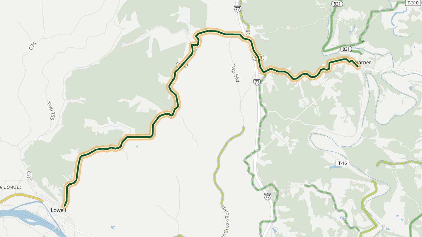
10SR 530
Ohio SR 530 near Lowell and Devola, Washington County.
The last dose of twisties in Rider's southeast Ohio tour, with curves leading down toward Lowell after a day of hill roads.
7.5 miles · 850 ft of climbing · near Lowell
Open in WendRecommended by Rider Magazine
More regions
ArizonaAustraliaCaliforniaColoradoGeorgiaGreat BritainMissouriNew JerseyNew YorkNorth CarolinaTennesseeVirginiaWashingtonWisconsin