 Wend
Wend
Driving roads · Great Britain
The best driving roads in Great Britain
The ten roads in Great Britain with the most curve and climb on Wend's map, each one also recommended by people who have driven or ridden it.
-
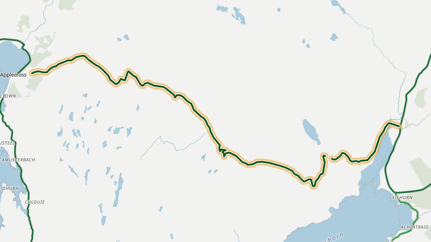
01Bealach na Bà (Applecross pass)
Bealach na Bà, the pass road from Tornapress (Loch Kishorn) over to Applecross, Wester Ross.
Alpine-style hairpins climb from Loch Kishorn to a 626 m summit, one of the steepest road ascents in Britain, before the road drops to Applecross with views across to Skye.
10.6 miles · 2,350 ft of climbing · near Applecross
Good to know Single-track with passing places; not advised for caravans, large vehicles or learner drivers; can close in winter snow and ice.
Open in WendRecommended by Driven
-
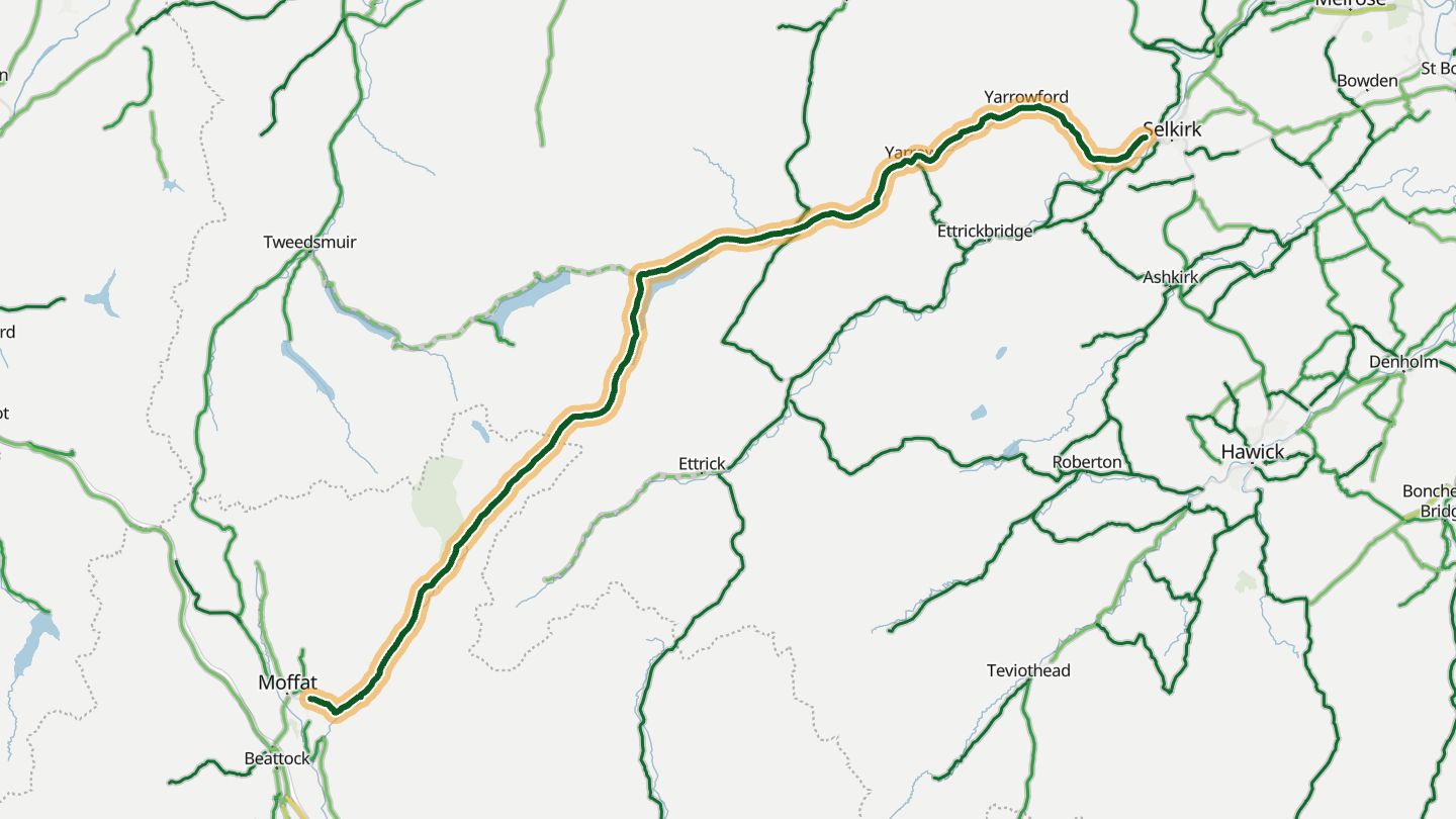
02A708 Moffat–Selkirk (St Mary's Loch)
A708 from Moffat past the Loch of the Lowes and St Mary's Loch to Selkirk.
Narrow and crested like a rollercoaster out of Moffat, then opening into fast sweeping bends beside the Loch of the Lowes and St Mary's Loch on the way to Selkirk. The AA once ranked it among Britain's most scenic routes.
32.7 miles · 2,800 ft of climbing · near Moffat
Open in WendRecommended by Motorcycle Scotland
-
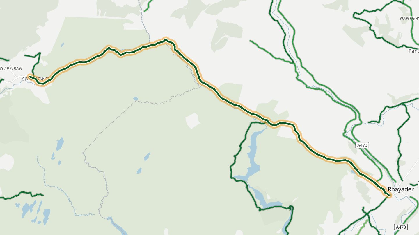
03Elan Valley mountain road (Rhayader–Cwmystwyth)
Cambrian Mountains road from Rhayader past the Elan Valley towards Cwmystwyth and Devil's Bridge.
From Rhayader the mountain road passes the Elan Valley's reservoirs and dams, crosses the empty Cambrian Mountains watershed under circling red kites and drops past the old Cwmystwyth mine workings. The AA once ranked it among the world's ten best scenic drives.
14.1 miles · 2,000 ft of climbing · near Rhayader
Good to know Single-track with passing places on the descent to Cwmystwyth.
Open in WendRecommended by Visit Mid Wales
-
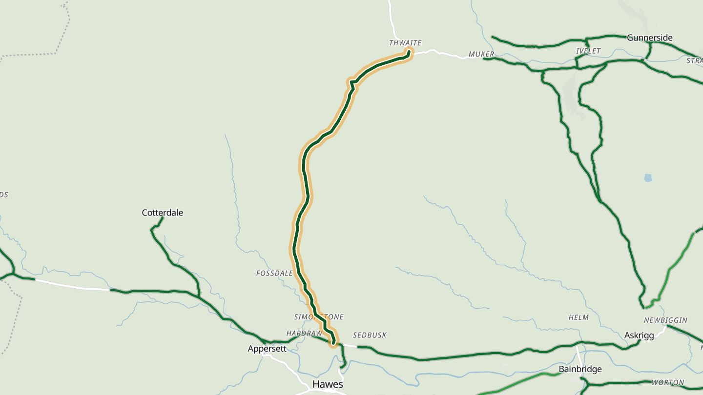
04Buttertubs Pass (Hawes–Thwaite)
Buttertubs Pass, from Simonstone near Hawes over to Thwaite (Wensleydale to Swaledale).
A steep climb out of Wensleydale gives way to a rollercoaster of crests and corners over to Swaledale, past the deep limestone potholes that give the pass its name. Jeremy Clarkson counts it among his all-time favourite roads, and the 2014 Tour de France raced over it.
5.5 miles · 1,300 ft of climbing · near Hawes
Good to know Can close in winter snow.
Open in WendRecommended by Hagerty UK
-
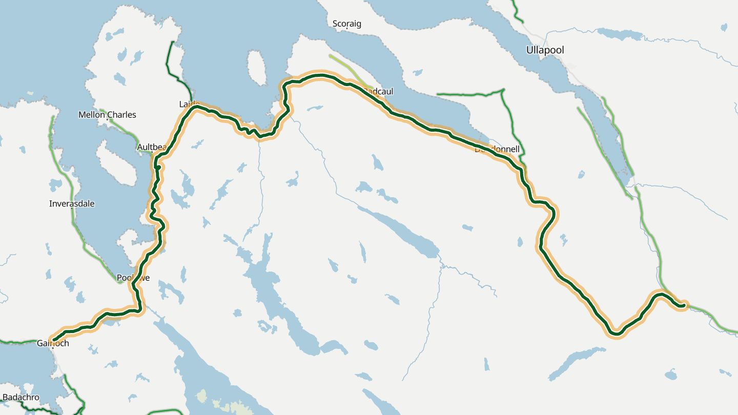
05A832 Gairloch–Ullapool
A832 from Gairloch past Gruinard Bay and Dundonnell towards Ullapool, Wester Ross.
Crosses the Highlands from Loch Maree to the west coast at Gairloch, then runs north past Gruinard Bay and its pink sand to Ullapool. Described as one of the most scenic roads in Britain.
42.9 miles · 4,250 ft of climbing · near Gairloch
Open in WendRecommended by Motorcycle Scotland
-
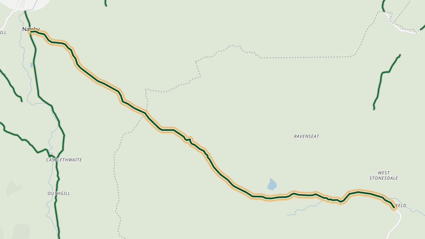
06B6270 Kirkby Stephen–Keld (Lamps Moss)
B6270 from Nateby (Kirkby Stephen) over Lamps Moss and Birkdale Common to Keld, head of Swaledale.
Steep climbs and hairpins alternate with long straights and deep dips as it crosses Lamps Moss from the head of Swaledale down to Nateby, and the road stays quiet.
8.9 miles · 1,200 ft of climbing · near Kirkby Stephen
Open in WendRecommended by Leeds-List
-
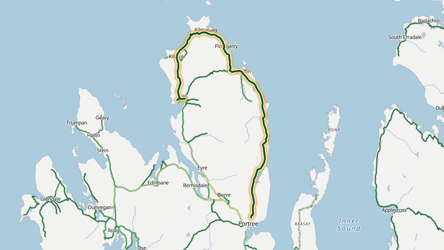
07A855 Trotternish loop
A855 round the Trotternish peninsula, Portree to Staffin and Uig, including the Quiraing.
Crosses the Quiraing on the Trotternish ridge, with a steep descent, tight switchbacks and views out towards Staffin Bay.
31.8 miles · 2,550 ft of climbing · near Staffin
Good to know Single-track with passing places in places.
Open in WendRecommended by Detour Road Trips
-
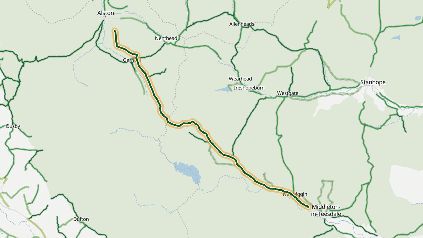
08B6277 Middleton-in-Teesdale–Alston
B6277 from Middleton-in-Teesdale up the Tees past High Force to Alston.
Climbs out of Alston into the high North Pennines, then follows the Tees down past High Force to Middleton-in-Teesdale.
19.1 miles · 3,650 ft of climbing · near Middleton-in-Teesdale
Open in WendRecommended by MSL Magazine
-
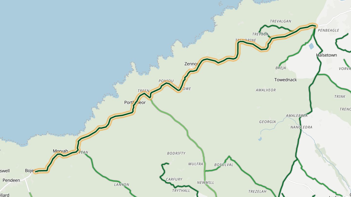
09B3306 St Ives–St Just coast road
B3306 coast road from St Ives via Zennor to St Just, West Penwith.
It hugs the remote West Penwith coast through ancient fields and small settlements, with the Atlantic on one side and rugged moorland on the other, passing Zennor, the Gurnard's Head and the old mines around Pendeen and Botallack.
9.3 miles · 950 ft of climbing · near St Ives
Good to know Short single-track stretches.
Open in WendRecommended by Visit Cornwall
-
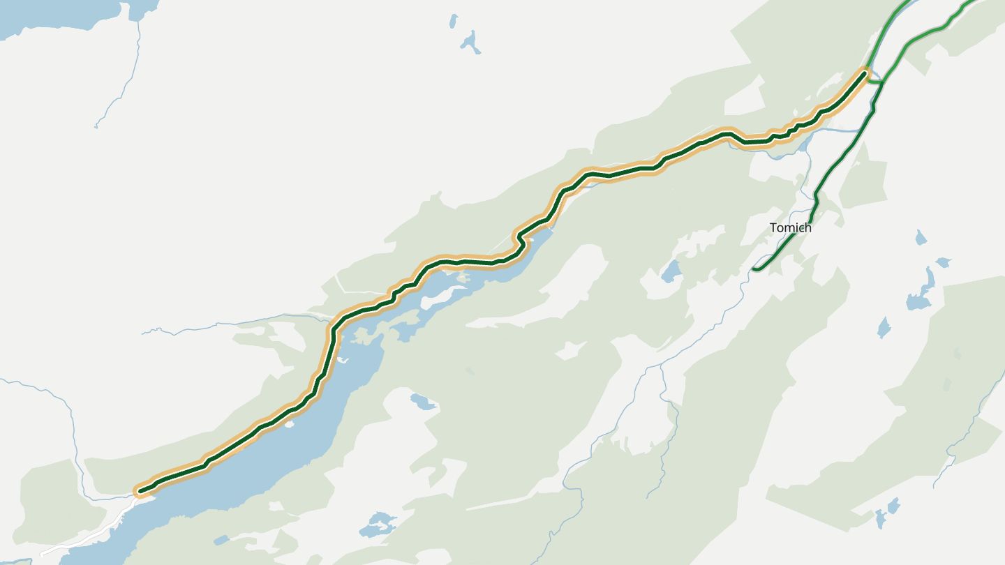
10Glen Affric Road
Single-track road from Cannich up Glen Affric past Loch Beinn a' Mheadhoin to the River Affric car park.
The road runs west from Cannich into what is often called the most beautiful glen in Scotland, ending at the River Affric car park among high mountains and remnants of ancient Caledonian forest.
8.0 miles · 750 ft of climbing · near Cannich
Good to know Single-track with passing places; dead end.
Open in WendRecommended by Visit Inverness Loch Ness
More regions
ArizonaAustraliaCaliforniaColoradoGeorgiaMissouriNew JerseyNew YorkNorth CarolinaOhioTennesseeVirginiaWashingtonWisconsin