 Wend
Wend
Driving roads · North Carolina
The best driving roads in North Carolina
The ten roads in North Carolina with the most curve and climb on Wend's map, each one also recommended by people who have driven or ridden it.
-
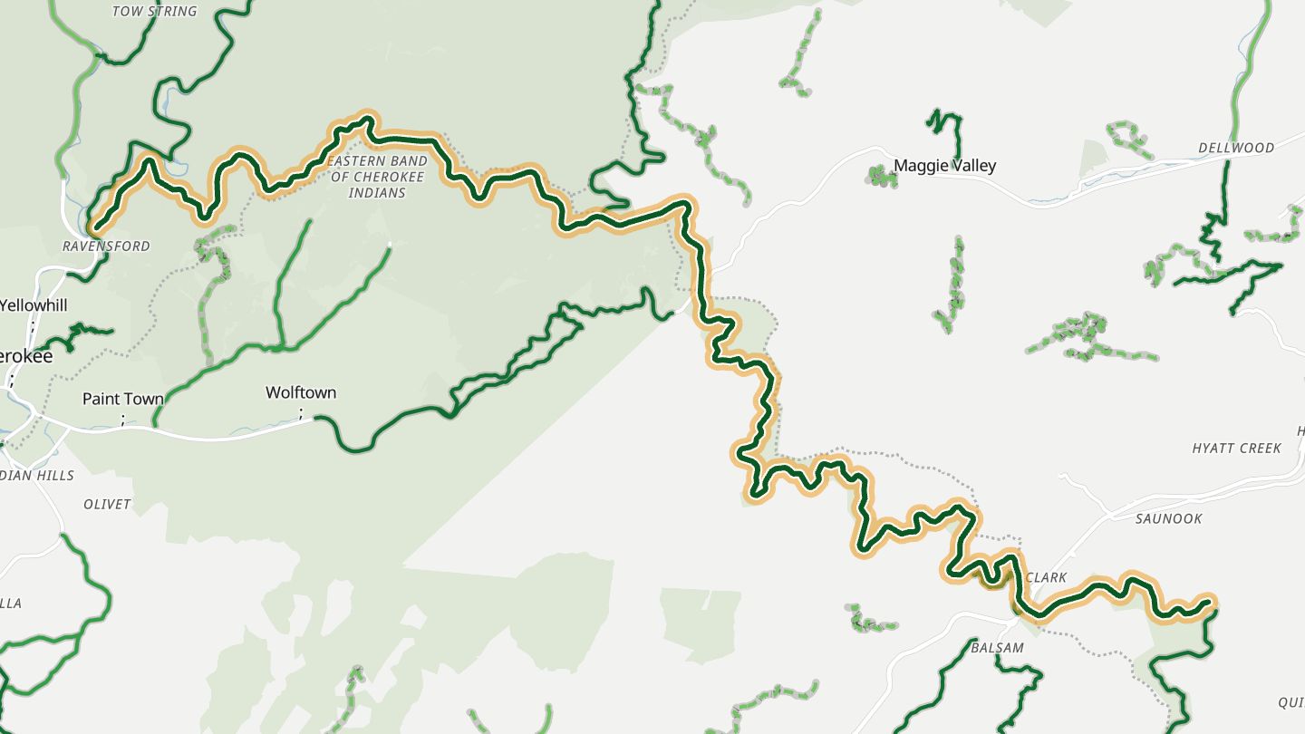
01Blue Ridge Parkway
Blue Ridge Parkway from Soco Gap toward Balsam Gap (about MP 455 to 443), the high section around Maggie Valley and Waynesville..
The Parkway's highest and most scenic section, around Richland Balsam at 6,047 feet, with Devil's Courthouse and Graveyard Fields overlooks.
29.0 miles · 6,100 ft of climbing · near Maggie Valley
Good to know Closes in places in winter weather; check NPS road status.
Open in WendRecommended by Haywood County tourism (Visit NC Smokies)
-
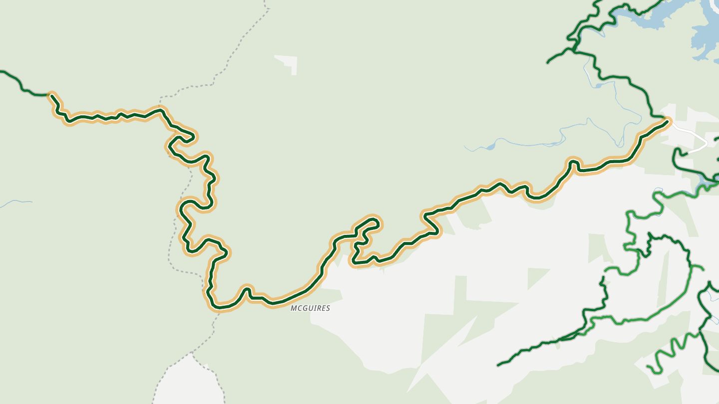
02Cherohala Skyway
Cherohala Skyway (NC 143 / TN 165), National Scenic Byway from Robbinsville toward Tellico Plains..
Climbs from Robbinsville to nearly 5,400 feet through two national forests, with 15 overlooks and smooth, sweeping curves built for riding.
19.9 miles · 5,050 ft of climbing · near Robbinsville
Good to know No fuel or stores along the route; winter weather can close it.
Open in WendRecommended by Visit Smokies
-
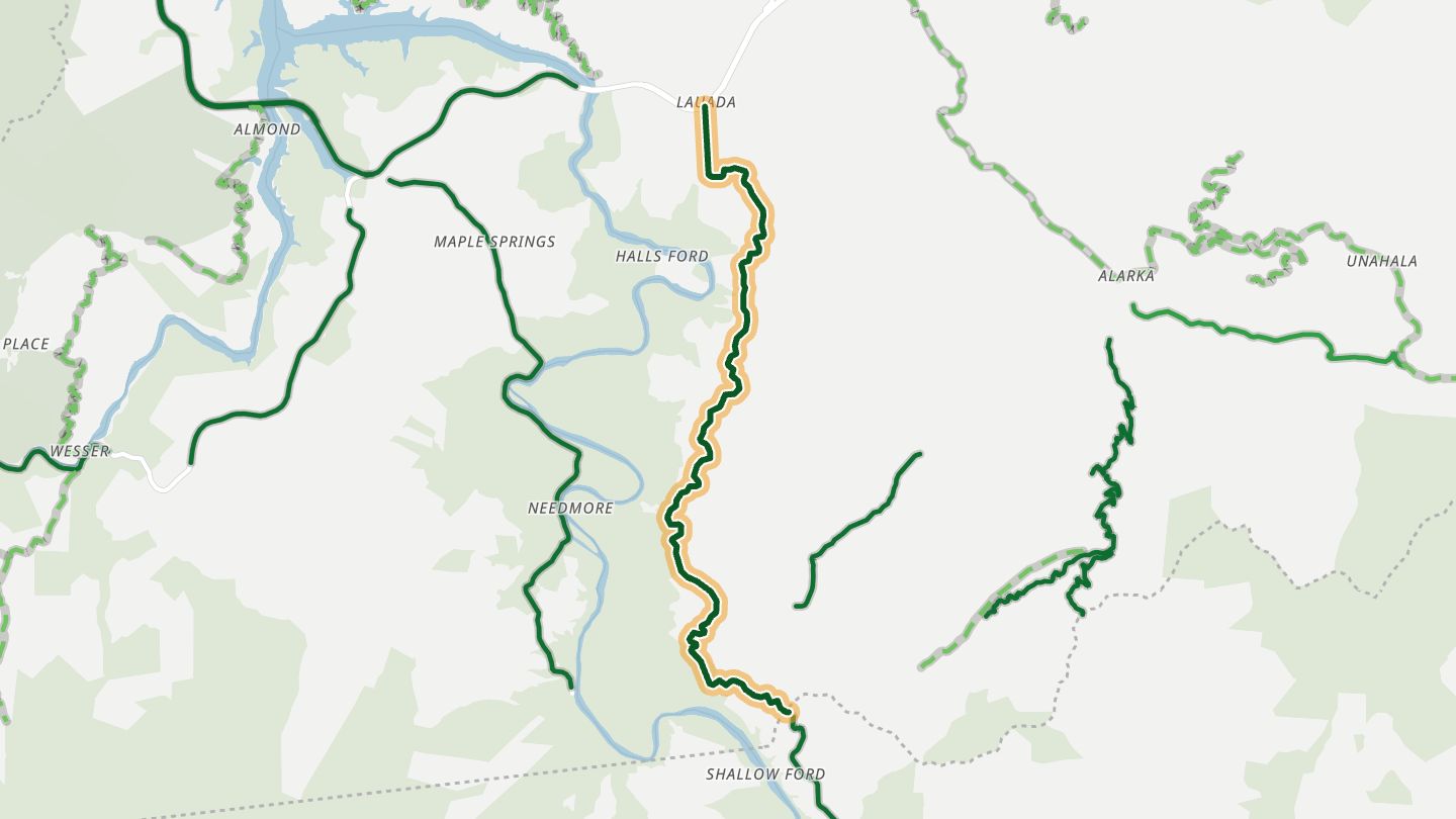
03NC 28 (Hellbender 28)
NC 28 between Almond and Stecoah in Swain County, the eastern part of the Hellbender 28 toward Fontana and Deals Gap..
Runs beside Fontana Lake with sweeping curves and drop-offs, and leads to Fontana Village and the start of the Tail of the Dragon at Deals Gap.
7.1 miles · 2,050 ft of climbing · near Almond
Open in WendRecommended by MotorcycleRoads.com (The Hellbender 28)
-
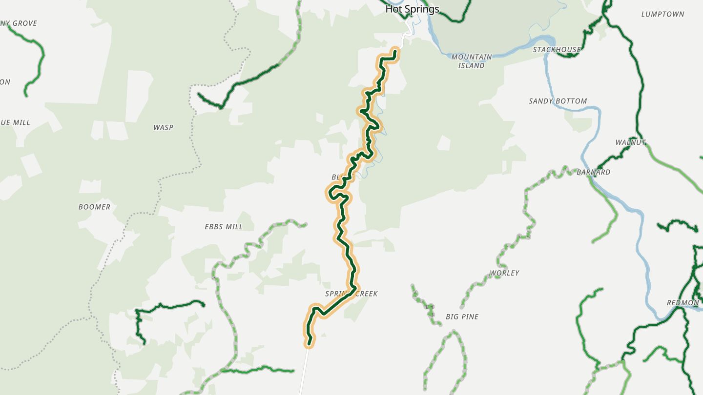
04NC 209 (The Rattler)
NC 209 'The Rattler' between I-40 near Fines Creek and Hot Springs, Madison/Haywood counties..
About 290 turns between I-40 and Hot Springs, in two technical sections split by a long straightaway through farms, forest and river bluffs.
11.1 miles · 2,100 ft of climbing · near Hot Springs
Open in WendRecommended by MotorcycleRoads.com (The Rattler)
-
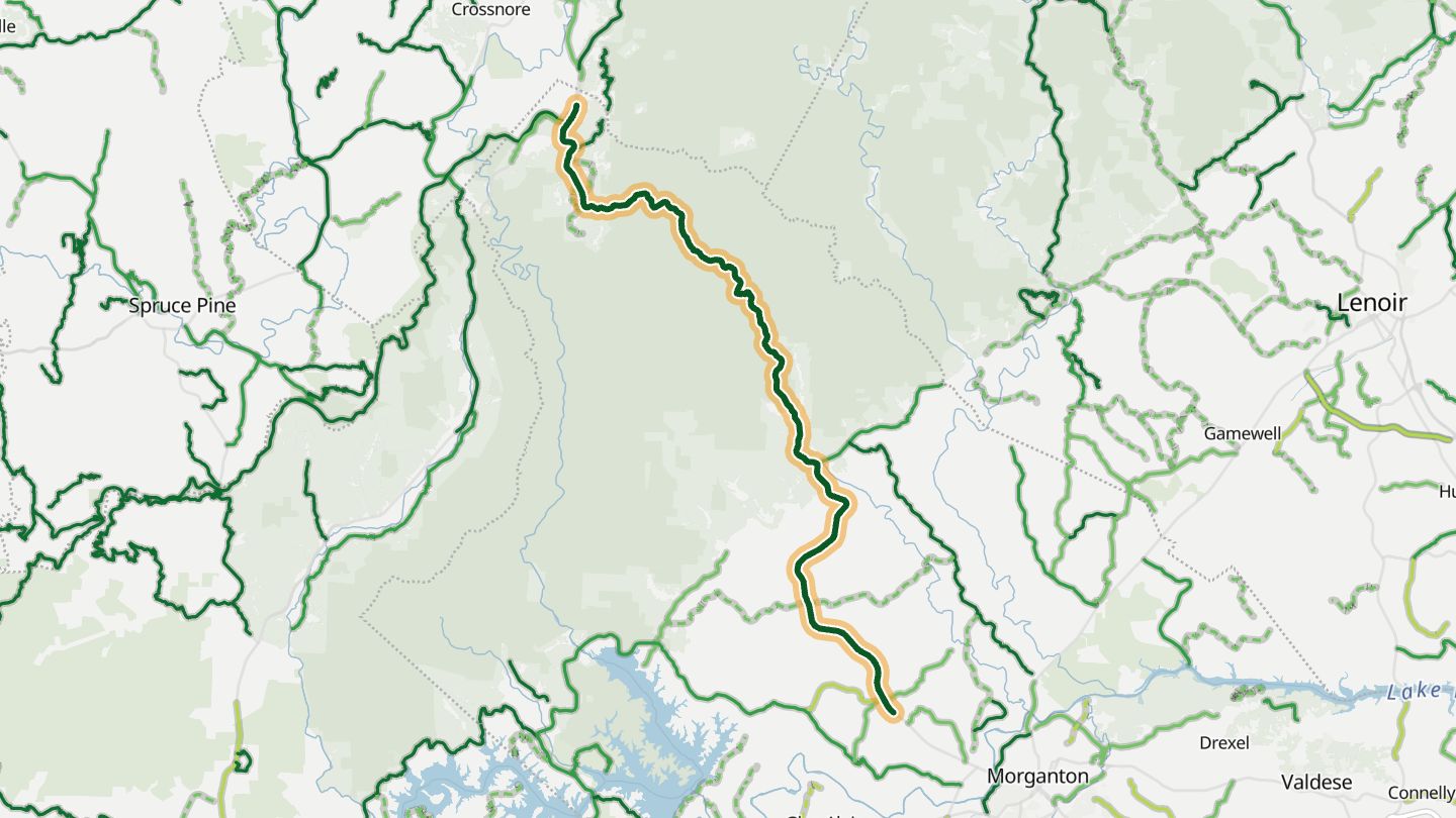
05NC 181
NC 181 from Morganton up through Pisgah National Forest to Jonas Ridge..
Climbs about 2,500 feet through Pisgah National Forest from Morganton to Jonas Ridge, with wide sweepers, passing lanes and big mountain views from the top.
22.9 miles · 2,800 ft of climbing · near Jonas Ridge
Open in WendRecommended by MotorcycleRoads.com (Route 181 Joanas Ridge to Morganton)
-
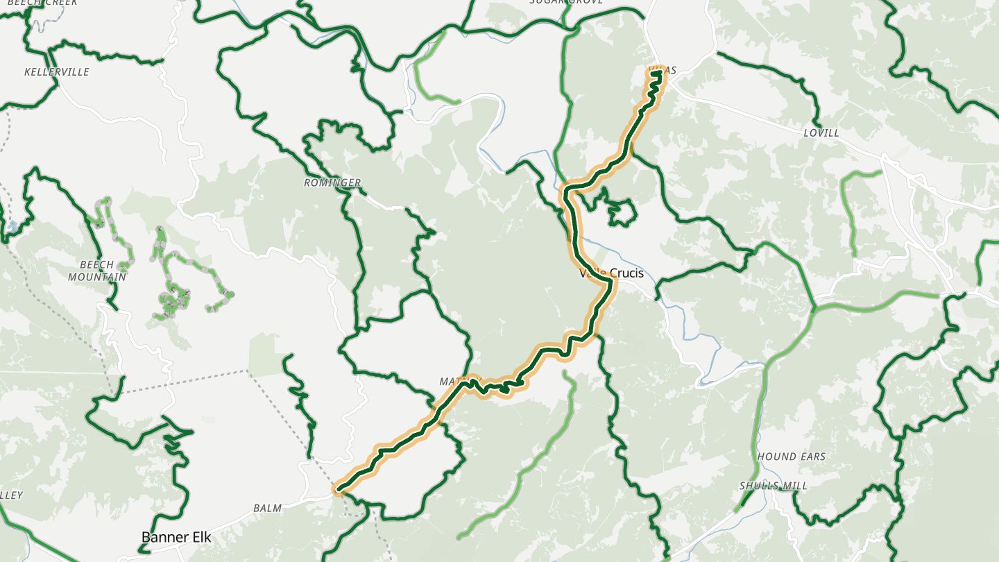
06NC 194
NC 194 between Valle Crucis and Banner Elk, Watauga/Avery counties..
A short climb out of Valle Crucis past a stone church and cattle pastures, with hairpins, a top-notch surface and tree-canopied fall colour.
9.0 miles · 4,400 ft of climbing · near Valle Crucis
Open in WendRecommended by MotorcycleRoads.com (Valle Crucis to Banner Elk on Rt 194)
-
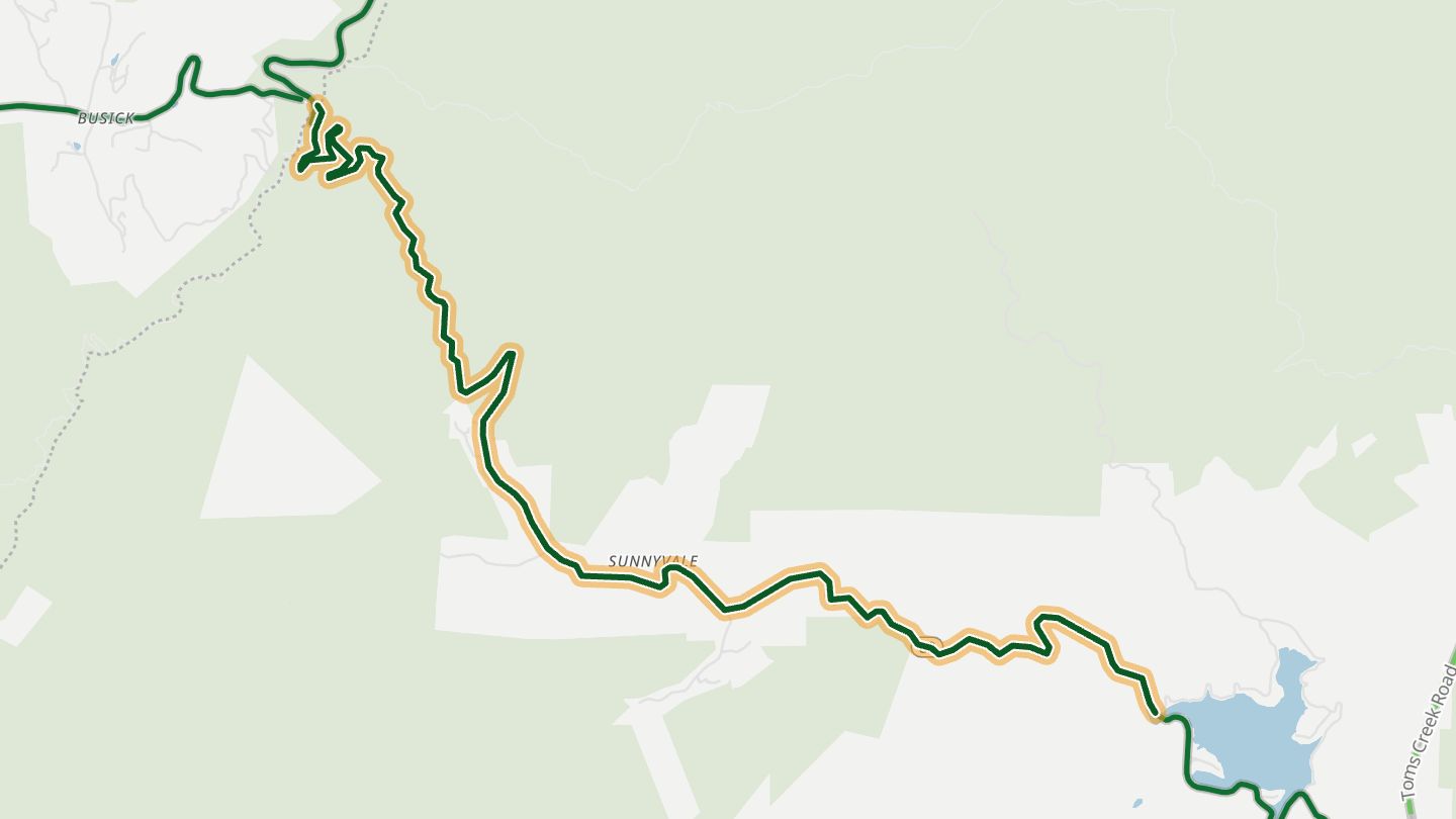
07NC 80 (Buck Creek Road)
NC 80 (Buck Creek Road) from Marion up to the Blue Ridge Parkway at Buck Creek Gap, the 'Devil's Staircase'..
Climbs about ten miles from Marion to the Blue Ridge Parkway at Buck Creek Gap, with steep drops and curves that riders call well banked.
8.3 miles · 2,750 ft of climbing · near Marion
Open in WendRecommended by MotorcycleRoads.com (Beginners Beware)
-
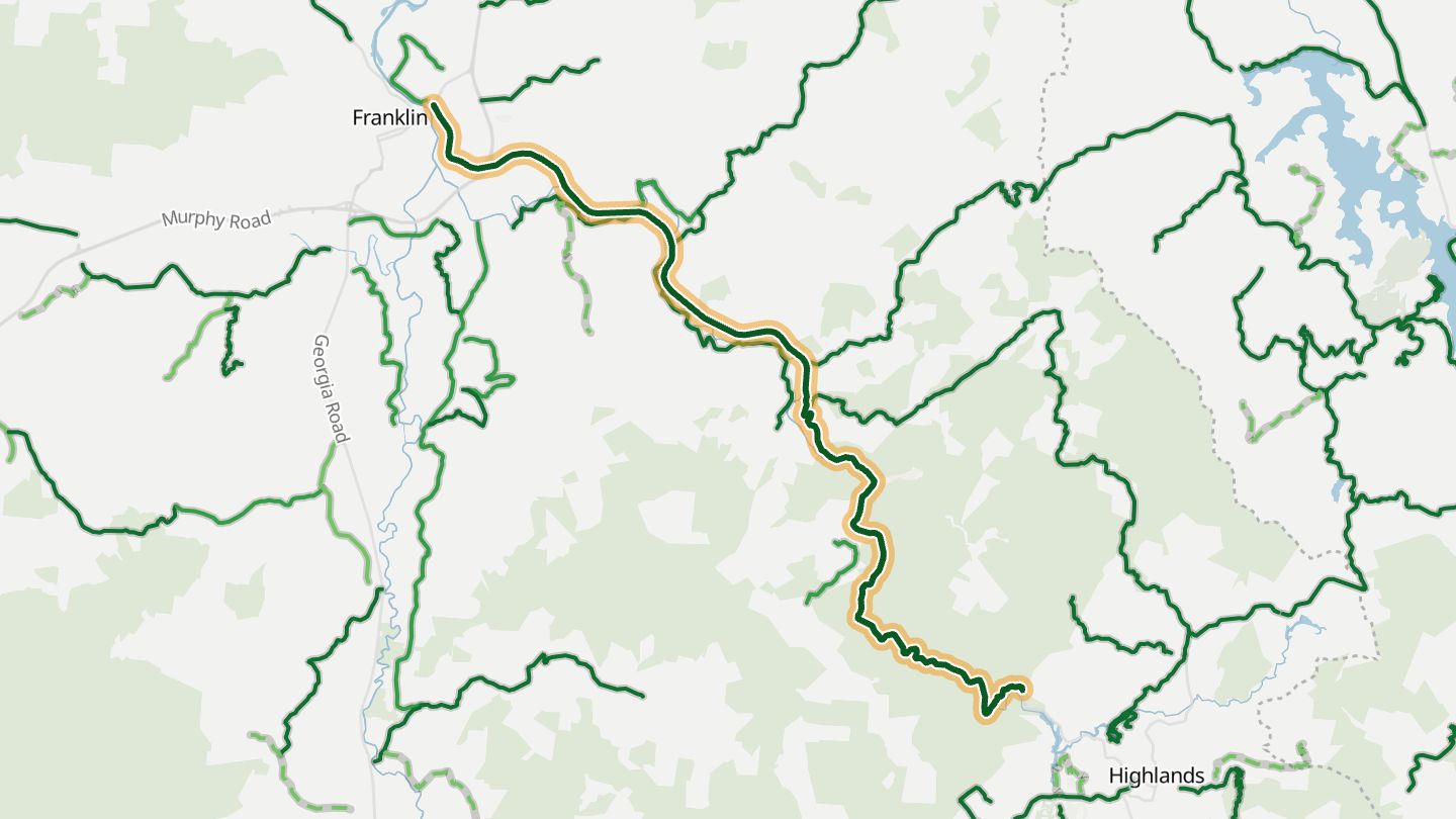
08US 64 (Highlands Road)
US 64 / NC 28 from Franklin up the Cullasaja Gorge to Highlands, the Mountain Waters Scenic Byway..
Follows the Cullasaja River through a gorge of waterfalls between Franklin and Highlands, with Dry Falls and Bridal Veil Falls right beside the road.
15.7 miles · 2,450 ft of climbing · near Franklin
Open in WendRecommended by Blue Ridge Country
-
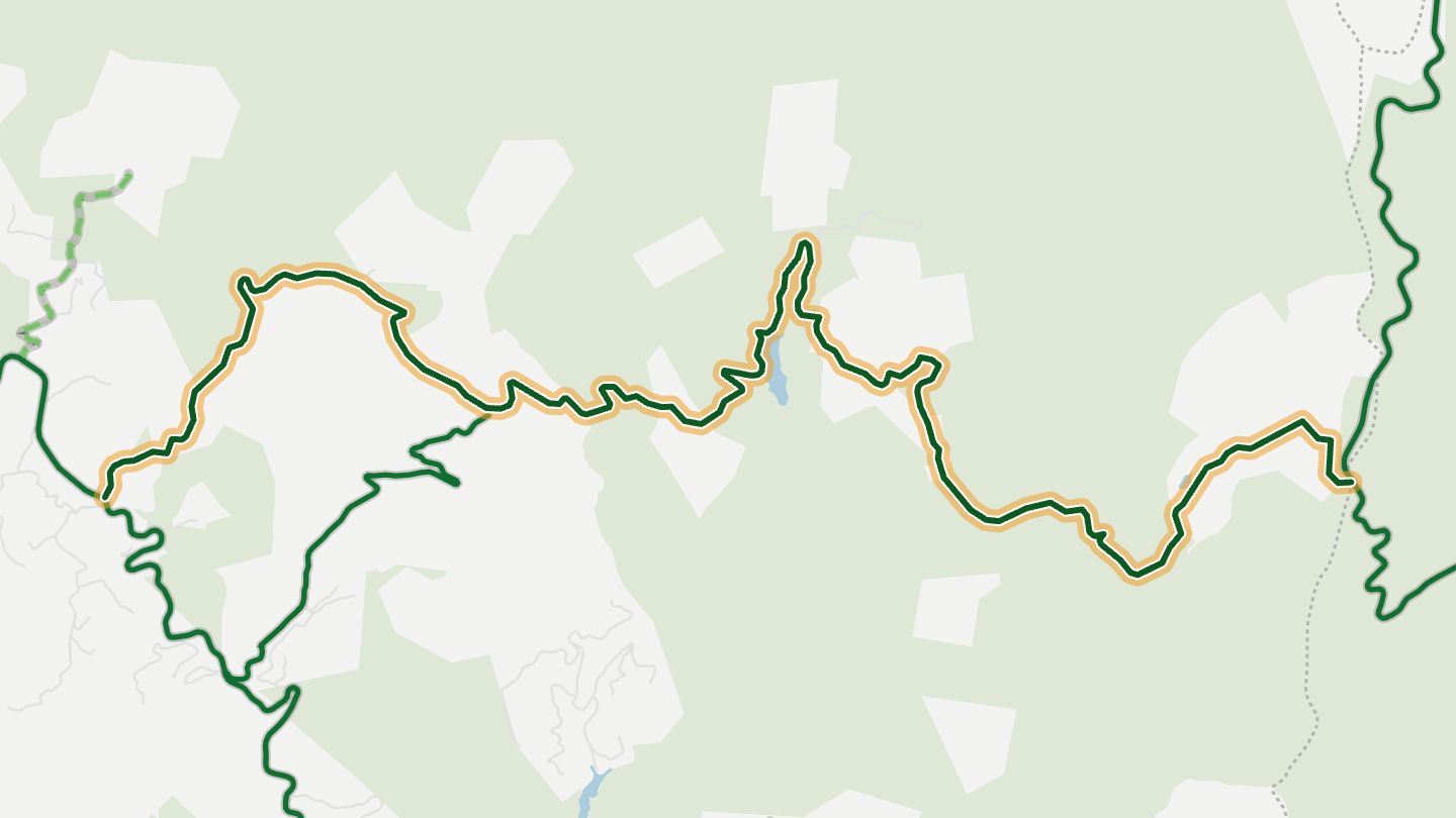
09Charleys Creek Road
Charley's Creek Road (becomes Explorer Rd) off NC 281 near Lake Toxaway, Transylvania/Jackson county line..
Part of the Lake Toxaway Loop, with banked, sharp technical turns, very few intersections and almost no traffic through the woods.
10.7 miles · 3,350 ft of climbing · near Lake Toxaway
Open in WendRecommended by MotorcycleRoads.com (Lake Toxaway Loop)
-
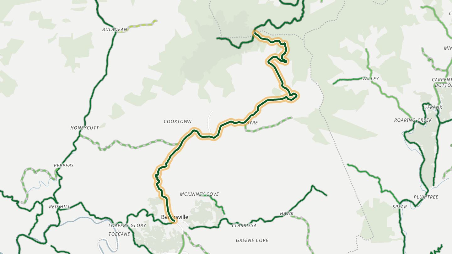
10NC 261
NC 261 from Bakersville up Roan Mountain to Carvers Gap on the Tennessee line..
Switchbacks climb from Bakersville to Carvers Gap on the Tennessee line, with few straights, little traffic and overlook views at the top.
12.7 miles · 2,950 ft of climbing · near Bakersville
Good to know Snow and ice possible November to March.
Open in WendRecommended by MotorcycleRoads.com (NC Hwy 261 Roan Mountain Road)
More regions
ArizonaAustraliaCaliforniaColoradoGeorgiaGreat BritainMissouriNew JerseyNew YorkOhioTennesseeVirginiaWashingtonWisconsin