 Wend
Wend
Driving roads · Virginia
The best driving roads in Virginia
The ten roads in Virginia with the most curve and climb on Wend's map, each one also recommended by people who have driven or ridden it.
-

01Blue Ridge Parkway (James River to Roanoke)
Blue Ridge Parkway, James River to Roanoke section through Bedford County, passing Apple Orchard Mountain and the Peaks of Otter..
Climbs over Apple Orchard Mountain above 3,900 feet, then reaches the Peaks of Otter, with Sharp Top, Flat Top and Abbott Lake beside the road. Big elevation changes through the Blue Ridge, ending near Roanoke.
42.8 miles · 5,950 ft of climbing · near Buchanan
Good to know Free. Low speed limit; stretches can close in winter weather or for maintenance.
Open in WendRecommended by Virginia Tourism Corporation
-
02VA-39 (Goshen Pass)
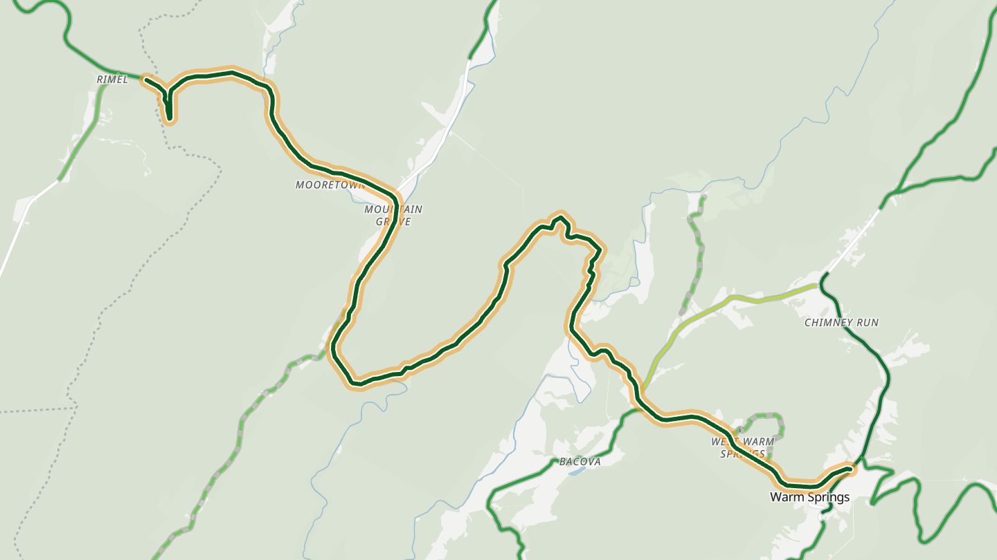
VA-39 (Mountain Valley Road) through Goshen Pass along the Maury River, Rockbridge/Bath counties..
Follows the Maury River through the gorge of Goshen Pass on a light-traffic two-lane, then climbs into national forest. Riders put it in a 171-mile loop of Appalachian twisties.
17.4 miles · 2,800 ft of climbing · near Goshen
Open in WendRecommended by MotorcycleRoads.com
-
03VA-80 (Hayters Gap)
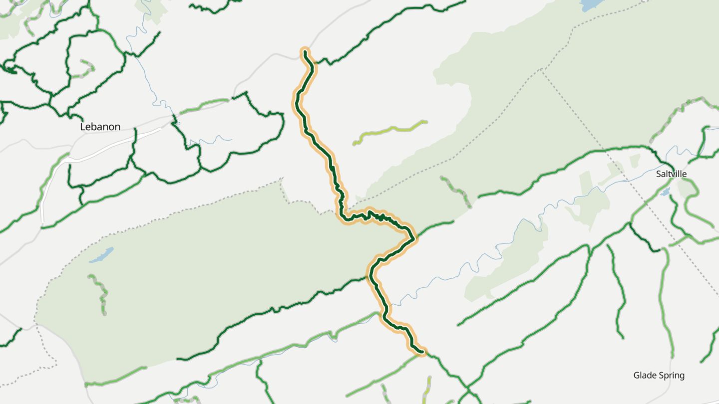
VA-80 over Clinch Mountain at Hayters Gap, Washington/Russell counties..
Crosses Clinch Mountain at Hayters Gap through Jefferson National Forest, one tight turn after another with little traffic. Riders rate it highly and some rank it above the Dragon.
14.9 miles · 2,600 ft of climbing · near Meadowview
Open in WendRecommended by MotorcycleRoads.com
-
04VA-311 (Potts Mountain)
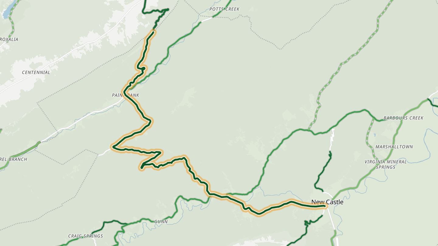
VA-311 over Potts Mountain between New Castle and Paint Bank, Craig County..
Switchbacks down and up Potts Mountain between New Castle and Paint Bank. One rider on the loop called this section his piece of heaven.
19.6 miles · 4,200 ft of climbing · near Paint Bank
Open in WendRecommended by MotorcycleRoads.com
-
05Crabtree Falls Highway
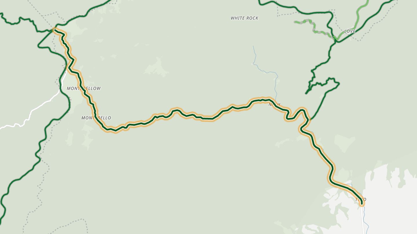
VA-56 (Crabtree Falls Highway), Nelson County, climbing along Crabtree Creek toward the Blue Ridge Parkway..
Follows Crabtree Creek up through the George Washington National Forest to the Blue Ridge Parkway, with a steady run of curves and rises on a well-kept surface. Starts the Parkway from the east side.
13.0 miles · 1,900 ft of climbing · near Nellysford
Open in WendRecommended by MotorcycleRoads.com
-
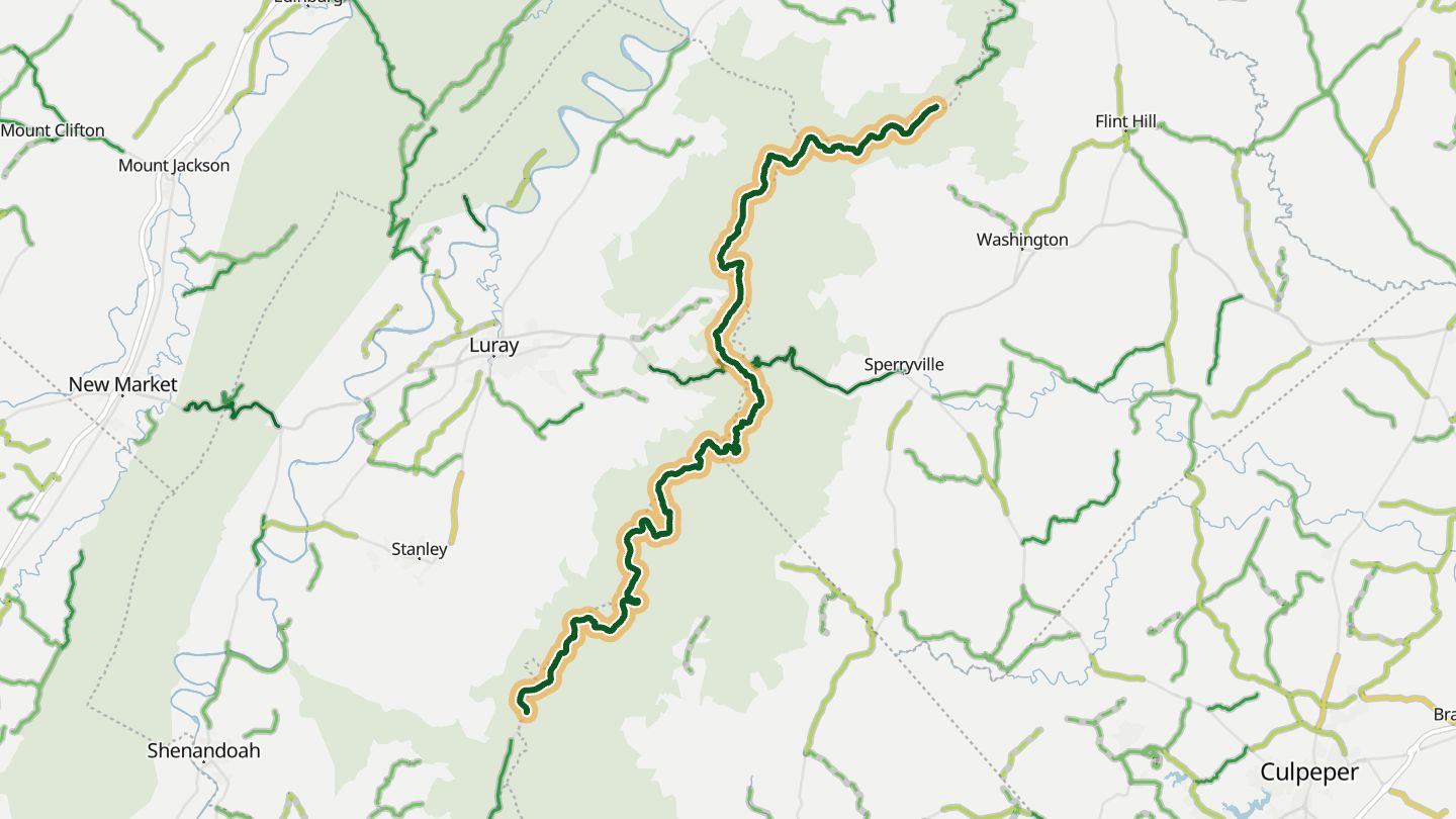
06Skyline Drive
Skyline Drive in Shenandoah National Park, central-northern section around Thornton Gap and Big Meadows..
Runs 105 miles along the crest of the Blue Ridge, with overlooks west to the Shenandoah Valley and east to the Piedmont, past Big Meadows at the middle. About three hours end to end.
36.2 miles · 6,050 ft of climbing · near Luray
Good to know Shenandoah National Park entrance fee. 35 mph speed limit.
Open in WendRecommended by National Park Service, Shenandoah National Park
-
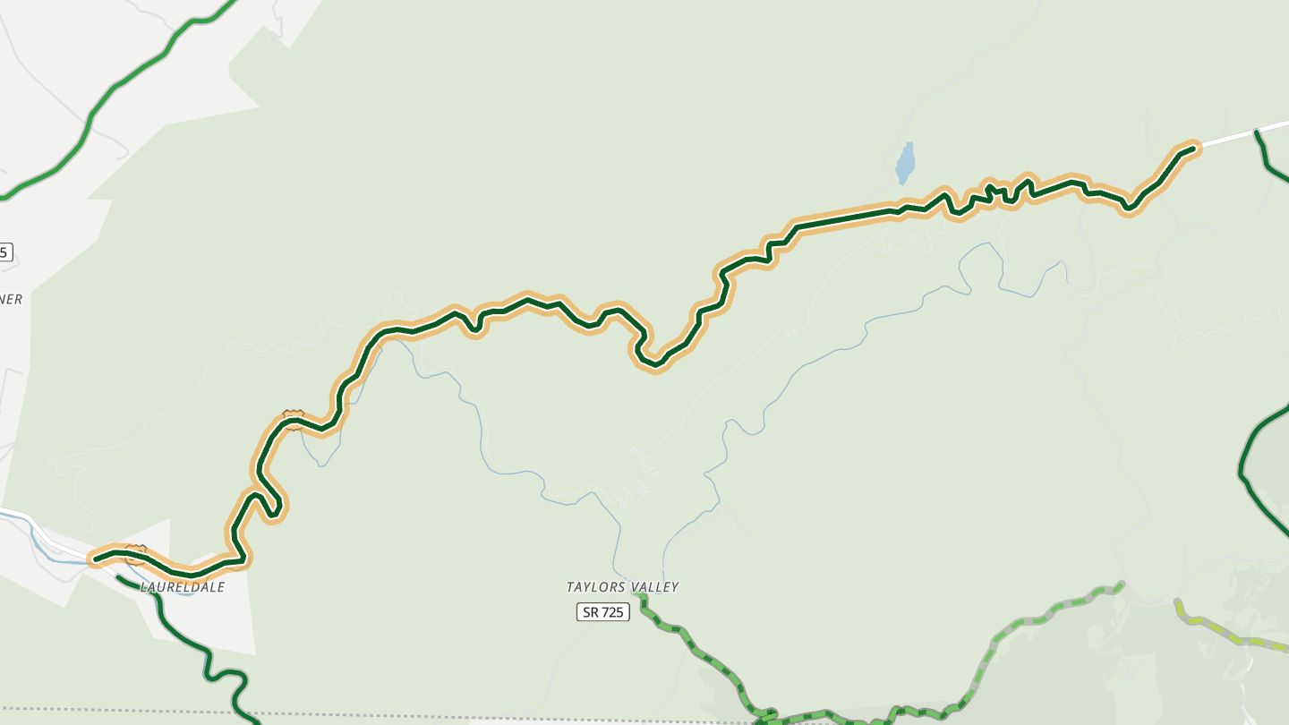
07US 58 (Mount Rogers Scenic Byway)
US 58 (Jeb Stuart Highway) east of Damascus, the western end of the Mount Rogers Scenic Byway, Washington/Grayson counties..
Runs east out of Damascus beside a river and into Mount Rogers country, past Straight Branch Falls, Beartree Lake and the old settlements of Green Cove and Konnarock. Paved two-lane through national forest.
9.3 miles · 1,850 ft of climbing · near Damascus
Open in WendRecommended by Visit Damascus
-
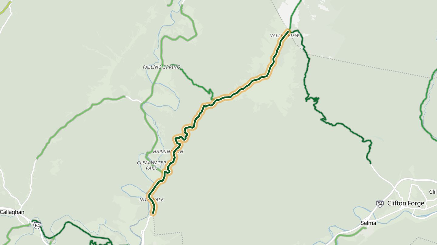
08US 220 (Hot Springs Road)
US 220 north of Covington (Hot Springs Road) toward Falling Spring Falls, Alleghany County..
Climbs north from Covington through curves that riders call addictive, with views over the Allegheny Mountains and a stop at Falling Spring Falls, an 80-foot cascade by the road.
9.8 miles · 1,650 ft of climbing · near Covington
Open in WendRecommended by Rider Magazine
-
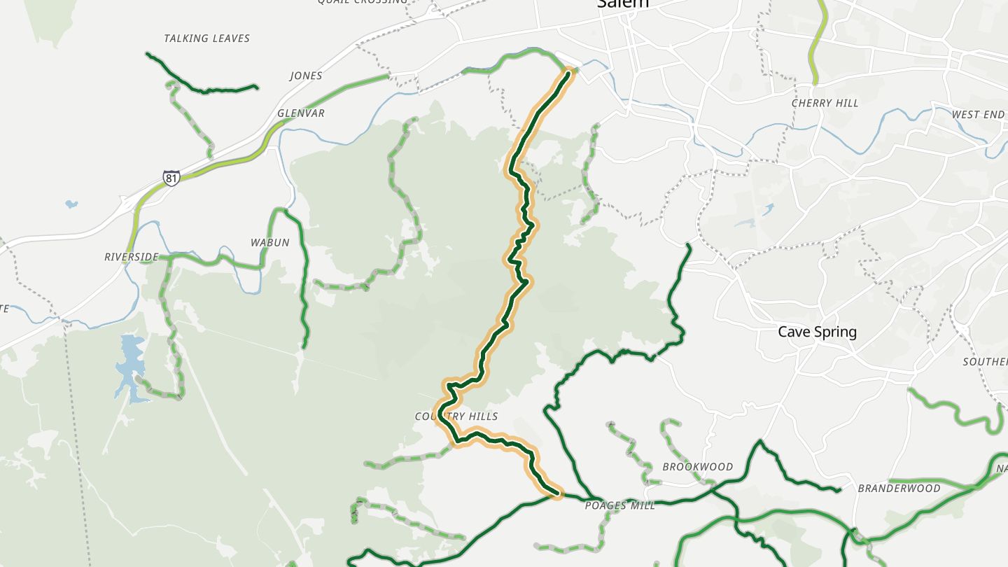
09Twelve Oclock Knob Road
Twelve O'Clock Knob Road, Roanoke County, last leg of the Roanoke Hills loop back to Riverside Drive..
Closes a Roanoke Hills loop with tight turns and mountain views above the valley. The steep, winding climb was the centerpiece of a Tour DuPont time trial in the 1990s.
8.5 miles · 1,850 ft of climbing · near Cave Spring
Open in WendRecommended by MotorcycleRoads.com
-
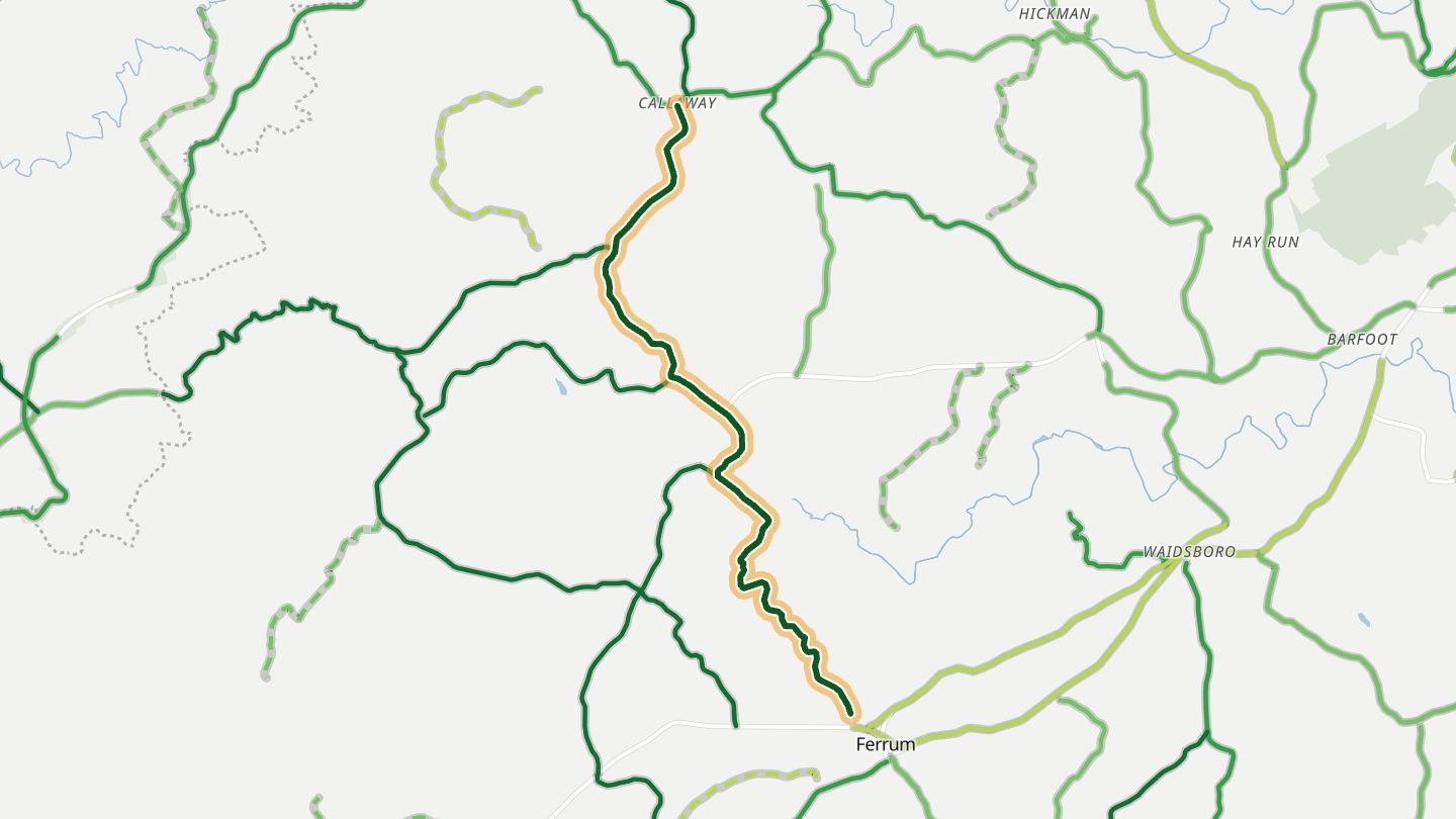
10Ferrum Mountain Road
Ferrum Mountain Road through the Ferrum College campus, Franklin County, part of a loop south of Floyd..
Passes through the Ferrum College campus and then winds down the back of the mountain, wooded and tight, before easing out into broad open fields.
8.2 miles · 1,300 ft of climbing · near Ferrum
Open in WendRecommended by ADVrider America Rides
More regions
ArizonaAustraliaCaliforniaColoradoGeorgiaGreat BritainMissouriNew JerseyNew YorkNorth CarolinaOhioTennesseeWashingtonWisconsin