 Wend
Wend
Driving roads · Missouri
The best driving roads in Missouri
The eight roads in Missouri with the most curve and climb on Wend's map, each one also recommended by people who have driven or ridden it.
-
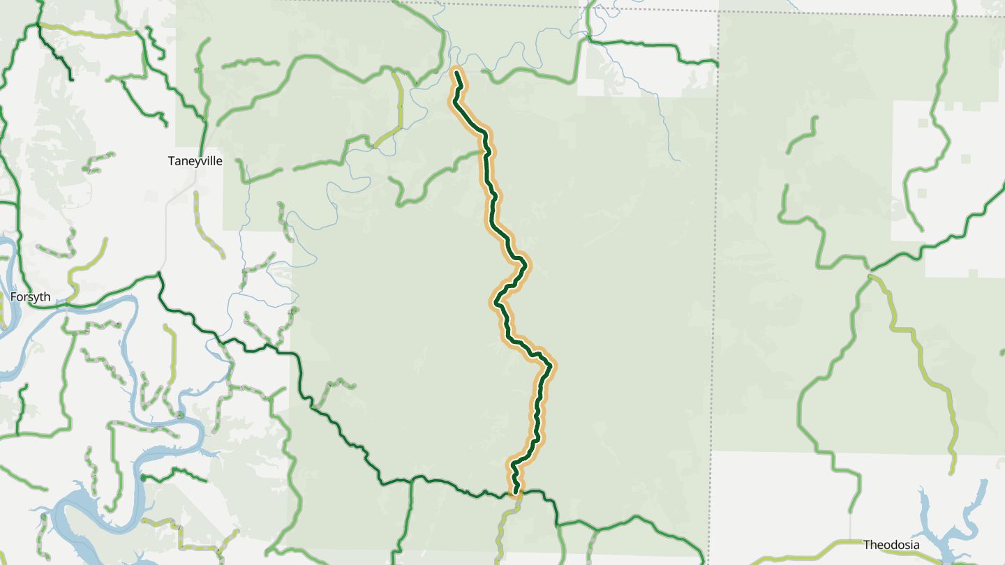
01Missouri 125
MO 125 south of Ava/Sparta toward the Arkansas line, Douglas/Ozark County.
Runs south from Sparta through Ozark hills and the Mark Twain National Forest, with a long string of twists and curves on mostly good pavement. Riders rank it among the nicest roads in the Ozarks, and the route carries on to the Peel Ferry across Bull Shoals Lake.
15.3 miles · 1,650 ft of climbing · near Protem
Open in WendRecommended by MotorcycleRoads.com (Highway 125)
-
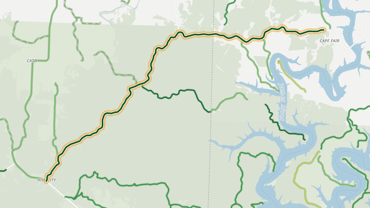
02Missouri 76
MO 76 between Shell Knob and Cassville, Barry County (same road as candidate 13).
Cassville to Reeds Spring rides like a roller coaster, with constant ups and downs and curves that can be taken at a comfortable pace on good pavement. Much of it runs through national forest, with a crossing of an arm of Table Rock Lake near Cape Fair.
12.4 miles · 1,150 ft of climbing · near Shell Knob
Open in WendRecommended by MotorcycleRoads.com (Missouri Roller Coaster, Route 76 West of Reeds Spring)
-
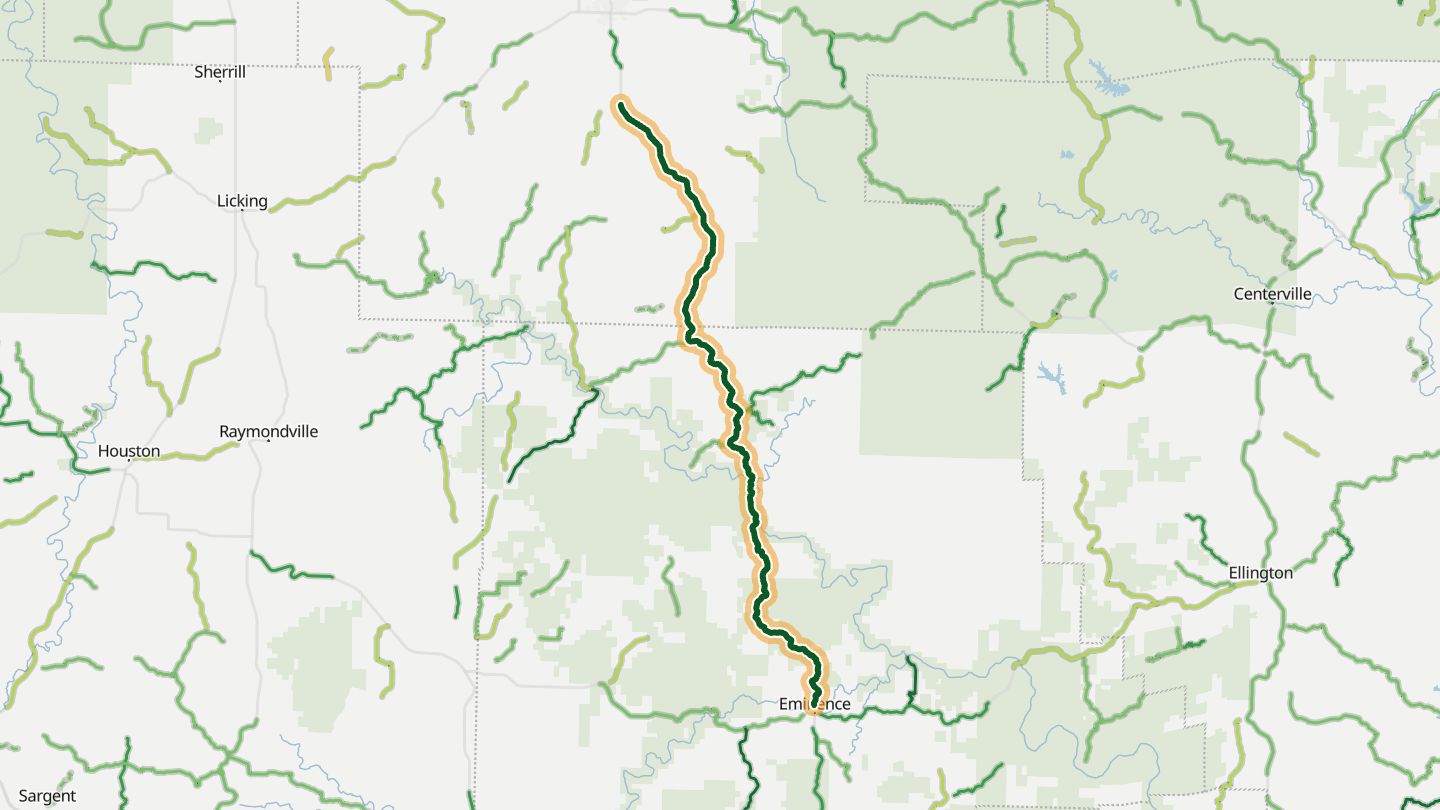
03Missouri 19
MO 19 between Salem and Eminence through the Ozark National Scenic Riverways.
Long, linked, banked corners and elevation changes carry the road through the Ozark National Scenic Riverways and Mark Twain National Forest. Riders say the stretch south of Salem has the best scenery in the state, especially when the leaves turn.
37.5 miles · 2,150 ft of climbing · near Eminence
Open in WendRecommended by MotorcycleRoads.com (Hwy 19, Hermann to Winona)
-
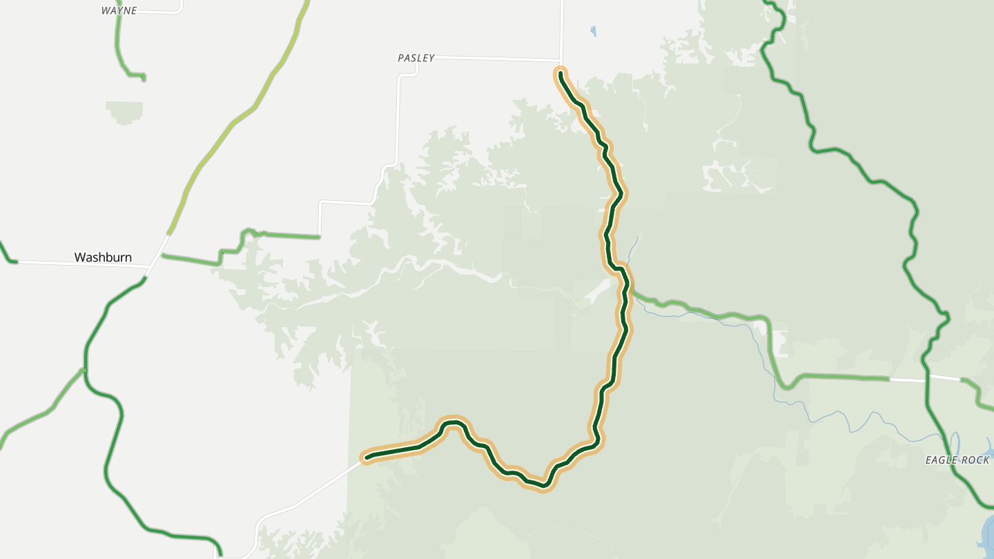
04Missouri 112
MO 112 between Seligman and Roaring River State Park, Barry County.
A winding road lined with hardwoods drops from Seligman toward Roaring River State Park, with sweeping turns and a couple of steep dips. Fall color is the draw, and bald eagles winter in the area.
9.8 miles · 1,500 ft of climbing · near Seligman
Open in WendRecommended by MotorcycleRoads.com (Roaring River Roller Coaster)
-
05Missouri 34
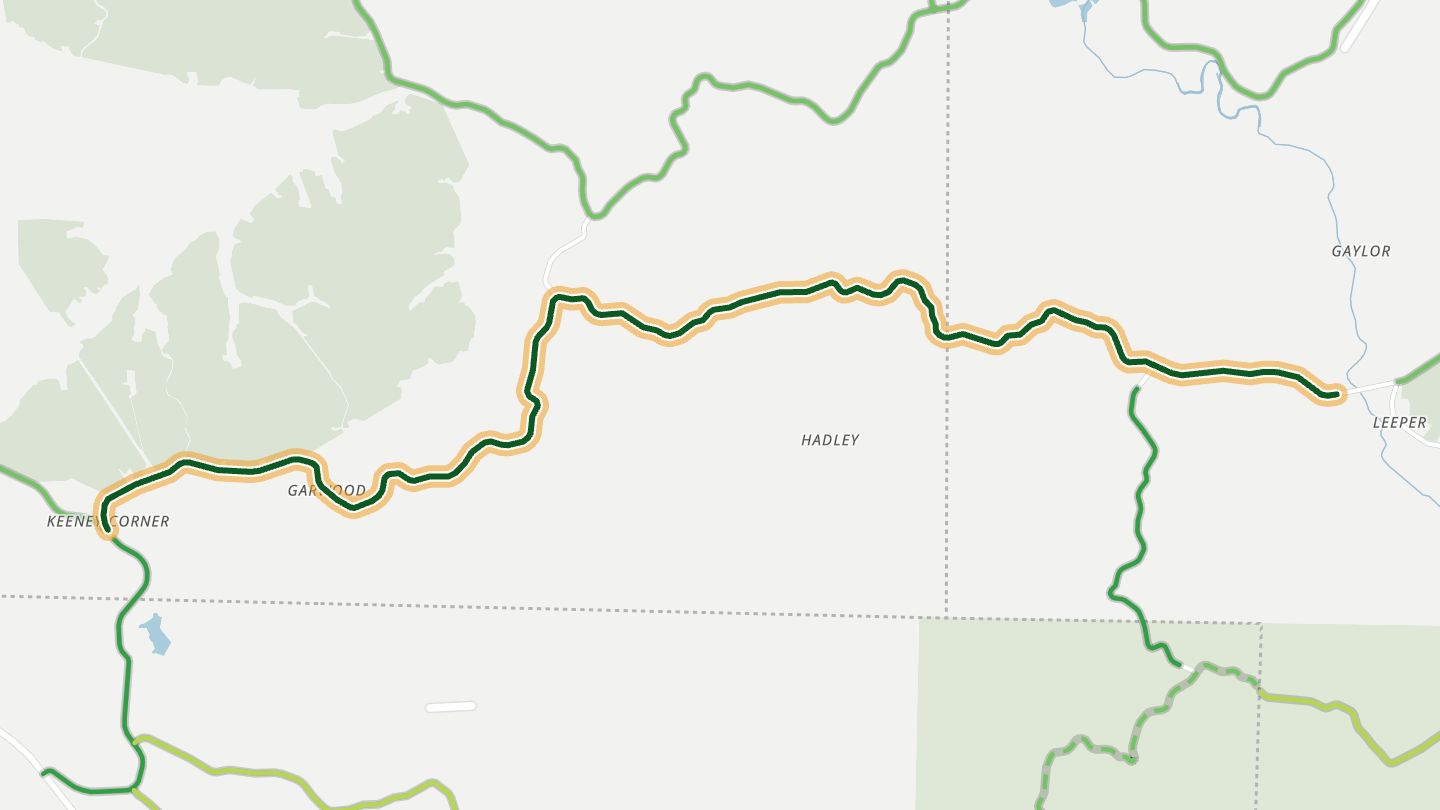
MO 34 between US 60 and MO 49 in Reynolds/Wayne County, west of Piedmont.
Corners come almost without a break between US 60 and Highway 49, with only a few straights. The pavement is described as smooth and grippy, helped by a recent repaving of the eastern end.
13.9 miles · 950 ft of climbing · near Piedmont
Open in WendRecommended by BestBikingRoads (motorcycle routes)
-
06Missouri 32 and 49
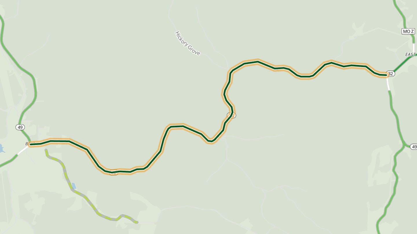
MO 32 and MO 49 through the Mark Twain National Forest near Bixby, Iron County.
Rolling hills and sweeping 30 to 40 mph curves run through the Mark Twain National Forest, with the Bixby Country Store as the classic stop. The route author calls it one of the best rollercoaster rides in the Missouri Ozarks.
5.5 miles · 850 ft of climbing · near Bixby
Open in WendRecommended by MotorcycleRoads.com (MO-32 Salem to Caledonia)
-
07US 160
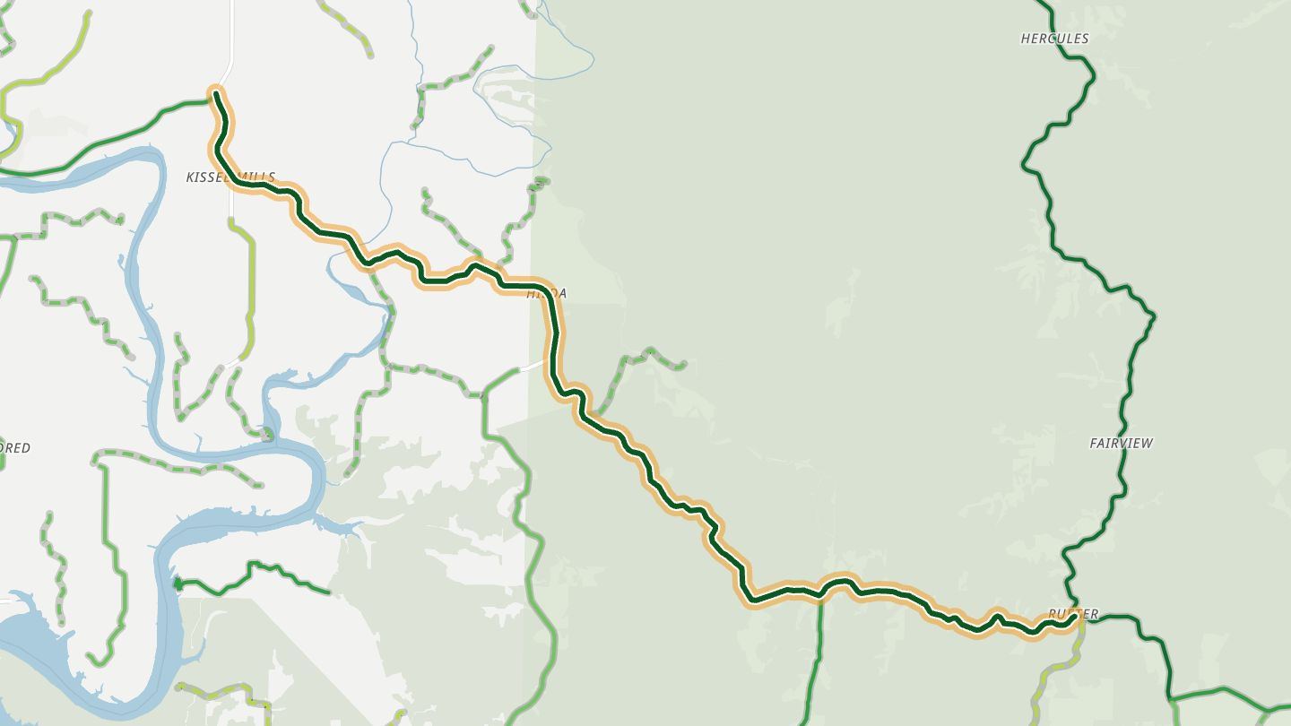
US 160 east of Forsyth toward Kissee Mills and Gainesville, Taney/Ozark County.
Hardly any long straights between Forsyth and Gainesville, just gentle curves to tight corners with near-constant elevation change. The road passes Lake Taneycomo and Bull Shoals Lake and runs largely through woods.
15.3 miles · 1,450 ft of climbing · near Kissee Mills
Open in WendRecommended by MotorcycleRoads.com (US 160 Reeds Spring to Gainesville)
-
08Missouri 248
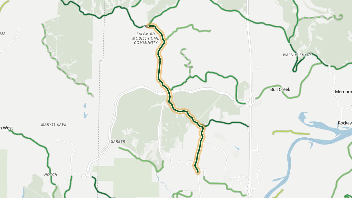
MO 248 between Branson and Reeds Spring, Stone/Taney County.
Heads northwest out of Branson through Reeds Spring toward the James River at Galena, a quiet forested run with sweeping curves.
6.1 miles · 800 ft of climbing · near Branson West
Open in WendRecommended by Rever (Branson MO Motorcycle Rides)
More regions
ArizonaAustraliaCaliforniaColoradoGeorgiaGreat BritainNew JerseyNew YorkNorth CarolinaOhioTennesseeVirginiaWashingtonWisconsin