 Wend
Wend
Driving roads · Georgia
The best driving roads in Georgia
The ten roads in Georgia with the most curve and climb on Wend's map, each one also recommended by people who have driven or ridden it.
-
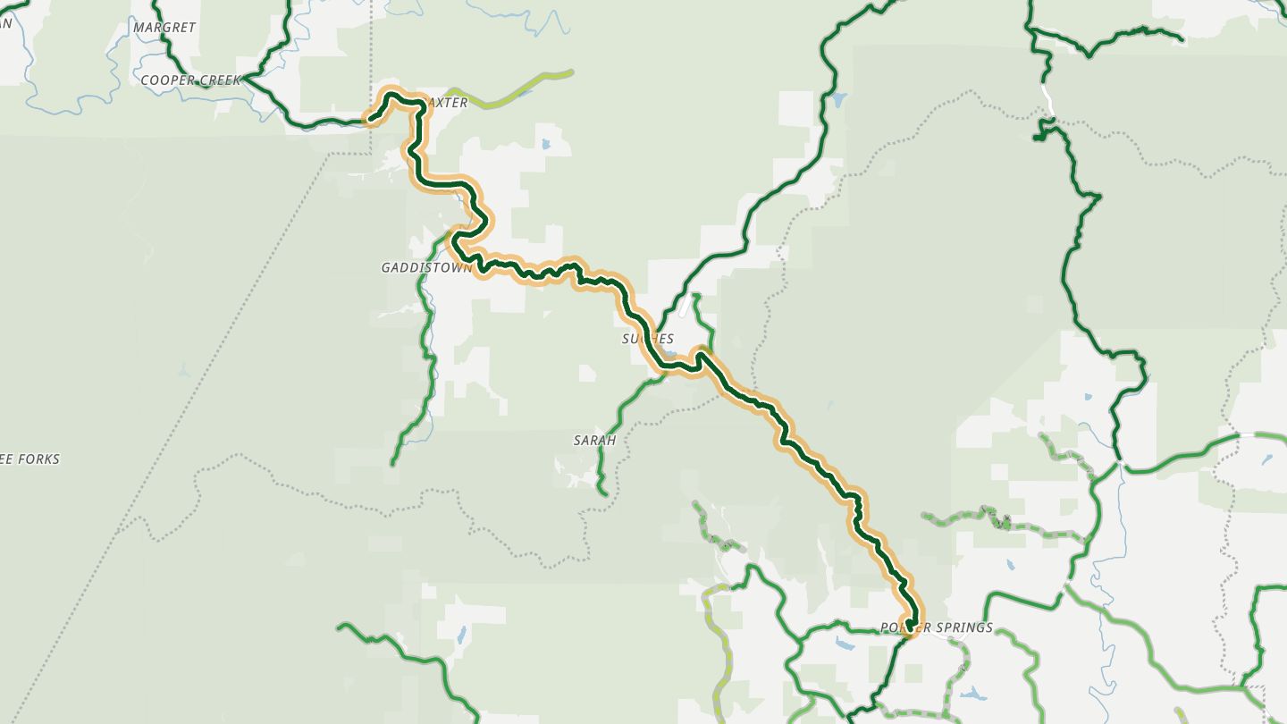
01Georgia 60 (Woody Gap to Suches)
GA 60 from Woody Gap through Suches, west leg of the Georgia Triangle.
A winding mountain road through the Chattahoochee National Forest, with tight S-curves and a Woody Gap view toward Springer Mountain, and Two Wheels Only in Suches as the riders' stop.
15.9 miles · 2,700 ft of climbing · near Suches
Open in WendRecommended by Rider Magazine
-
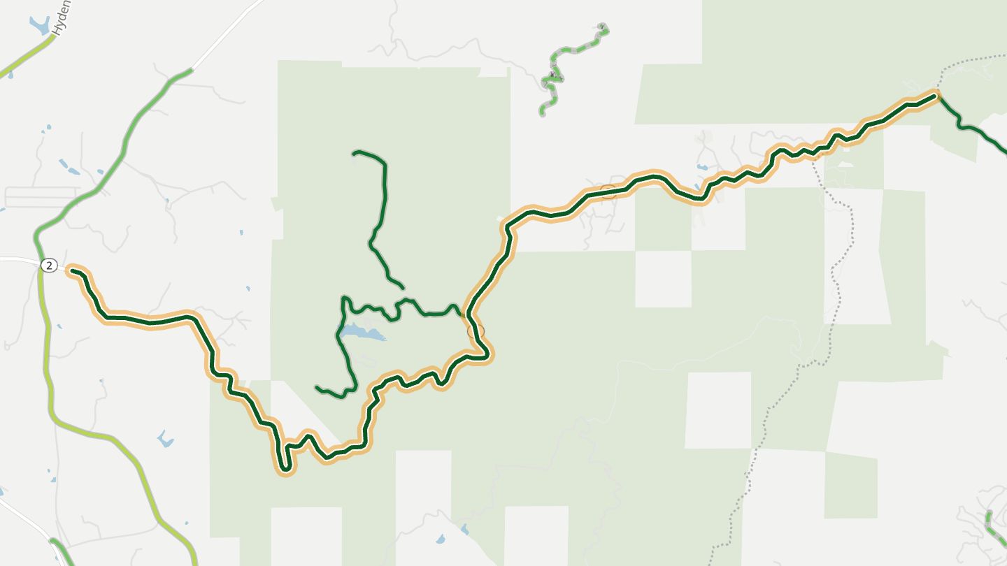
02Georgia 52 over Fort Mountain
GA 52 climbing to Fort Mountain State Park east of Chatsworth, with GA 2.
A twisting climb of about 1,500 feet to Fort Mountain State Park, with pullouts for valley views and fall colour. Well kept pavement.
11.2 miles · 2,000 ft of climbing · near Chatsworth
Open in WendRecommended by Rider Magazine
-
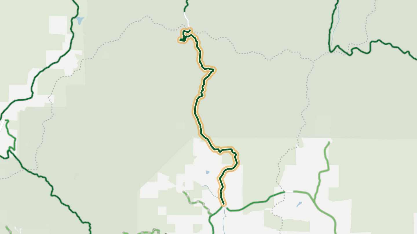
03US 19/129 over Blood Mountain
US 19/129 over Blood Mountain and Neels Gap, east leg of the Georgia Triangle.
Roller-coaster sweepers climb past Neels Gap and the Walasi-Yi center on the Appalachian Trail. Passing lanes on the climbs make the hairpins easier, and Blood Mountain is the setting.
7.7 miles · 1,700 ft of climbing · near Neels Gap
Open in WendRecommended by Rider Magazine
-
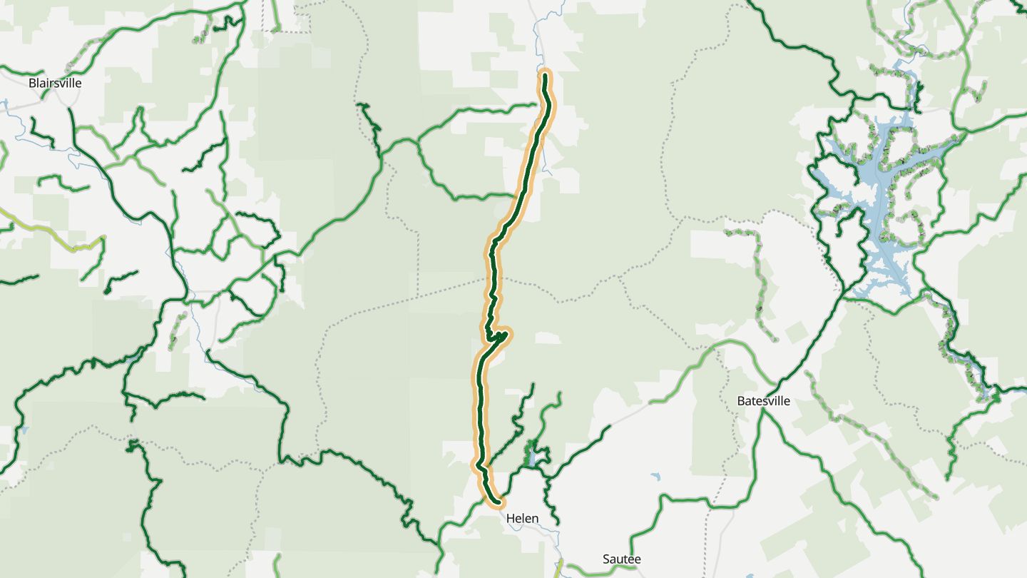
04Unicoi Turnpike (GA 17/75)
GA 17/75 over Unicoi Gap between Helen and Hiawassee.
Climbs to Unicoi Gap where the Appalachian Trail crosses, through national forest on very curvy, steep pavement with little traffic. Best in fall colour.
14.2 miles · 2,250 ft of climbing · near Hiawassee
Open in WendRecommended by Rider Magazine
-
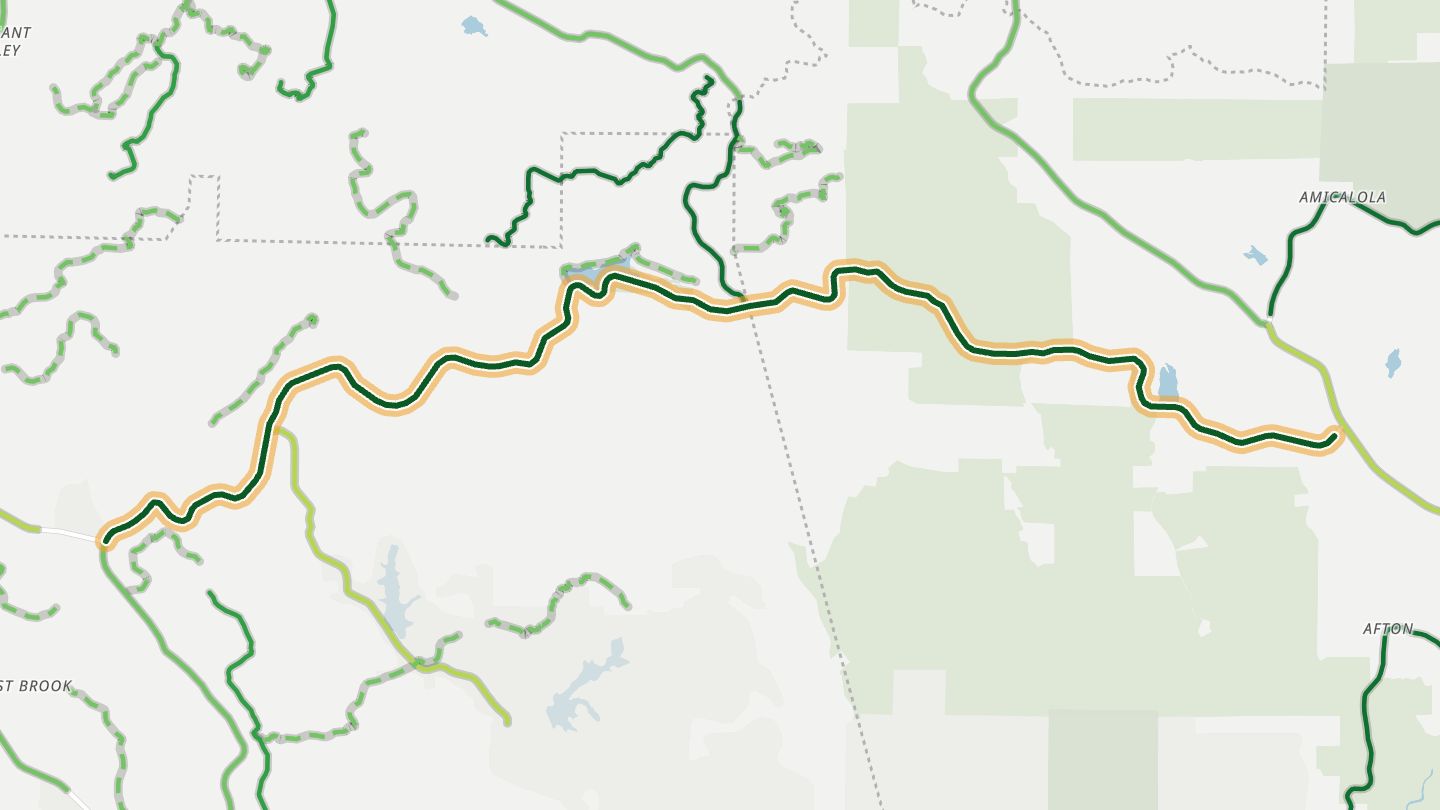
05Georgia 136
GA 136 between Jasper and Talking Rock.
A sweeping foothill road with good pavement, an overlook about ten miles in and, in winter, distant views toward Amicalola Falls. Traffic stays light.
13.9 miles · 2,500 ft of climbing · near Jasper
Open in WendRecommended by MotorcycleRoads.com
-
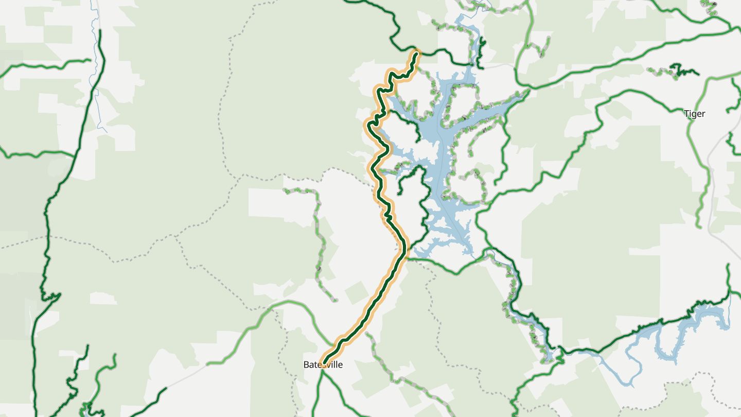
06Georgia 197 (Lake Burton)
GA 197 along Lake Burton toward Clayton.
Rolling hills and overhanging trees lead to views of Lake Burton, with a marina deck for lunch. Close to Tallulah Gorge and the Russell Scenic Highway.
12.0 miles · 1,850 ft of climbing · near Lake Burton
Open in WendRecommended by Motorcycle Cruiser
-
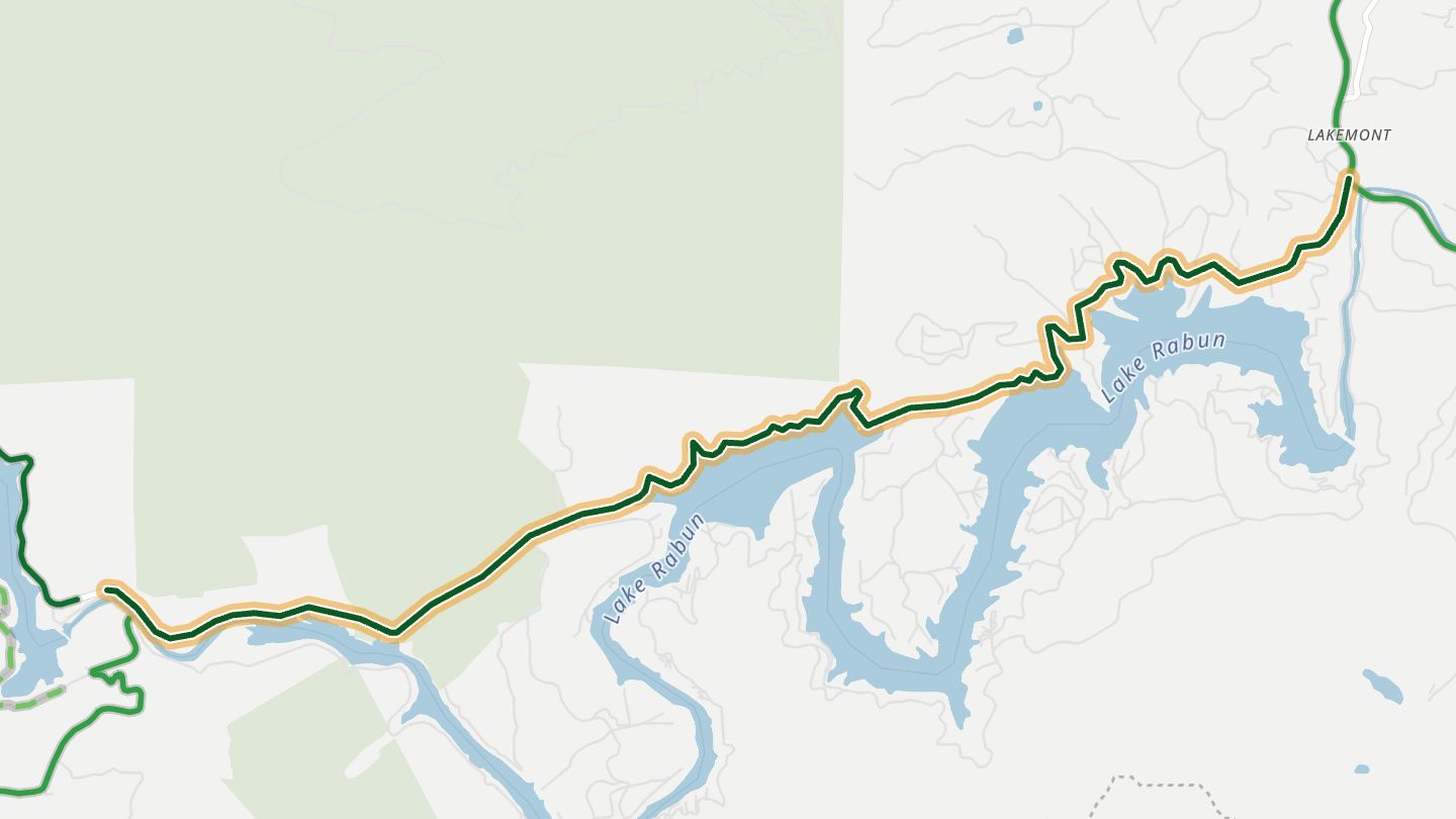
07Lake Rabun Road
Lake Rabun Road around Lake Rabun.
Smooth pavement follows the shore of Lake Rabun, with water views, historic boathouses and trailheads to nearby waterfalls, and it links to the Lake Burton roads.
6.3 miles · 1,200 ft of climbing · near Lakemont
Open in WendRecommended by Rider Magazine
-
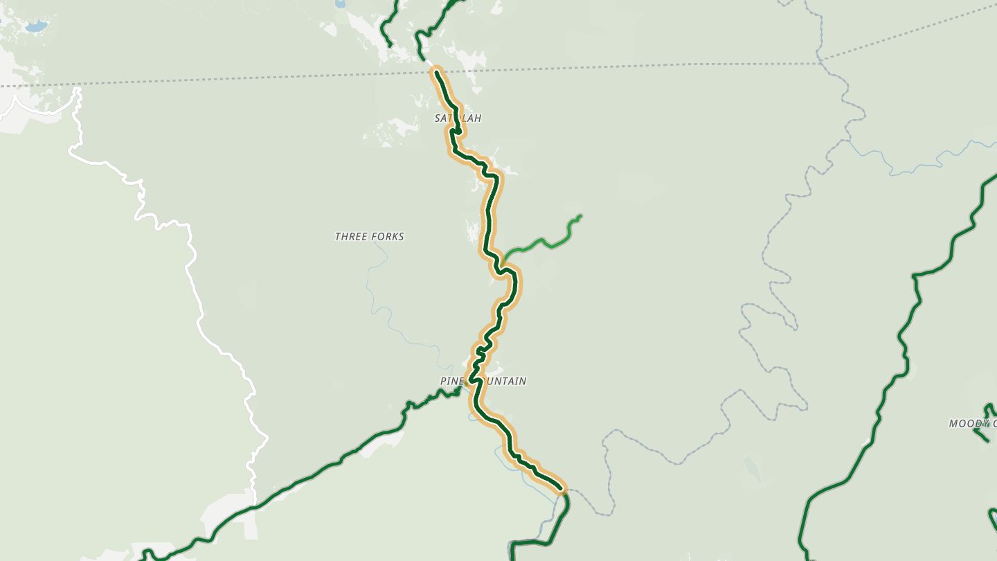
08Georgia 28 (Highway 28)
Georgia 28 from the Warwoman Road junction north to the North Carolina line near Satolah, part of the Highway 28 run between Walhalla and Highlands.
Part of the Highway 28 run between Walhalla and Highlands, with tight curves and long sweepers through national forest, past rivers and waterfalls. One rider ranked it above the Dragon.
7.8 miles · 1,650 ft of climbing · near Satolah
Open in WendRecommended by MotorcycleRoads.com
-
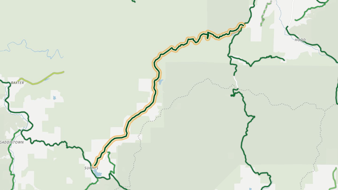
09Wolf Pen Gap Road (GA 180)
GA 180 Wolf Pen Gap Road, north leg of the Georgia Triangle, from Suches past Lake Winfield Scott.
The tightest leg of the Georgia Triangle. It runs past Lake Winfield Scott and through the Sosbee Cove Scenic Area, with steep grades and one hairpin after another toward Vogel State Park.
10.9 miles · 2,600 ft of climbing · near Suches
Open in WendRecommended by Rider Magazine
-
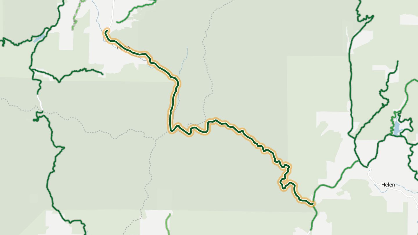
10Richard B. Russell Scenic Highway (GA 348)
GA 348 over Hogpen Gap, part of the Russell-Brasstown Scenic Byway.
A forested ridge road in the Chattahoochee National Forest with gentle sweepers to the north and tighter corners south, crossing the Appalachian Trail at Hogpen Gap with overlooks and waterfall trails nearby.
12.2 miles · 2,950 ft of climbing · near Helen
Good to know Usually closed after snow.
Open in WendRecommended by Explore Georgia
More regions
ArizonaAustraliaCaliforniaColoradoGreat BritainMissouriNew JerseyNew YorkNorth CarolinaOhioTennesseeVirginiaWashingtonWisconsin