 Wend
Wend
Driving roads · New York
The best driving roads in New York
The ten roads in New York with the most curve and climb on Wend's map, each one also recommended by people who have driven or ridden it.
-
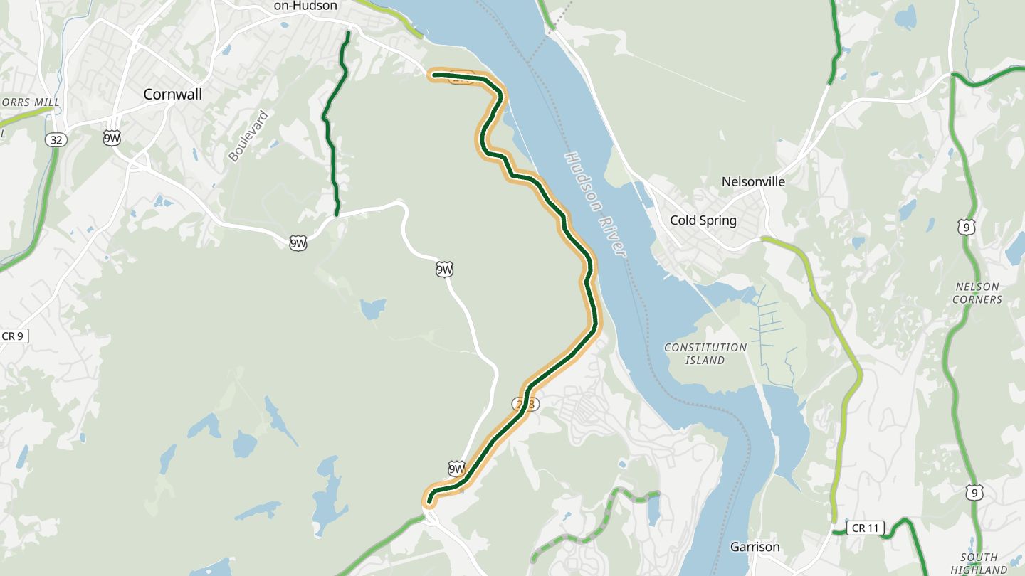
01Storm King Highway (NY 218)
NY 218 Storm King Highway on the cliffs above the Hudson, Cornwall-on-Hudson to West Point.
Cut into the side of Storm King Mountain high above the Hudson, it packs a run of curves into a few miles, with pullouts for the river views on the way to West Point.
4.9 miles · 750 ft of climbing · near Cornwall-on-Hudson
Good to know Closes at times for rockfall and bad weather.
Open in WendRecommended by AAA
-
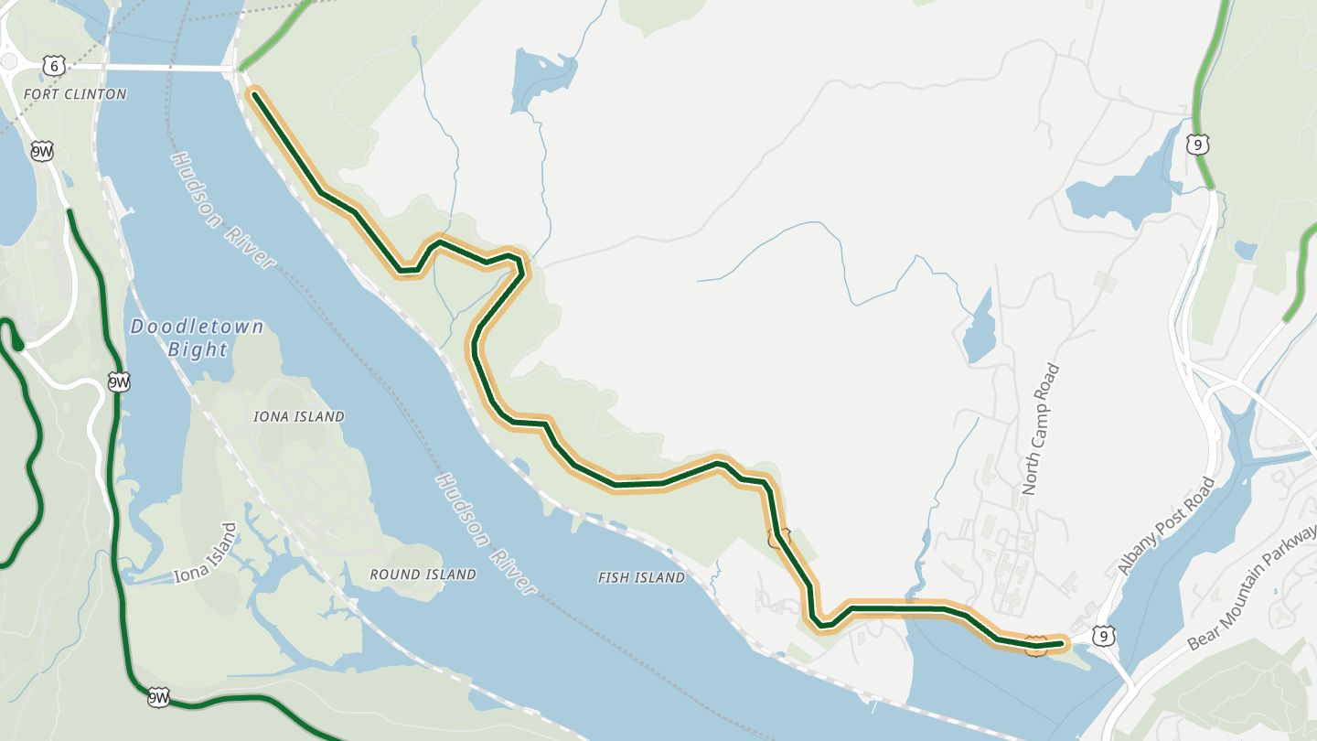
02Bear Mountain Bridge Road (US 6/202)
US 6/202 Bear Mountain Bridge Road around Anthony's Nose, east end of the Bear Mountain Bridge.
Carved along the face of Anthony's Nose from the Bear Mountain Bridge, it strings together fast, flowing turns above the Hudson Highlands. Riders rate its corners and river scenery highly and favour it early on a Sunday morning.
3.4 miles · 600 ft of climbing · near Peekskill
Good to know Occasional maintenance closures.
Open in WendRecommended by BestBikingRoads (motorcycle routes)
-
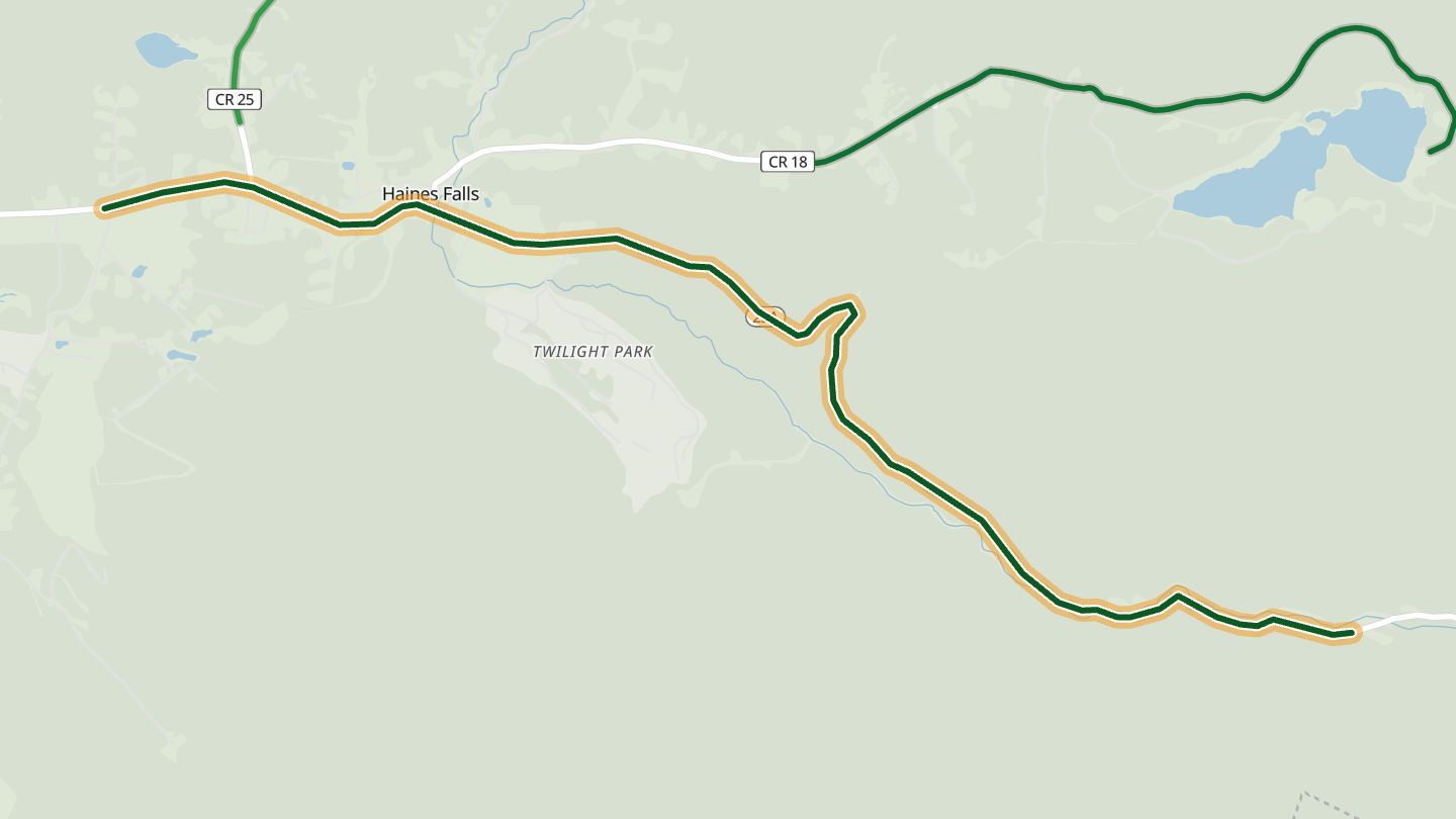
03Kaaterskill Clove (NY 23A)
NY 23A up Kaaterskill Clove, Palenville to Haines Falls.
Climbs out of Palenville through Kaaterskill Clove, the steep Catskills gorge the Hudson River School painted, with the creek and Bastion Falls right beside the road and tight curves up to Haines Falls.
5.0 miles · 1,700 ft of climbing · near Palenville
Open in WendRecommended by Great Northern Catskills (Greene County tourism)
-
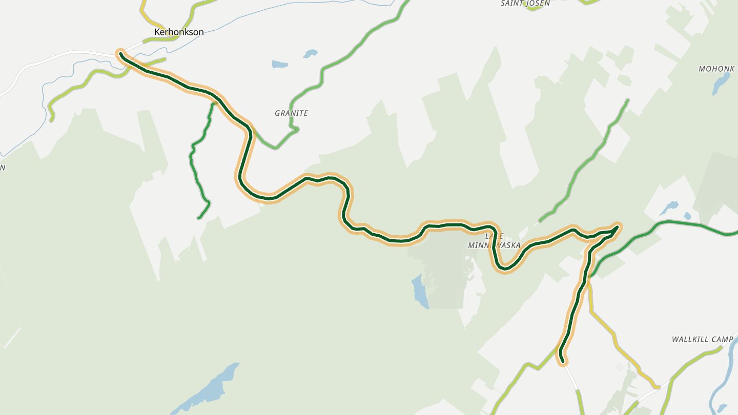
04US 44 / NY 55 over the Shawangunks
US 44 / NY 55 climbing the Shawangunk Ridge from Kerhonkson past Minnewaska State Park toward Gardiner.
Climbs from the Rondout Valley onto the Shawangunk Ridge past Minnewaska State Park, then drops through a tight hairpin below the Trapps cliffs with long views over the Wallkill Valley. It is the spine of the Shawangunk Mountains Scenic Byway.
11.6 miles · 1,450 ft of climbing · near Kerhonkson
Open in WendRecommended by Islands (travel magazine)
-
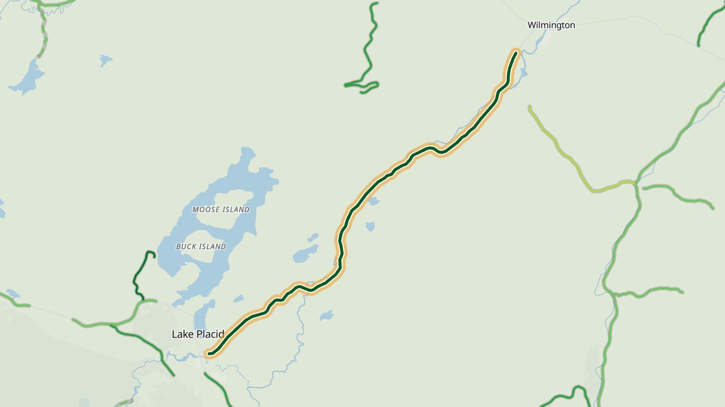
05Wilmington Notch (NY 86)
NY 86 through Wilmington Notch along the West Branch Ausable, Lake Placid to Wilmington.
Runs through the notch between Whiteface Mountain and the Sentinel Range with the West Branch of the Ausable rushing alongside, past the waterfalls of High Falls Gorge. Lake Placid's tourism guide picks it as a fall-colour drive.
11.1 miles · 1,650 ft of climbing · near Lake Placid
Open in WendRecommended by Lake Placid regional tourism (lakeplacid.com)
-
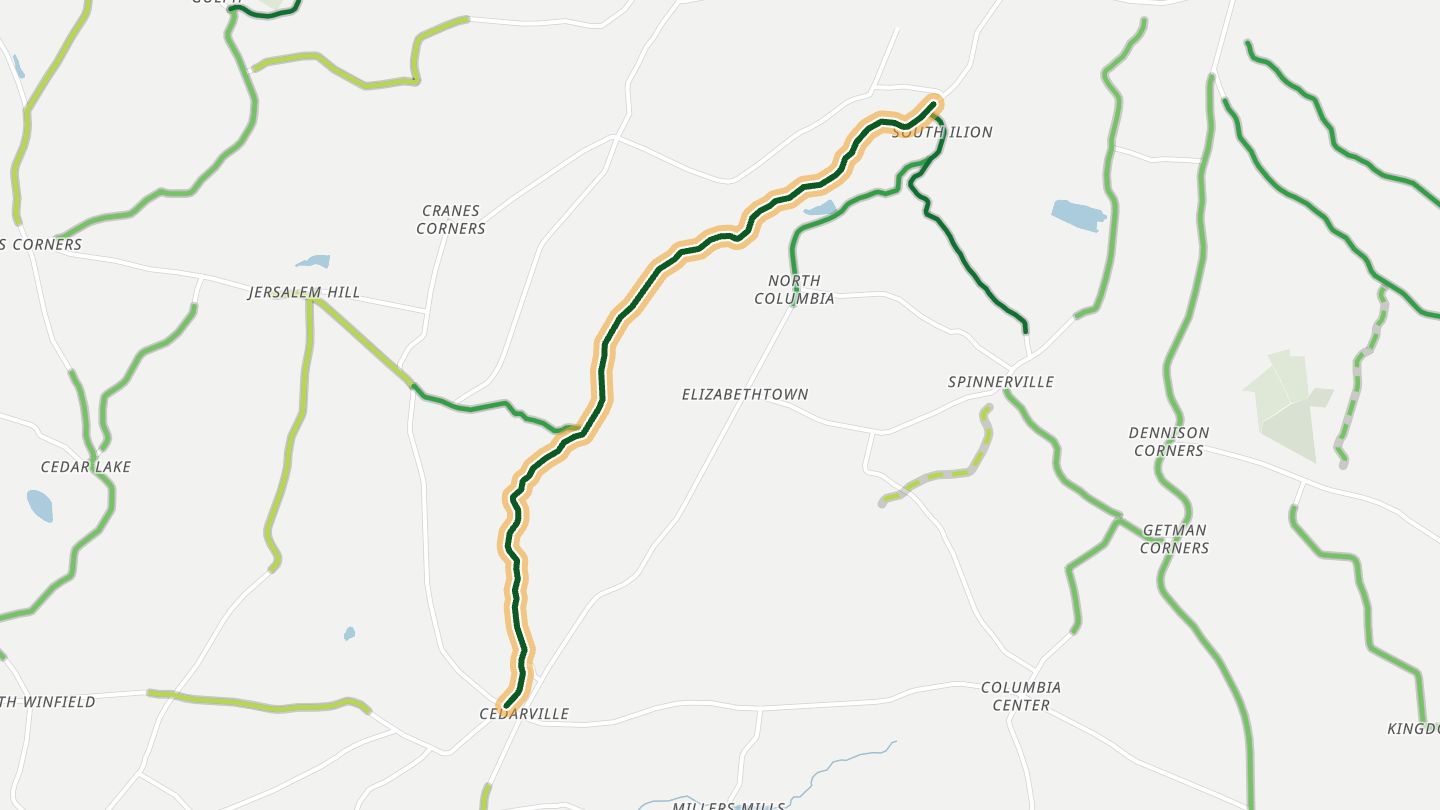
06Ilion Gorge (NY 51)
NY 51 through the Ilion Gorge, Ilion south toward Cedarville.
Follows a small creek through a narrow, steep-sided gorge south of Ilion, with sharp turns that riders say are banked just right. The gorge fills with colour in fall and runs loud with snowmelt in spring.
6.6 miles · 1,000 ft of climbing · near Ilion
Open in WendRecommended by MotorcycleRoads.com
-
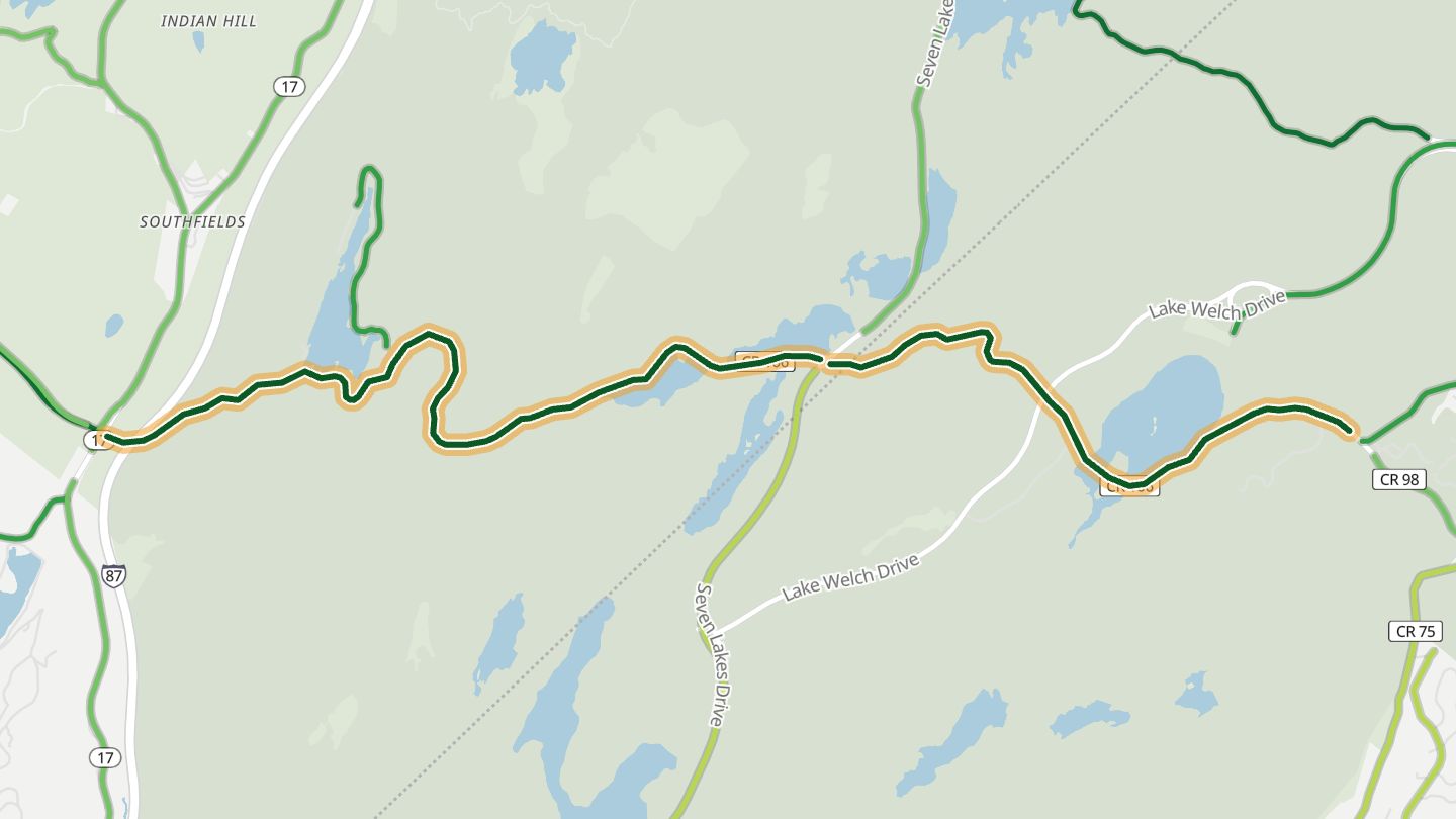
07Kanawauke Road
Orange CR 106 (Kanawauke Road) through Harriman State Park past the Kanawauke lakes.
Winds through the woods of Harriman State Park past the Kanawauke lakes, the centrepiece of the Harriman Loop that riders recommend for its string of lakeside turns.
8.5 miles · 1,350 ft of climbing · near Harriman
Open in WendRecommended by MotorcycleRoads.com
-
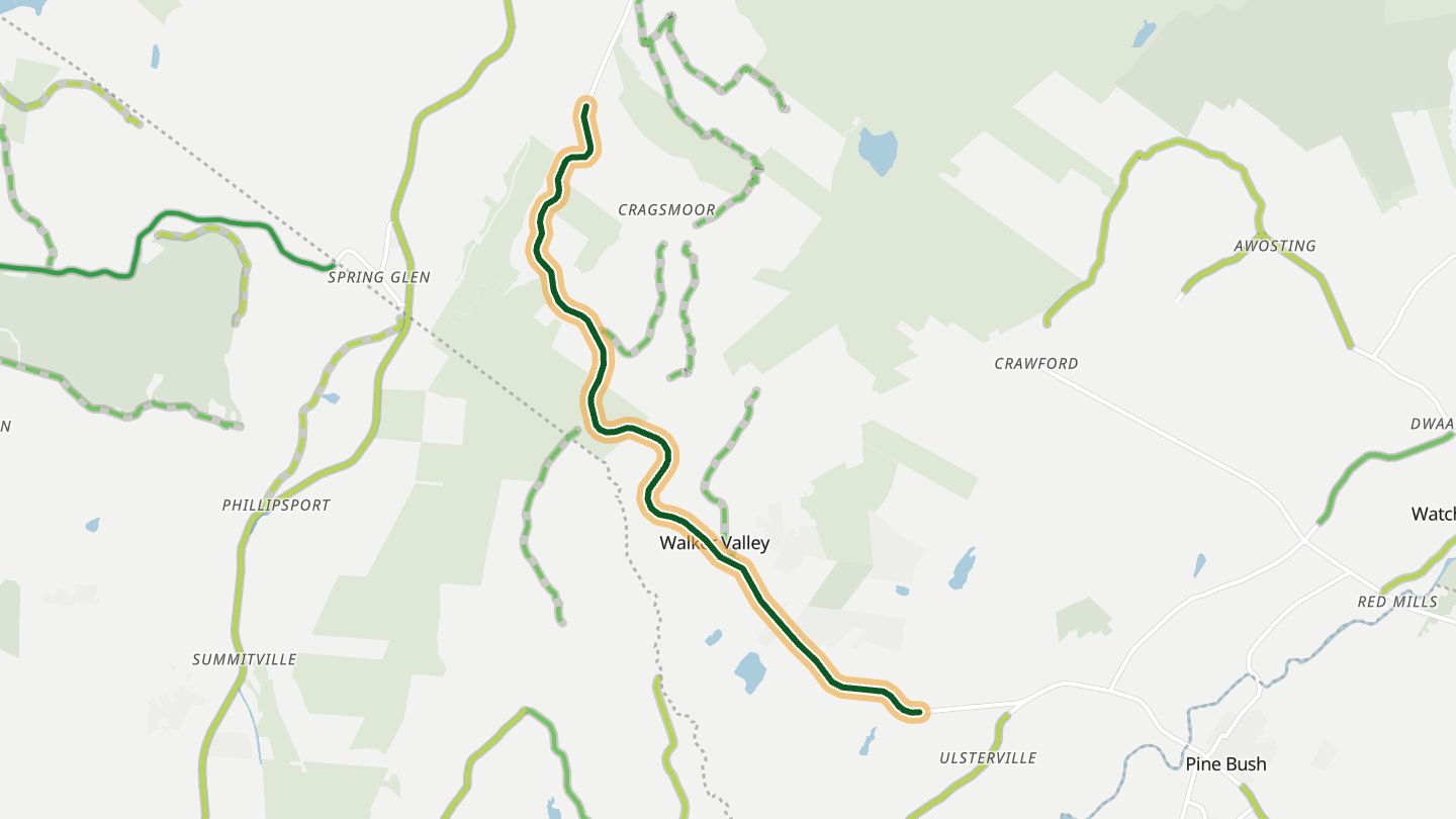
08NY 52 over the Shawangunks
NY 52 climbing the Shawangunk Ridge from Ellenville toward Walker Valley.
Climbs out of Ellenville onto the Shawangunk Ridge with plenty of twists and elevation change, then opens onto farmland views, and riders single out the lookout just past town. It is part of the Shawangunk Mountains Scenic Byway.
7.1 miles · 1,150 ft of climbing · near Ellenville
Open in WendRecommended by MotorcycleRoads.com
-
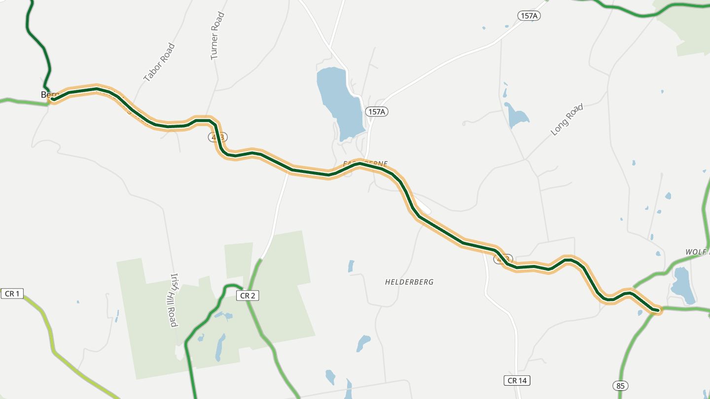
09Helderberg Trail (NY 443)
NY 443 (Helderberg Trail) around Berne / East Berne in the Helderbergs.
Crosses the Helderberg hills west of Albany, alternating fast sweepers with twisties, most of them between East Berne and the Schoharie Valley, past farm fields and small lakes. Thacher Park's cliff-top view over the Capital District is a short detour.
7.0 miles · 850 ft of climbing · near Berne
Open in WendRecommended by MotorcycleRoads.com
-
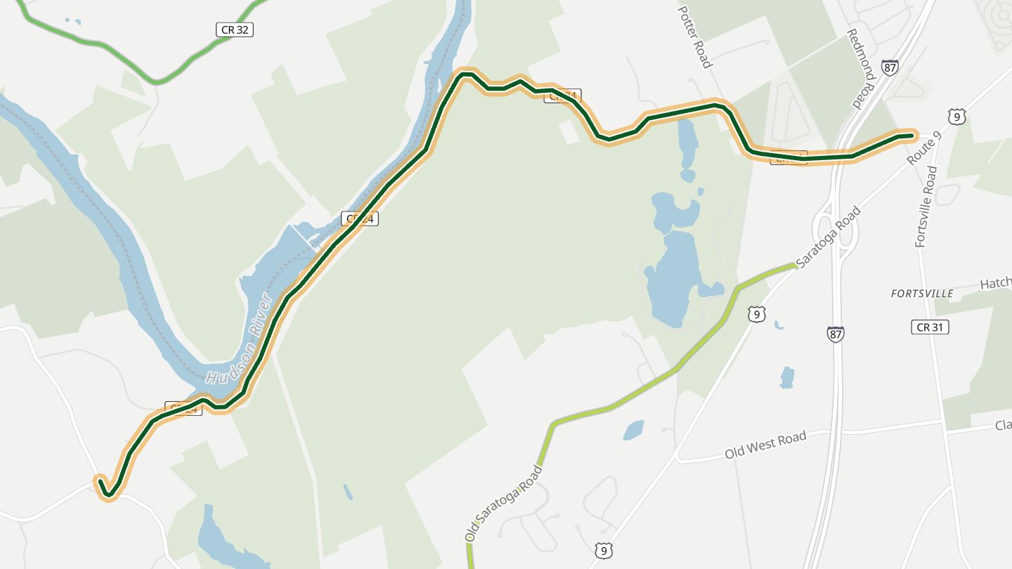
10Spier Falls Road
Spier Falls Road along the Hudson above Spier Falls Dam, Moreau toward Corinth.
Follows the Hudson above Spier Falls Dam, where elevation changes and river views break up a run of technical curves. Riders rate both its scenery and its corners highly.
6.9 miles · 750 ft of climbing · near Moreau
Open in WendRecommended by BestBikingRoads (motorcycle routes)
More regions
ArizonaAustraliaCaliforniaColoradoGeorgiaGreat BritainMissouriNew JerseyNorth CarolinaOhioTennesseeVirginiaWashingtonWisconsin