 Wend
Wend
Driving roads · Australia
The best driving roads in Australia
The ten roads in Australia with the most curve and climb on Wend's map, each one also recommended by people who have driven or ridden it.
-
01Great Alpine Road
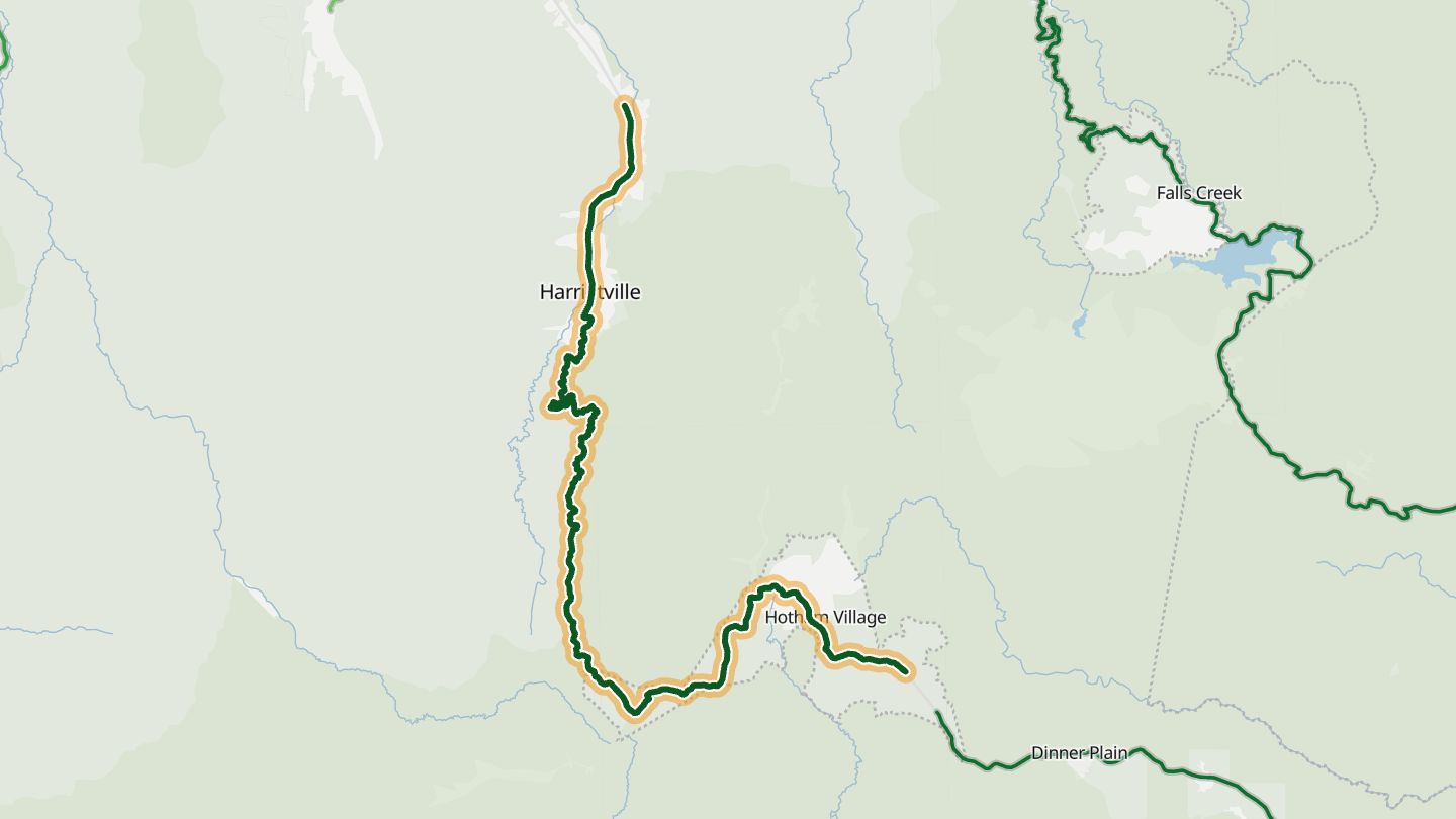
Great Alpine Road (B500) Harrietville to Mount Hotham, Victoria.
It climbs from Harrietville across the shoulders of Mount Hotham, with steep climbs, sheer cliffs and Mount Feathertop in the backdrop: the mountain counterpart to the Great Ocean Road.
45.2 km · 2,080 m of climbing · near Harrietville
Good to know Snow season: chains must be carried and fitted in winter.
Open in WendRecommended by Bikesales
-
02Great Ocean Road
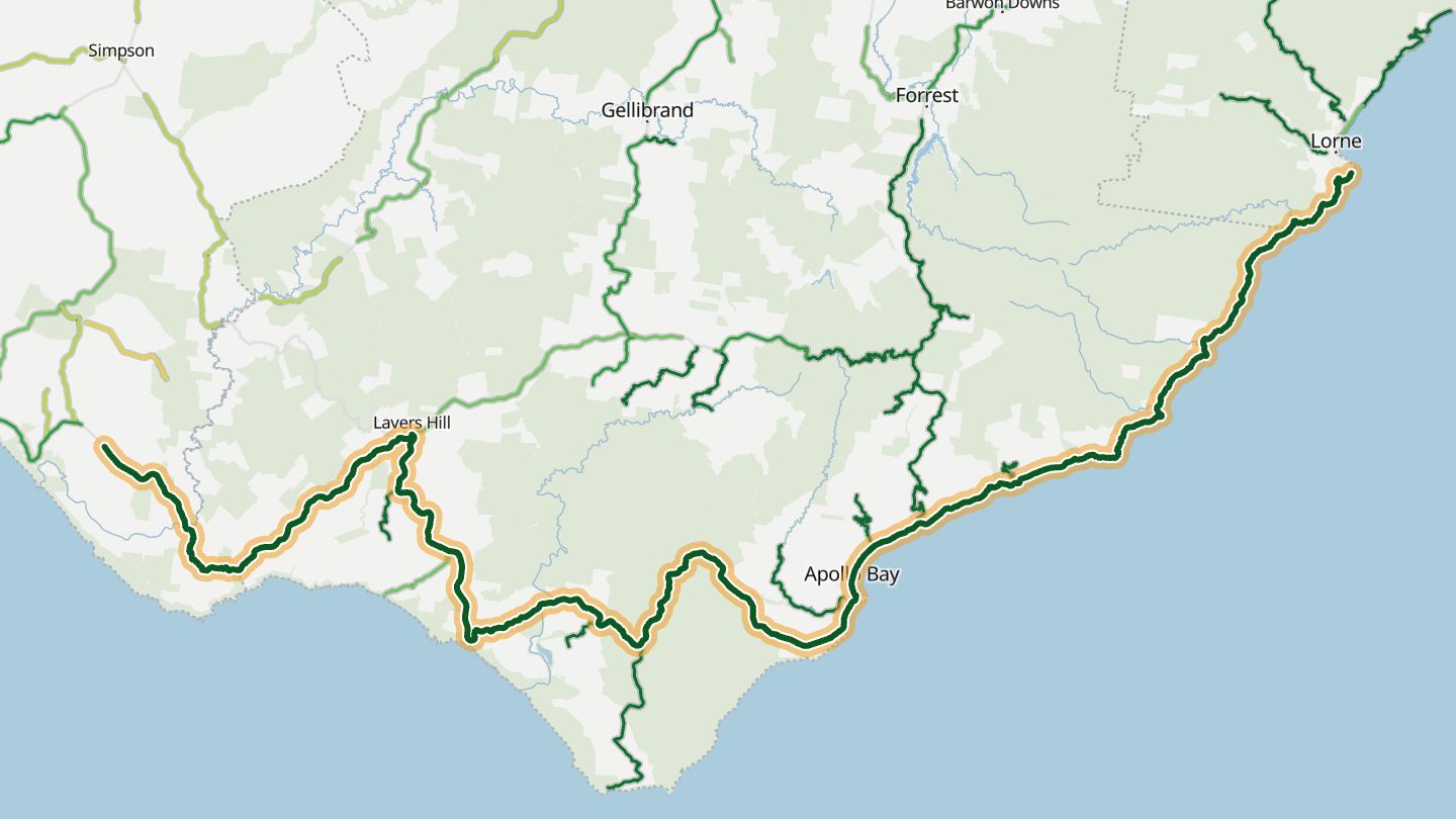
Great Ocean Road (B100), Apollo Bay to Port Campbell, Victoria.
Runs along Bass Strait cliffs from the Otway rainforest to the limestone coast at Port Campbell, a road riders list first among Victoria's great motorcycling roads.
124.2 km · 2,110 m of climbing · near Apollo Bay
Open in WendRecommended by Bikesales
-
03Bonang Road
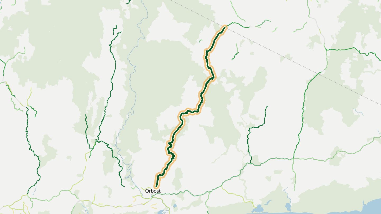
Bonang Road, Orbost to Bonang and on to Delegate, East Gippsland, Victoria.
Close to a hundred kilometres of unbroken corners through East Gippsland forest, most of them taken at around 45 km/h. Riders count it among the most demanding roads in Victoria.
120.1 km · 2,140 m of climbing · near Bonang
Open in WendRecommended by Bikesales
-
04Skenes Creek Road
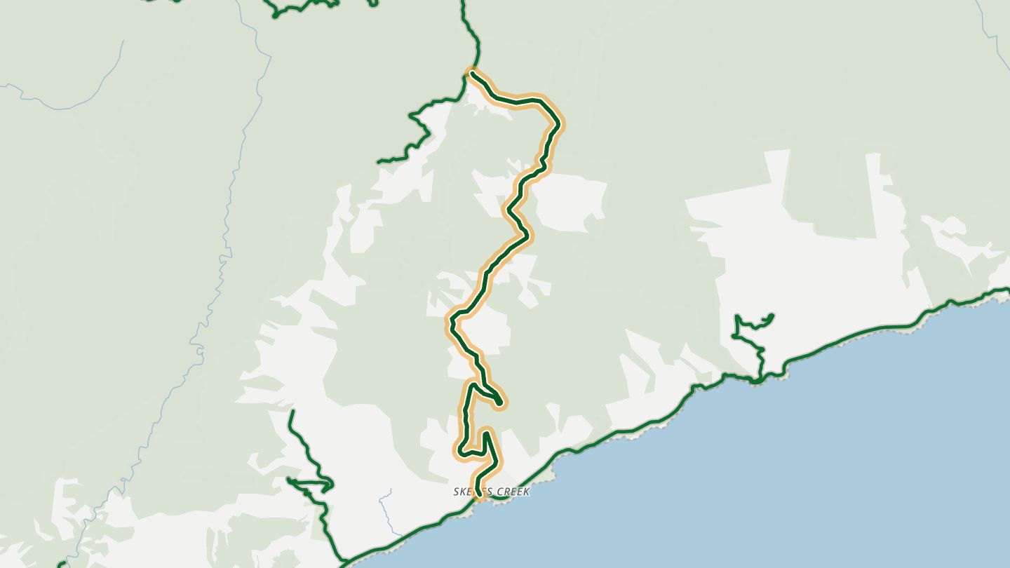
Skenes Creek Road (C119), Otway Ranges hinterland between Skenes Creek on the Great Ocean Road and Forrest.
Leaves the Great Ocean Road at the coast and climbs into the Otway Ranges, about 30 km of twisties through tall forest to Forrest. Quieter and more demanding than the coastal road.
13.8 km · 550 m of climbing · near Apollo Bay
Open in WendRecommended by Bikesales
-
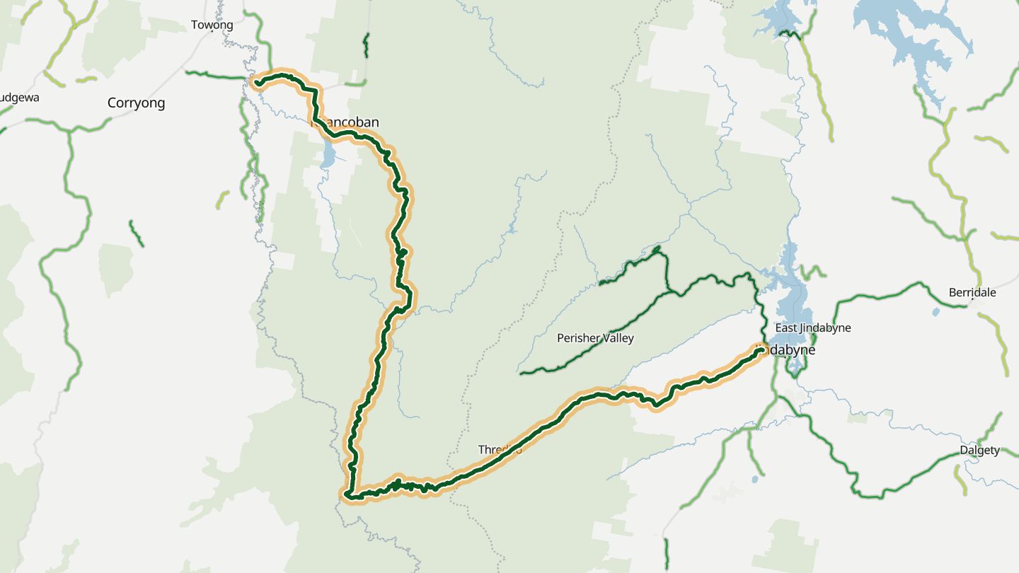
05Alpine Way
Alpine Way, Khancoban to Thredbo and Jindabyne, Kosciuszko National Park.
Winds through tall mountain forest beneath the Main Range, with snow-capped peaks in view from winter into spring, and Snowy Mountains hydro-electric heritage along the way.
131.8 km · 3,700 m of climbing · near Thredbo
Good to know Park entry fee; snow chains compulsory in winter for 2WD between Tom Groggin and Thredbo; large caravans not recommended.
Open in WendRecommended by NSW National Parks
-
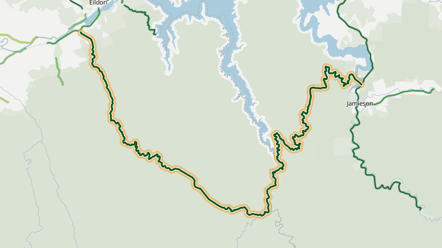
06Eildon - Jamieson Road
Eildon-Jamieson Road (C515), Eildon to Jamieson along the south edge of Lake Eildon National Park, Victoria.
About 60 km of left-right corners along the southern edge of Lake Eildon National Park, sealed throughout, with dense forest and granite walls beside the road. Riders rate its corners five stars.
62.7 km · 2,340 m of climbing · near Eildon
Open in WendRecommended by BestBikingRoads (motorcycle routes)
-
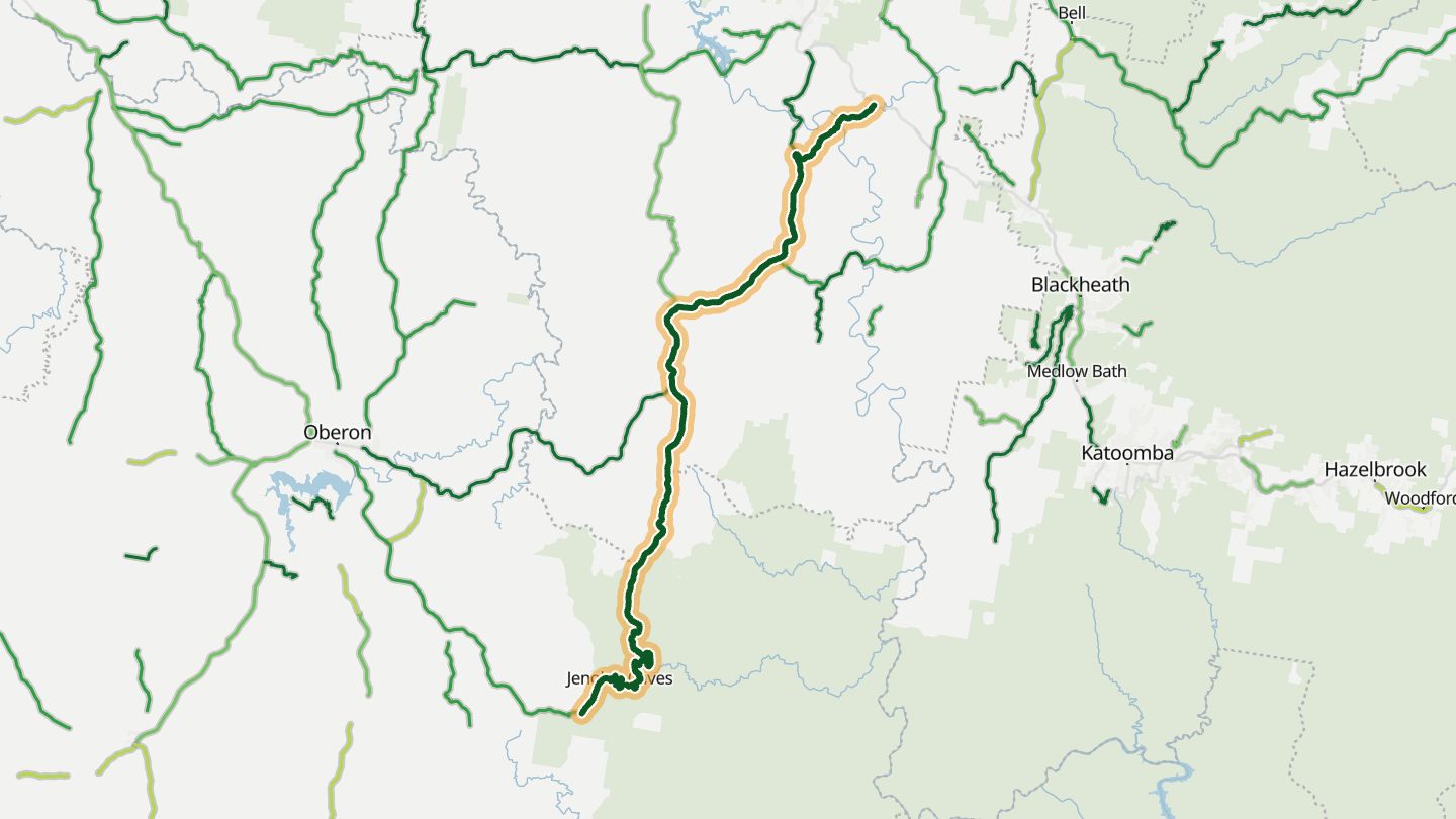
07Jenolan Caves Road
Jenolan Caves Road, Hartley and Oberon to Jenolan Caves, Blue Mountains NSW.
Hairpins drop into the Jenolan Valley, where the road runs through the Grand Arch to the caves, with escarpment views and the Kanangra Walls detour nearby.
56.9 km · 2,080 m of climbing · near Jenolan Caves
Good to know Caravans not allowed.
Open in WendRecommended by Greater Blue Mountains Drive
-
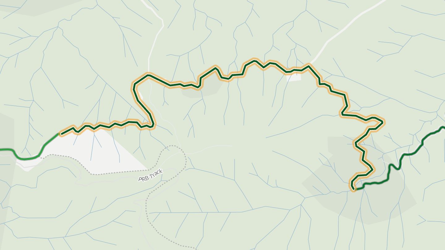
08Mount Spec Road
Mount Spec Road, Mutarnee to Paluma, Paluma Range, Queensland.
One of Queensland's first tourist roads, built in the 1930s to open scenic spots. It twists up the Paluma Range with views over Halifax Bay, passing a concrete arch bridge at Little Crystal Creek and several lookouts.
9.2 km · 850 m of climbing · near Paluma
Good to know Can close in wet weather after landslips or fallen trees. A permit requirement after 2025 wet-season damage was lifted from 31 March 2026.
Open in WendRecommended by Wikipedia
-
09Bogong High Plains Road
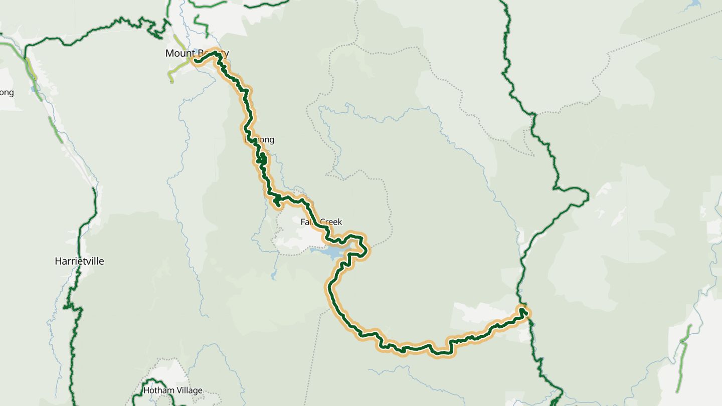
Bogong High Plains Road, Mount Beauty to Falls Creek, Victoria.
Climbs from the Kiewa Valley onto the Bogong High Plains, through alpine heathland, with Danny's Lookout giving views across to Mount Feathertop and Mount Buffalo.
72.2 km · 2,710 m of climbing · near Falls Creek
Good to know The Falls Creek to Omeo section closes in the snow season (roughly November to May open).
Open in WendRecommended by Visit Bright
-
10Omeo Highway
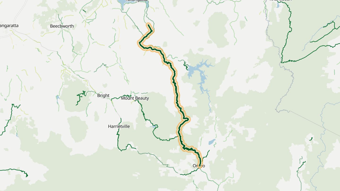
Omeo Highway (B500/C543), Tallangatta Valley to Omeo and Mitta Mitta, Victoria.
Crosses alpine country between the north-east and Gippsland, a long run riders describe as memorable and scenic.
158.6 km · 4,120 m of climbing · near Omeo
Open in WendRecommended by Bikesales
More regions
ArizonaCaliforniaColoradoGeorgiaGreat BritainMissouriNew JerseyNew YorkNorth CarolinaOhioTennesseeVirginiaWashingtonWisconsin