 Wend
Wend
Driving roads · Colorado
The best driving roads in Colorado
The ten roads in Colorado with the most curve and climb on Wend's map, each one also recommended by people who have driven or ridden it.
-
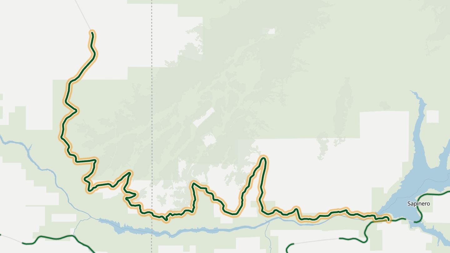
01CO 92 Black Canyon North Rim
CO 92 from Blue Mesa Dam west along the north rim of the Black Canyon toward Crawford.
Riders call it the best motorcycle road in Colorado: mile after mile of turns along the north rim of the Black Canyon, with views into its thousand-foot cliffs and aspen groves that turn gold in fall.
30.6 miles · 7,350 ft of climbing · near Crawford
Open in WendRecommended by MotorcycleRoads.com
-
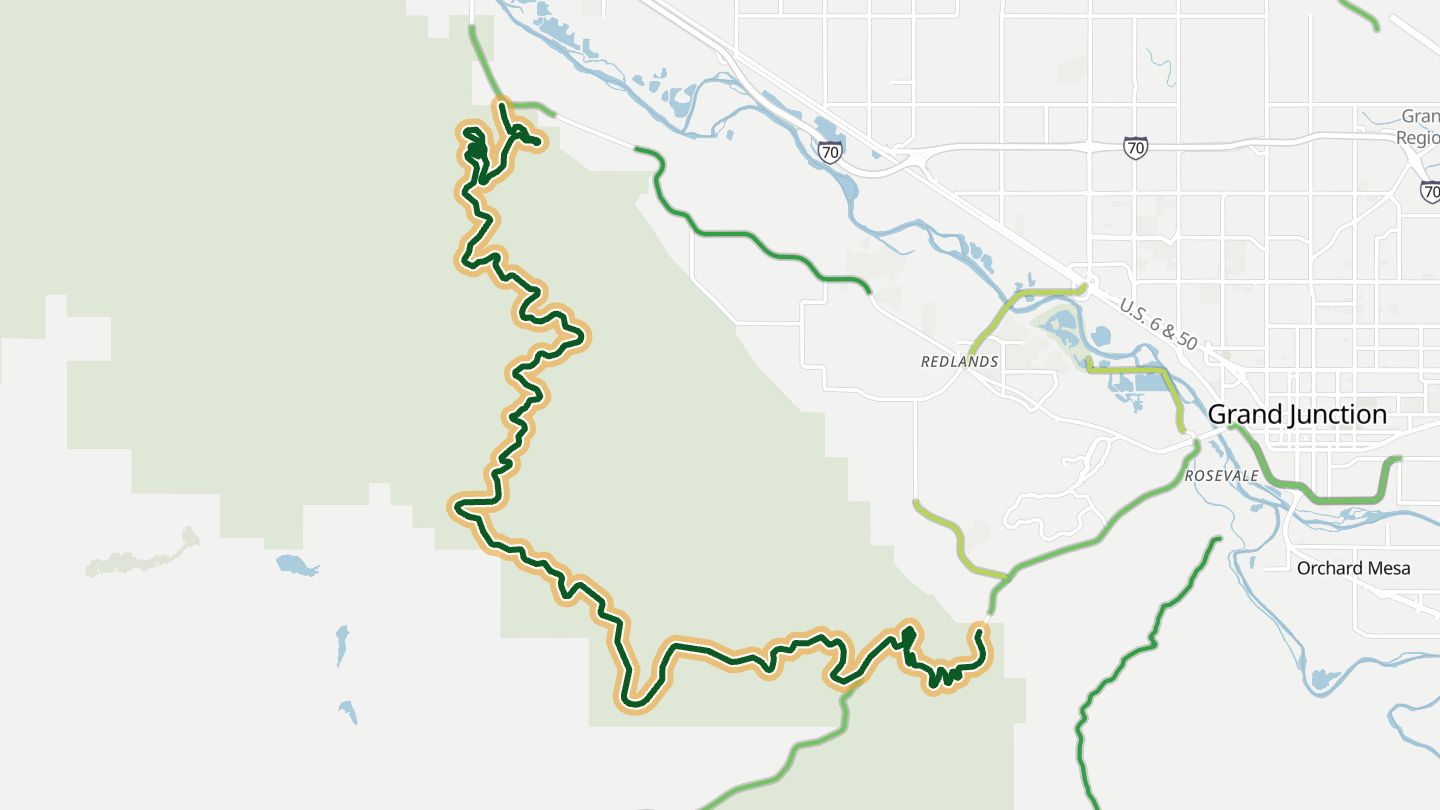
02Rim Rock Drive
Rim Rock Drive through Colorado National Monument, Grand Junction to Fruita.
Built largely by hand in the 1930s, the drive follows the rim of Colorado National Monument past 19 viewpoints over red sandstone canyons, with tunnels cut through the cliffs.
22.3 miles · 5,600 ft of climbing · near Redlands
Good to know Colorado National Monument entrance fee.
Open in WendRecommended by National Park Service
-
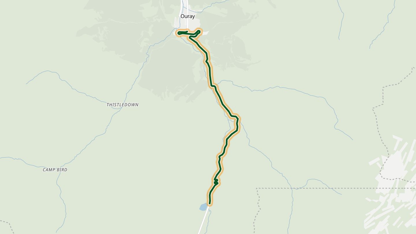
03Million Dollar Highway
US 550 from Ouray up the Uncompahgre Gorge toward Red Mountain Pass.
Out of Ouray the road clings to the walls of the Uncompahgre Gorge, through a short tunnel and up switchbacks toward Red Mountain Pass, with old mines near the top and the river far below.
6.1 miles · 5,800 ft of climbing · near Ouray
Good to know Snow and rockslides possible from mid-October to spring; chain law can apply in winter.
Open in WendRecommended by America Rides Maps (adv-traveler.com)
-
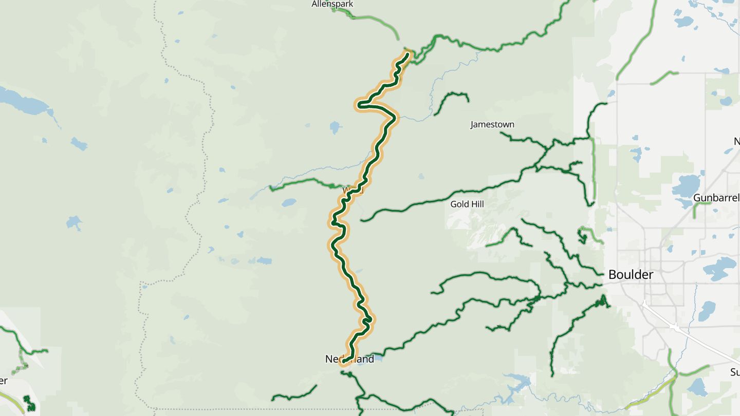
04Peak to Peak Highway (CO 72, Ward)
CO 72 Peak to Peak Scenic Byway between Nederland, Ward and Allenspark.
Perfect-radius sweepers past the old mining settlement of Ward, climbing to about 9,450 ft with smooth pavement, mountain vistas and few stop signs.
21.2 miles · 6,150 ft of climbing · near Ward
Open in WendRecommended by Rider Magazine
-
05Guanella Pass Road
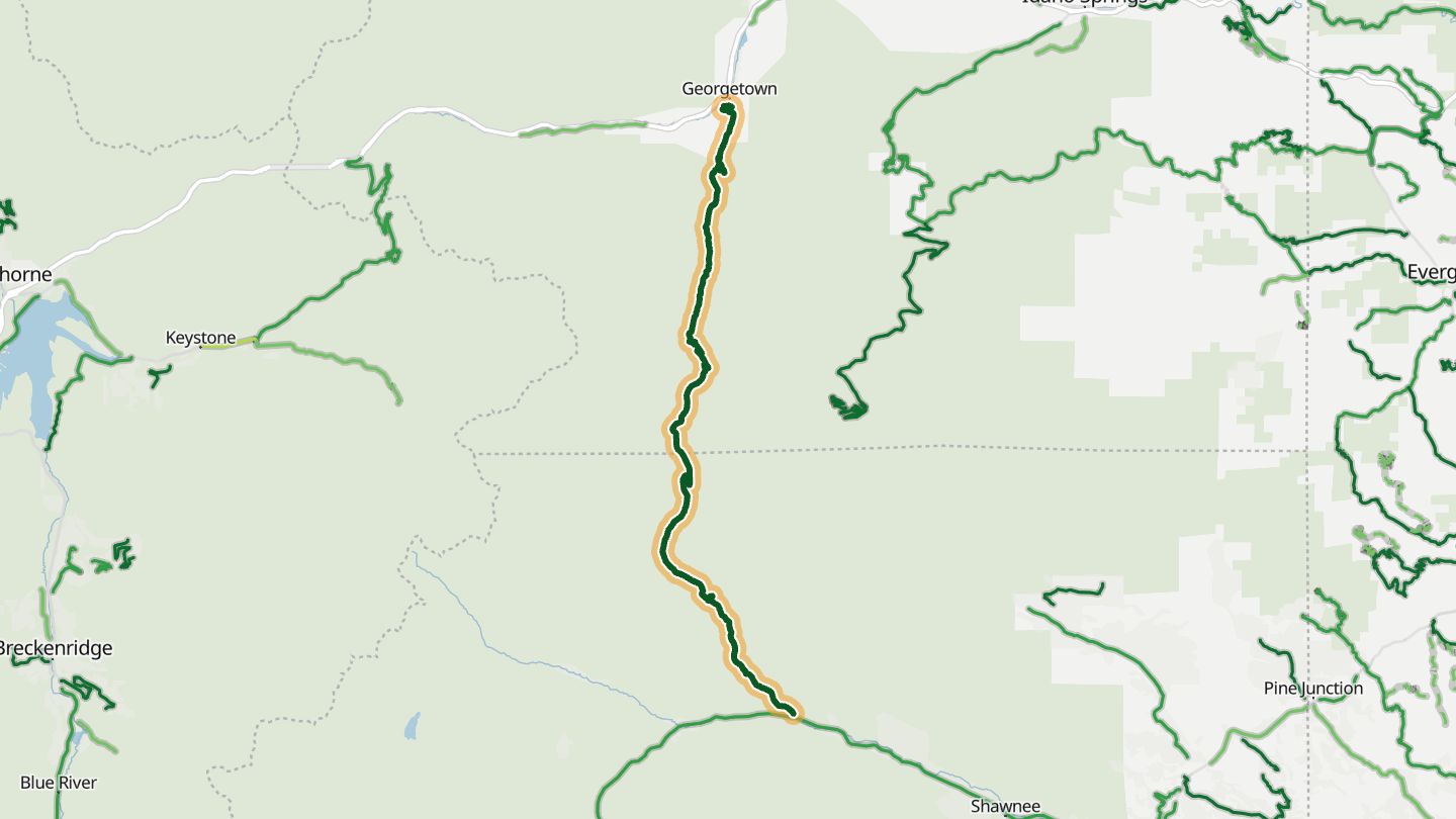
Guanella Pass Scenic Byway, Georgetown to Grant.
Above Georgetown, an old silver mining town, the paved road zigzags up beside a trout creek, through spruce and aspen to wildflower tundra near 11,700 ft, with the Mount Evans Wilderness along its east side.
23.3 miles · 7,500 ft of climbing · near Georgetown
Good to know Usually open late May to late November; closed near the summit in winter.
Open in WendRecommended by US Forest Service
-
06Boulder Canyon (CO 119)
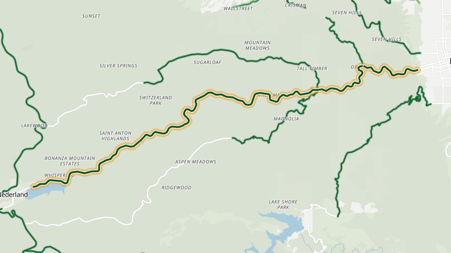
CO 119 through Boulder Canyon, Boulder to Nederland.
A twisting road climbs between rock walls alongside Boulder Creek, passing the 70-foot Boulder Falls before the canyon opens into the wide valley at Nederland.
14.5 miles · 7,050 ft of climbing · near Boulder
Open in WendRecommended by Sunset magazine
-
07Silver Thread Scenic Byway (CO 149)
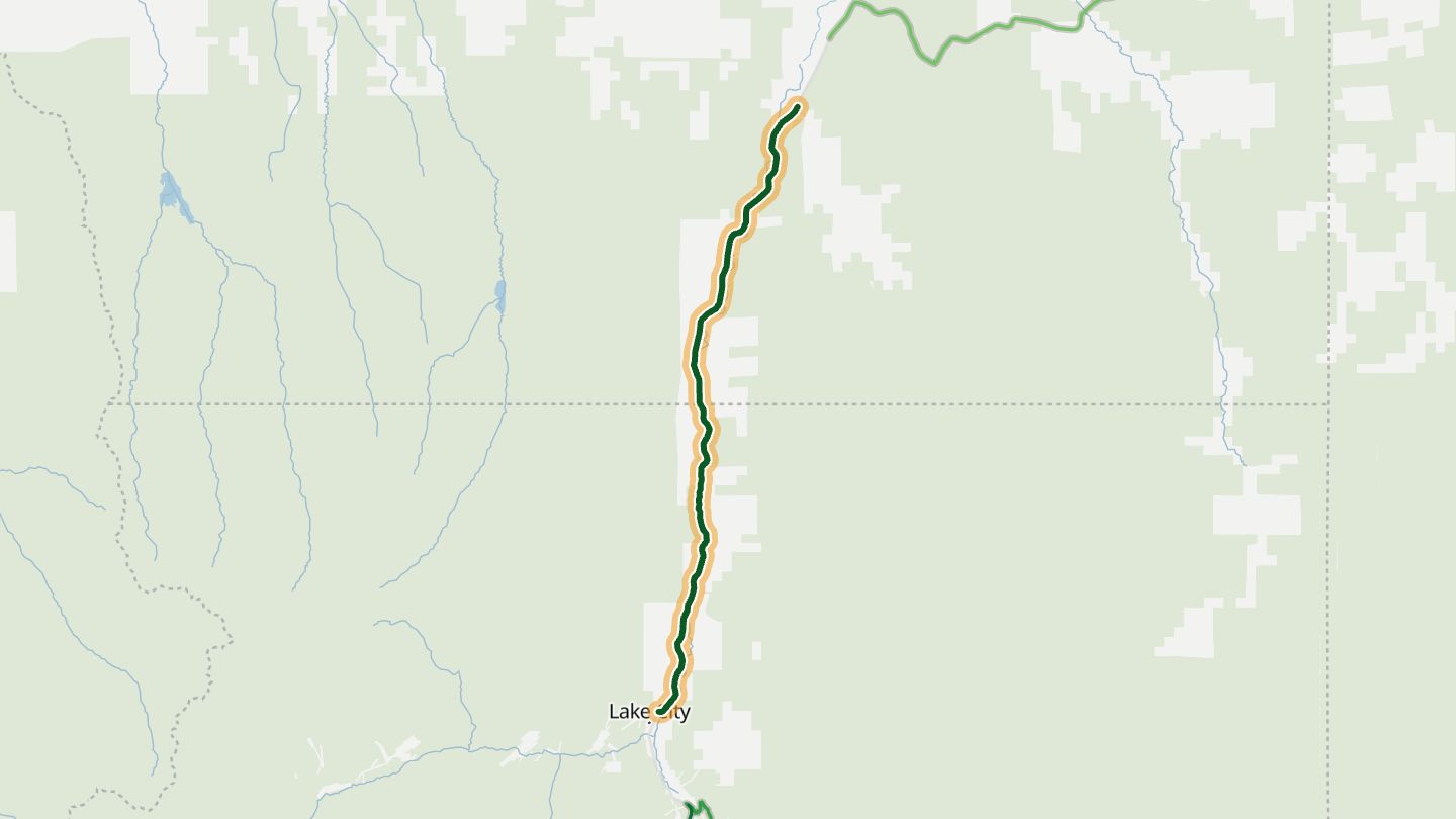
Silver Thread Scenic Byway, CO 149 around Lake City.
The byway follows the upper Rio Grande past North Clear Creek Falls and the Slumgullion earth slide, with the fin of Uncompahgre Peak above old mining country.
17.1 miles · 5,200 ft of climbing · near Lake City
Good to know Snow in winter; some high stretches.
Open in WendRecommended by Colorado Scenic & Historic Byways (CDOT)
-
08US 160 Wolf Creek Pass
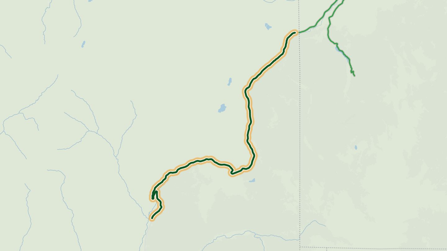
US 160 over Wolf Creek Pass between South Fork and Pagosa Springs (east side).
The eastern climb is gentle, and the western descent is the more dramatic side, dropping from the Continental Divide through the San Juan forests.
21.9 miles · 7,100 ft of climbing · near South Fork
Open in WendRecommended by Motorcycle Colorado
-
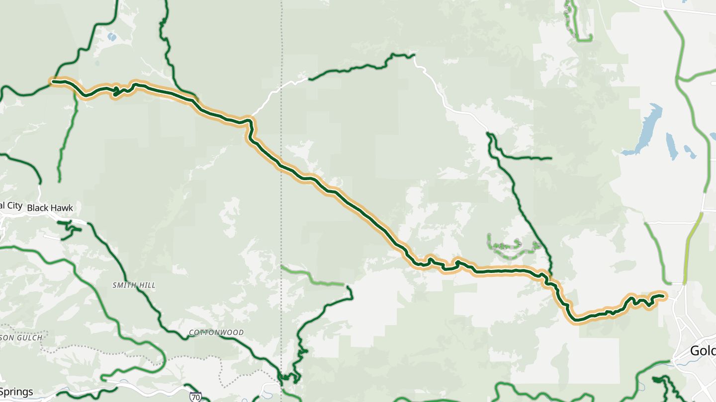
09Golden Gate Canyon Road
Golden Gate Canyon Road (Jefferson CR 70/46) from Golden to CO 119 near Black Hawk.
The bends keep coming, enough that riders have called it Colorado's answer to the Tail of the Dragon, with wooded valleys falling away on either side between Golden and the old mining towns around Black Hawk.
17.5 miles · 7,000 ft of climbing · near Golden
Open in WendRecommended by MotorcycleRoads.com
-
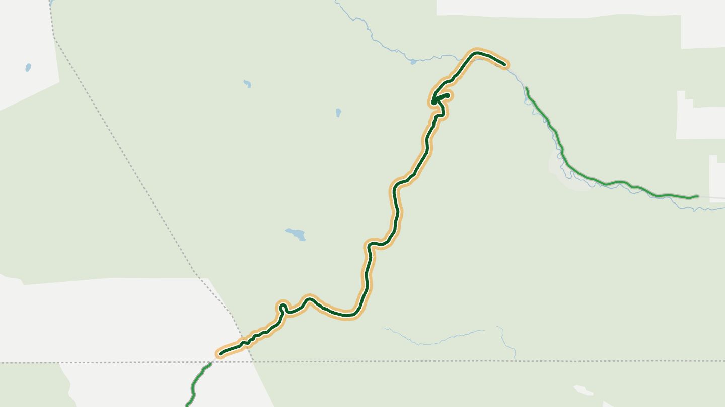
10CO 17 Cumbres Pass
CO 17 over Cumbres Pass between Antonito and the New Mexico line near Chama.
The road climbs from sagebrush country beside the Conejos River over Cumbres Pass, shadowing the Cumbres and Toltec steam railroad.
17.8 miles · 6,350 ft of climbing · near Chama
Good to know Snow can close the passes in winter.
Open in WendRecommended by Motorcycle Colorado
More regions
ArizonaAustraliaCaliforniaGeorgiaGreat BritainMissouriNew JerseyNew YorkNorth CarolinaOhioTennesseeVirginiaWashingtonWisconsin