 Wend
Wend
Driving roads · New Jersey
The best driving roads in New Jersey
The seven roads in New Jersey with the most curve and climb on Wend's map, each one also recommended by people who have driven or ridden it.
-
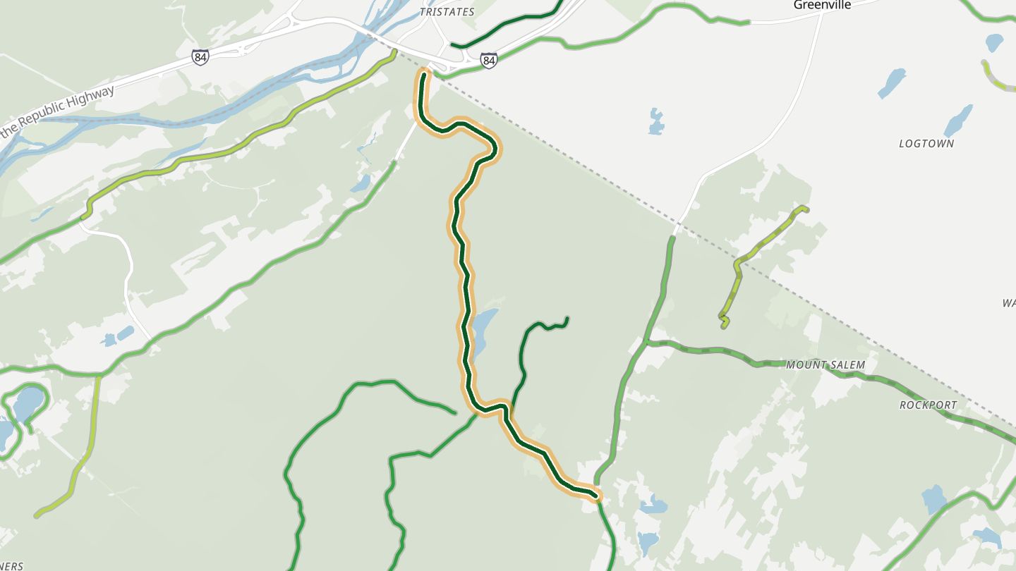
01NJ 23 over High Point
NJ 23 climbing through High Point State Park and descending toward Port Jervis, NY.
Twists up through High Point State Park and back down toward Port Jervis, with a side road to the monument at New Jersey's highest point and views over three states.
5.3 miles · 1,250 ft of climbing · near High Point State Park
Open in WendRecommended by MotorcycleRoads.com
-
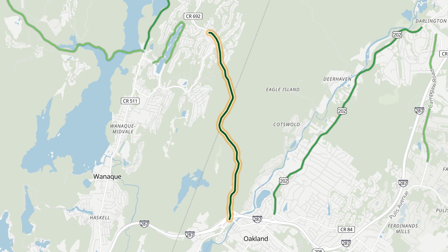
02Skyline Drive
Passaic CR 692, Skyline Drive from Oakland (I-287) over the Ramapo Mountains to Ringwood.
Climbs out of Oakland into the Ramapo Mountains through woods on both sides, with bird's-eye views of ridges rolling away to the west.
3.7 miles · 800 ft of climbing · near Ringwood
Open in WendRecommended by MotorcycleRoads.com
-
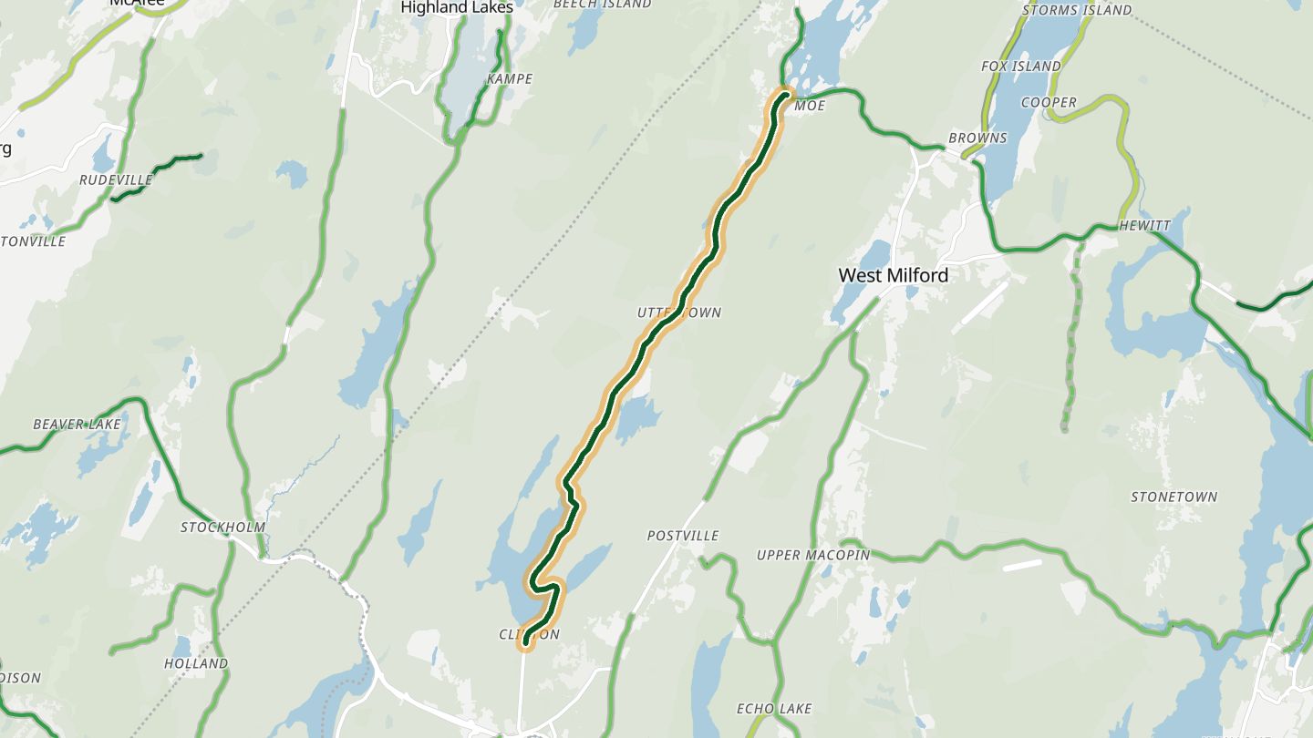
03Clinton Road
Clinton Road through the Newark (Pequannock) watershed from NJ 23 at Newfoundland north to Upper Greenwood Lake.
Snakes through the forested Pequannock watershed beside its reservoirs on recently repaved tarmac, and carries a long local reputation for ghost stories and strange sightings.
8.1 miles · 800 ft of climbing · near West Milford
Open in WendRecommended by Rider
-
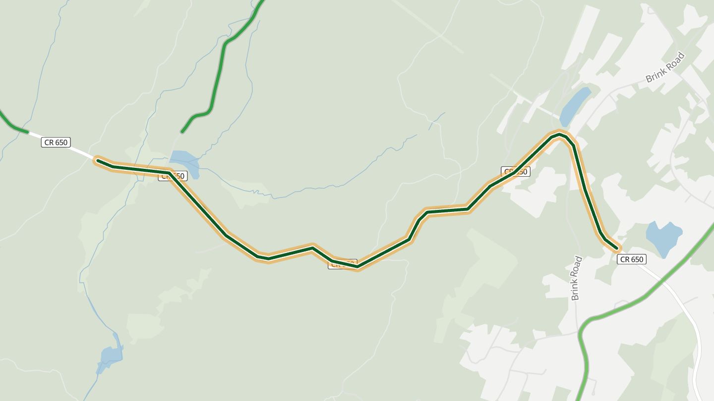
04Deckertown Turnpike
Sussex CR 650 climbing the Kittatinny Ridge west of Colesville toward Stokes State Forest and US 206.
Winding corners over the Kittatinny Ridge between Colesville and US 206, with almost no houses or traffic, and the link to Sunrise Mountain Road in Stokes State Forest.
2.9 miles · 850 ft of climbing · near Colesville
Open in WendRecommended by Rider
-
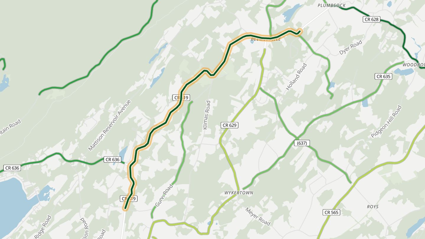
05CR 519 north of Branchville
Sussex CR 519 (Wantage Avenue) north of Branchville toward Colesville.
The northern run of Route 519, where riders say the twisties get good past Branchville, rolling through hills and farmland toward High Point.
4.9 miles · 500 ft of climbing · near Branchville
Open in WendRecommended by MotorcycleRoads.com
-
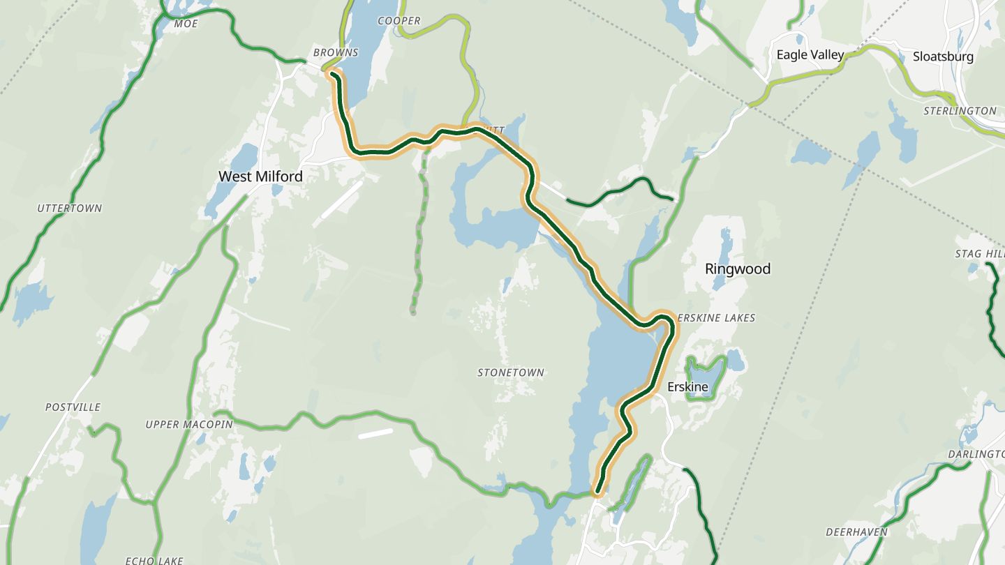
06Greenwood Lake Turnpike
CR 511 (Greenwood Lake Turnpike) along the Wanaque and Monksville reservoirs in Ringwood and West Milford.
Follows the shores of the Wanaque and Monksville reservoirs through forest and past streams, the natural continuation of a Skyline Drive run.
9.6 miles · 750 ft of climbing · near Ringwood
Open in WendRecommended by Rider
-

07CR 521 along Swartswood Lake
Sussex CR 521 (West Shore Drive) along Swartswood Lake.
Zigzags along the shore of Swartswood Lake, with a state park beach, boat rentals, picnic area and campground at the lake's northeast end.
5.7 miles · 450 ft of climbing · near Swartswood
Open in WendRecommended by Rider
More regions
ArizonaAustraliaCaliforniaColoradoGeorgiaGreat BritainMissouriNew YorkNorth CarolinaOhioTennesseeVirginiaWashingtonWisconsin